
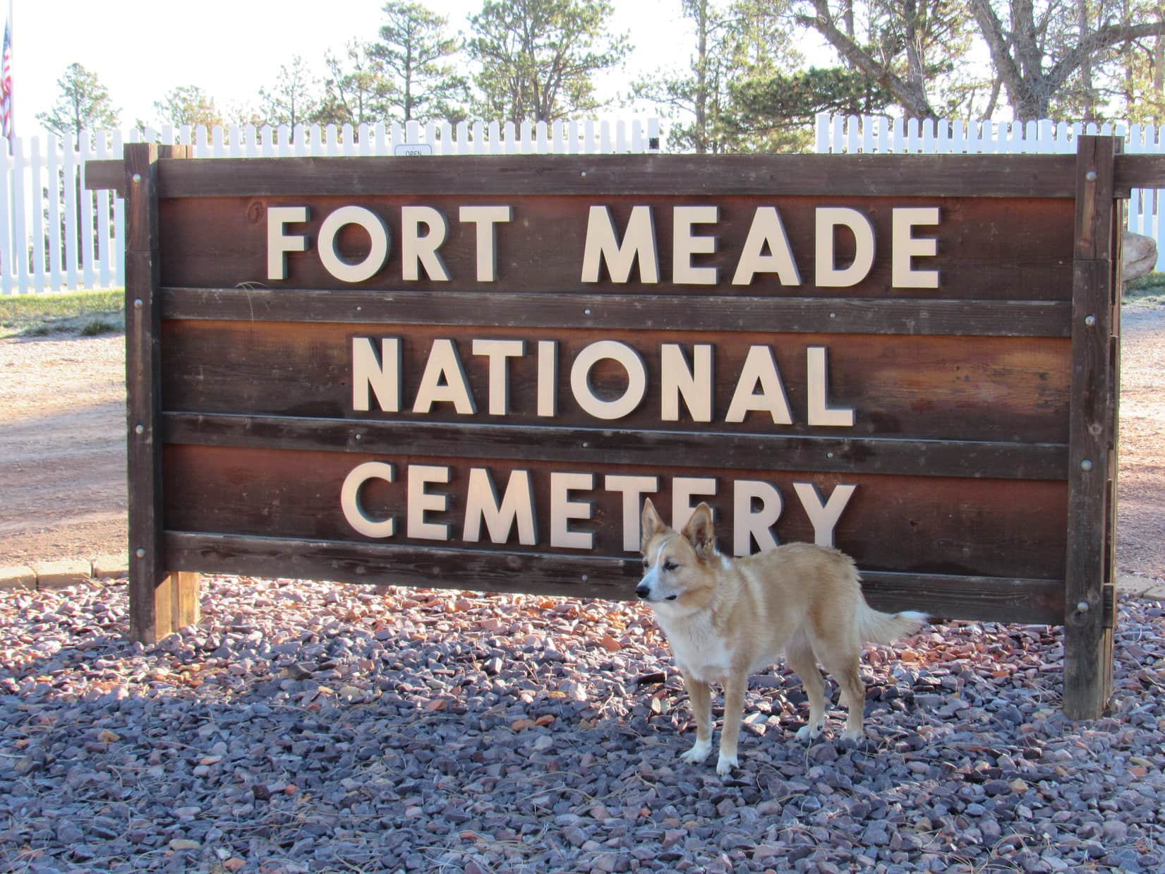
Start – Fort Meade National Cemetery near Sturgis, 8:46 AM, 35°F
Lupe arrived at Fort Meade National Cemetery the day after Veteran’s Day. The cemetery was officially closed this time of year. Loop wouldn’t have gone in even if it wasn’t. Some might consider an American Dingo prancing around a cemetery disrespectful, even though she wouldn’t have done any harm.
Lupe was actually here to visit a few peaks near Sturgis she’d never been to before. Once SPHP was ready, she crossed the road W of the cemetery, and started climbing along a ridgeline through a pine forest. She didn’t have far to go before reaching a broad meadow of tall grass.

In the meadow, Loop happened upon a dirt road that curved SW. She followed it higher back up into the forest. A huge dead tree had fallen over the road, blocking it completely. From the trunk of the dead tree, Lupe could see Bear Butte (4,422 ft.) off to the NE rising dramatically from the surrounding prairie.


The road climbed steadily through the forest. Before long, though, the terrain began to level out. The forest became more open and park-like, and the road curved NW.
Off to the SW, it looked like there might be views from the edge of the mountain. Lupe left the road to explore in that direction. Several deer fled as she approached the edge. Loop had a nice view of the valley S of Sturgis.

Peak 3950 was Lupe’s destination. The summit was only 0.5 mile NW from here. Lupe traveled NW near the sharp SW edge of the mountain. At first, the terrain was level or rolling. The American Dingo had her choice of staying in the pine forest or out on another tall grass meadow, and did some of both. Bear Butte was still in view from the meadow.

In the meadow, Loop came upon the road again. She followed it NW back into the forest, gaining elevation at a moderate pace. Lupe stayed on the road until she was close to Peak 3950’s summit. The final part of the climb was an easy romp through the woods.

Peak 3950’s summit area was large and relatively level. The highest part was near the N end. No single point stood out as the exact location of the true summit, but Lupe was satisfied. Climbing Peak 3950 had been easy and fun.


At the top of Peak 3950, trees hid the views in most directions. However, along the edge of the steep W slope, Lupe found rock outcroppings from which she could see the town of Sturgis.


Lupe could also see her next two peakbagging objectives. Oyster Mountain and Sly Hill were both in sight to the NW.

Names, dates, and initials had been carved into the rocks Lupe was standing on. One rock S of the summit area even had a whole phrase carved into it.

Lupe lingered on Peak 3950 for a little while, but didn’t stay terribly long. She still had more peakbagging to do. After sniffing around some and enjoying the views, it was time to head back to the G6.

Once Loop made it back to the G6 (10:41 AM), SPHP drove into Sturgis looking for a way to Oyster Mountain or Sly Hill. A mile NW of town, a road went N over a saddle on the ridge connecting the two mountains. A mile beyond the saddle, SPHP parked the G6 again (11:10 AM, 49°F).
Lupe got out ready to climb Oyster Mountain’s NE ridge. At first, she was in a mixed oak and pine forest, but she didn’t have far to go before reaching a meadow. Bear Butte was once again in view.


Just like on Peak 3950, Lupe found a dirt road in the meadow which took her higher and back into the forest. Loop followed this road SW most of the way up Oyster Mountain’s NE ridge. Sometimes she had glimpses of views along the way, but usually there were too many trees to see much of anything.
The road eventually reached a saddle. Loop would start losing elevation if she stayed on the road, so she left it. She headed W, still climbing steadily.
Before long, the Carolina Dog arrived at the top of a small hill. Maybe this was Oyster Mountain’s summit? SPHP wasn’t certain. The topo map had been forgotten in the G6.

Lupe continued W from the small hill, and soon reached a slightly higher hill. A ridge nearly the same height was in view to the SW across a small valley. The valley drained toward a depression to the W.
SPHP remembered the topo map had shown a depression close to Oyster Mountain’s true summit. Loop ought to be able to find the summit by crossing the valley, then following the ridge on the other side.
So that’s what she did. When Lupe made it up onto the ridge, she could see I-90 in the valley below on the other side.

Lupe followed the ridge WNW. The terrain was nearly level for a little way, but soon Loop saw slightly higher ground ahead. The summit had to be over there.

Shortly before reaching the top of Oyster Mountain (4,040 ft.), Loop came to a sparsely forested sunny hillside. Snow was visible on Terry Peak (7,064 ft.) on the far horizon. Closer by, Lupe had a nice view of heavily forested Crook Mountain (4,930 ft.).

Oyster Mountain’s summit proved to be a relatively narrow, 150 foot long, flat ridge. Forest blocked any views. Minor rock outcroppings that didn’t amount to much were on the S side near the far W end.


Loopster took her only Taste of the Wild break of the day up on Oyster Mountain. The shady summit ridge was a pleasant place. Traffic noise from I-90 only partially marred the sense of isolation.
On the way back to the G6, Lupe stopped by the sunny slope E of the summit again for a final look. She then left the ridgeline, cutting down to the depression in the small valley. The depression was bone dry now, but looked like a seasonal pond forms here during wet periods.


After leaving the depression, the American Dingo retraced her route up all the rest of the way down. Lupe had fun running and sniffing around, but it was only 1.25 miles back to the G6. It didn’t take her all that long to get there. (1:09 PM)
Loop still had one more peak to climb near Sturgis. SPHP drove to the saddle between Oyster Mountain and Sly Hill, parking near a fence surrounding a “rubble site” (1:16 PM, 52°F). A sign nearby indicated Dingoes might not be entirely welcome on Sly Hill, the top of which was only 0.5 mile to the SE. Hmmm.
American Dingoes can be quite foxy, and the name of her objective was Sly Hill, after all. Lupe wouldn’t hurt a thing. Off she went, slinking through the forest. It didn’t take her long to reach a wide flat meadow rimmed with pines. The topo map showed this area as the true summit of Sly Hill (3,920 ft.).


The topo map showed another high point on Sly Hill only 0.25 mile to the SE. High Point 3917 was supposed to be almost as high as the official summit. Maybe Lupe should go on over there to check it out while she was still in the area? It seemed like the thing to do.
Off Lupe went. She lost a bit of elevation exploring a narrower part of the ridge that forms Sly Hill. Soon Loop was approaching High Point 3917, a far smaller area that came to much more of a definite peak than the official summit. She caught a glimpse of Bear Butte as she began the short climb.


Climbing High Point 3917 was easy. Lupe got up on the top rocks at the foot of a big pine tree. Up until now, SPHP hadn’t been totally certain where Lupe was on Sly Hill, but the views from here confirmed her position. Parts of Sturgis could be seen, though trees obscured some of the town.


Lupe’s exploration of Sly Hill was now complete, except for one thing. On the way to the official summit shown on the topo map, Lupe had passed N of some high ground that seemed like it might actually have been higher than the official summit.
So Lupe returned to Sly Hill’s official summit, then proceeded W looking for the high ground she’d bypassed earlier. She climbed a heavily forested narrow ridge. The official summit could not be seen from here, but SPHP would have bet money that this high point to the W was actually the true summit of Sly Hill.

Lupe had done about all there was to do up on Sly Hill. The Carolina Dog left the W high point (and likely true summit) traveling NW along the ridgeline. This proved to be the most rugged terrain she’d come to on Sly Hill. She went by several interesting rock formations on the way down.


The Sly Dingo of Sly Hill made it back to the G6 without incident (2:34 PM). At least a couple of hours of daylight remained. With visions of Lupe making one more peakbagging attempt at yet another modest, seldom-visited hill, SPHP drove Lupe to the Whitewood area. She even got close to Spearfish. However, she had no luck at any other hills or mountains.
So Sly Hill was Lupe’s final peakbagging success of Expedition No. 215. That didn’t bother the Carolina Dog at all. She didn’t mind riding around barking at deer, cattle and horses at all! She had a blast the whole time, yipping and yapping until it was way too dark to see.

Links:
Next Black Hills Expedition Prior Black Hills Expedition
Want more Lupe adventures? Check out her Black Hills, SD & WY Expeditions Adventure Index, Master Adventure Index, or subscribe free to new Lupe adventures!