
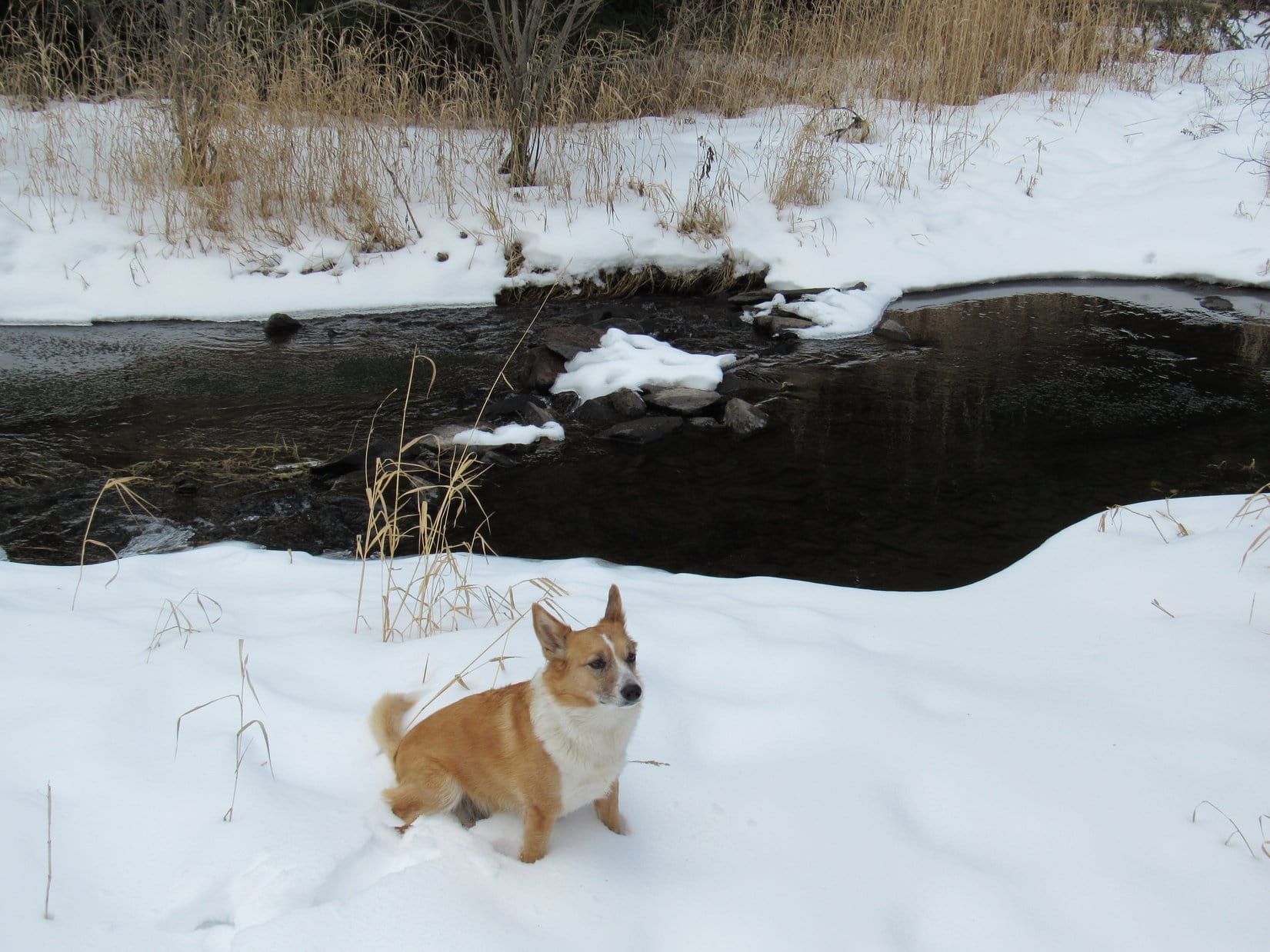
SPHP had been expecting it, but hoping it wouldn’t happen. Naturally, it did. Lupe and SPHP had already successfully crossed South Boxelder Creek at least 5 times. This time the creek was too wide. There wasn’t any way SPHP could get across here, other than to wade the creek. Nope, not doing that – not in January!
With the stream blocking the way forward, Lupe and SPHP couldn’t go any farther up the canyon. Getting to Crystal Mountain (5,680 ft.) really was going to be an adventure now. The question was, how hard would it be for Lupe and SPHP to climb up out of the canyon? The canyon walls weren’t cliffs, but they looked pretty steep, maybe too steep. Lupe and SPHP started backtracking downstream along the trail. There was a place not too far back that might work.
Lupe’s day had gotten off to a good start. SPHP had parked the G6 (8:46 AM, 32°F) at Boxelder Forks campground at the confluence of North and South Boxelder Creeks, about 3 miles (as the road goes) W of Nemo. From there, Lupe and SPHP had set off walking along the snow-packed access road beyond the campground. The road wound its way upstream past some nice cabins (one of which is for sale) in the South Boxelder Creek canyon.

When the road dead-ended, Lupe and SPHP had continued on upstream following a single track trail. Almost right away, SPHP knew there was going to be trouble. The trail crossed South Boxelder Creek almost as soon as it left the road. There wasn’t any bridge, but since the creek was frozen over there, Lupe and SPHP had been able to cross without difficulty.

Lupe’s primary peakbagging goal for the day was Crystal Mountain, situated on the N side of South Boxelder Creek canyon, about 2.5 miles W of the campground as the crow flies. To get there, SPHP had planned for Lupe to follow South Boxelder Creek upstream a little over 1.5 miles, and then take a logging road up a side valley to the N. From there she could work her way over to Crystal Mountain.
No bridge over the creek at the very first crossing had been a red flag. South Boxelder Creek isn’t very big, but it’s too big to jump over most places and deep enough to get feet soaking wet. If the creek had to be crossed too many times, sooner or later, there wouldn’t be a way across.
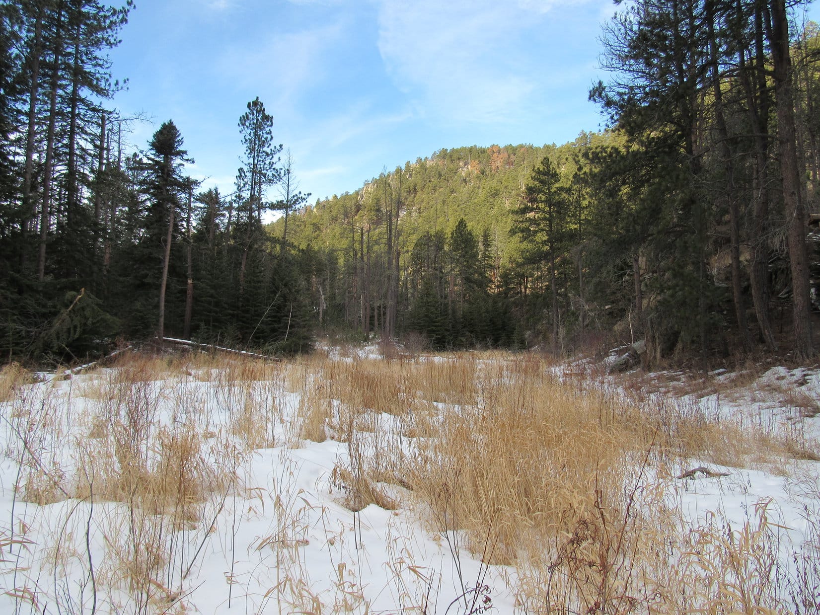
The trail went through a very pretty forest. Lupe was having a wonderful time sniffing around and exploring. Unfortunately, the trail repeatedly crossed the creek. Each time there had been a way across – thick ice, a downed tree, stepping stones, something. And then finally, inevitably really, came the time when there wasn’t.

Lupe was less than a mile upstream from where the trail started when she came to the place where SPHP couldn’t get across. She still had at least another 0.5 mile to go to get to the logging road where SPHP had intended for her to leave the canyon. SPHP checked the maps. According to the topo map, Lupe was in the narrowest, steepest part of the whole canyon. Just lovely!
Give up and go back, or climb? Silly question. Lupe would at least try to climb up out of the canyon! There was probably a reasonable route somewhere. If not, then Lupe and SPHP would have to admit defeat from this approach. Lupe wasn’t defeated yet, though! Lupe and SPHP began to climb up the N slope of the canyon. At first it wasn’t too bad. Before long, Lupe made it up to a rock platform with a view.
SPHP could have backtracked a little farther down in the canyon and found a better spot to climb out, though. Lupe had started up following a spine of rock coming down from the N. As Lupe climbed, the rocks got bigger. Soon rock formations repeatedly blocked further advance along the spine. To the W were cliffs. SPHP sensibly chose to angle up along the E side of the spine, but this side of the spine was getting steeper, too.
Of course, an American Dingo wouldn’t have had any problem getting across the creek down below. And an American Dingo was having no problem wandering all over the steep side of the canyon. Lupe was, in fact, having a great time. She kept appearing above SPHP, looking down to see what was the matter.
Being human was the matter. As the side of the canyon got steeper, SPHP tried to stay near the spine of rock. At least the rocks provided some handholds and footholds. Slowly, slowly SPHP was gaining elevation using rocks, trees, bushes, whatever there was for support. Little patches of snow here and there didn’t make things any easier.
Lupe had 4 paws powering her up the side of the canyon. SPHP mimicked her and crawled when necessary. Crawling isn’t very fast under the best of circumstances. Lupe cheerily sprinted this way and that to show SPHP how to use 4 limbs to advantage. SPHP was a dang slow learner.

Over and over again, it looked like it was just another 10 or 20 feet higher to where SPHP could get back up on the ridge where the terrain wasn’t so steep. Each time, after gaining the 10 or 20 feet and more, the situation looked the same. Now and then, SPHP had to retreat. Some places were just too steep, or snow was in the way making it too slippery. Each time, SPHP found a way around lower down, and then made another assault up the slope.
Fortunately, Lupe lives in the Black Hills of South Dakota, not the Himalayas. There is a reasonable limit to how much elevation one must gain to reach the top of even the largest mountains around here. Nearing the top of the canyon, SPHP finally made it back up on the ridgeline. Whew! No more clinging and crawling. It was January, but SPHP was sweating. It felt good to just walk upright again.
If Lupe felt any different, she didn’t show it. She’d had a great time climbing out of the canyon. Lupe and SPHP continued on up a much gentler slope. The first order of business now was to find a high point where SPHP could figure out where Lupe was.
Lupe came to an area near the top of a hill where loggers had really thinned out the forest. The place was kind of a mess. The highest ground seemed to be a bit of a march off to the SW near the edge of the canyon again. Lupe and SPHP left the logged area to go over there.
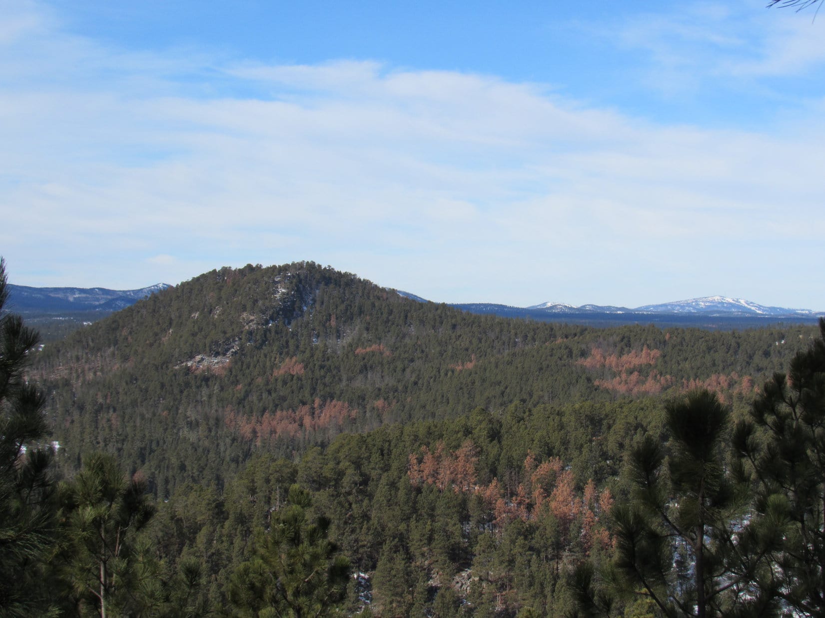
Along the way, Lupe and SPHP followed a ridge from which there were partial views off to the NW between the trees. Well beyond a fairly high forested hill, Custer Peak (6,804 ft.) and even more distant Terry Peak (7,064 ft.) could be seen. With snow on them, they both looked rather grand. Lupe visited a couple of high points along the ridge, and finally arrived at the highest spot of all at the SW end.
New problem. Or, perhaps just a restatement of the former problem. The question really wasn’t, where is Lupe? Lupe was right here. The real question was, where is Crystal Mountain? It seemed like Lupe and SPHP ought to be able to see it from up here. There was a high flat ridge off to the W, or maybe WSW, but was that it? It didn’t seem right. It looked too big, flat, and not quite high enough. Nothing else really stood out as a possibility, though.
Lupe and SPHP moved around a bit to another vantage point, but the view was to the S across South Boxelder Creek canyon. Pretty, but most definitely the wrong direction to look for Crystal Mountain. Time to take a break and review the maps. Lupe wasn’t hungry yet. SPHP munched an apple.
After devouring the apple, admiring the view to the S, and studying the maps, the exciting conclusion was that SPHP didn’t know where Crystal Mountain was. That big flat ridge Lupe had seen might be it, but still didn’t seem right. Lupe was just going to have to head NW. Crystal Mountain hadn’t moved. It was out there somewhere.
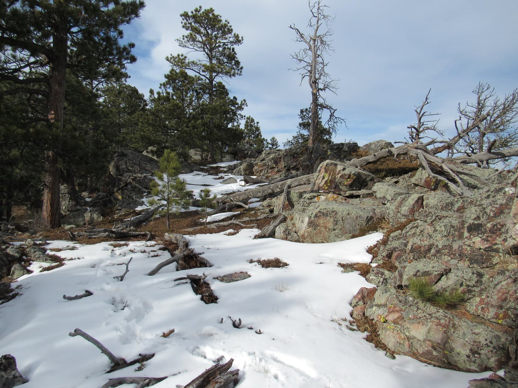
Going NW meant losing a lot of hard won elevation, but there was no way to avoid it. There was quite a bit of snow on the ground as Lupe and SPHP entered another section of recently logged mountainside and started down the slope. Custer Peak and Terry Peak were back in view. And so was that fairly high forested mountain in the foreground.
SPHP stopped. Earlier, SPHP hadn’t paid too much attention to it. It had seemed too far N. Maybe it wasn’t. The longer SPHP looked at it, the more obvious it seemed that the forested mountain had to be Crystal Mountain. Nothing else around was as high or shaped right. Lupe’s peakbagging goal was in sight! For some reason, it seemed like a thrilling discovery.
Lupe still had quite a trek ahead of her to get to Crystal Mountain. As Lupe went down the snowy slope, the mountain disappeared from view. Lupe lost over 300 feet of elevation, and then crossed a road a short distance S of a saddle between ridges. The road was the one SPHP had originally intended for Lupe to take up from South Boxelder Creek.
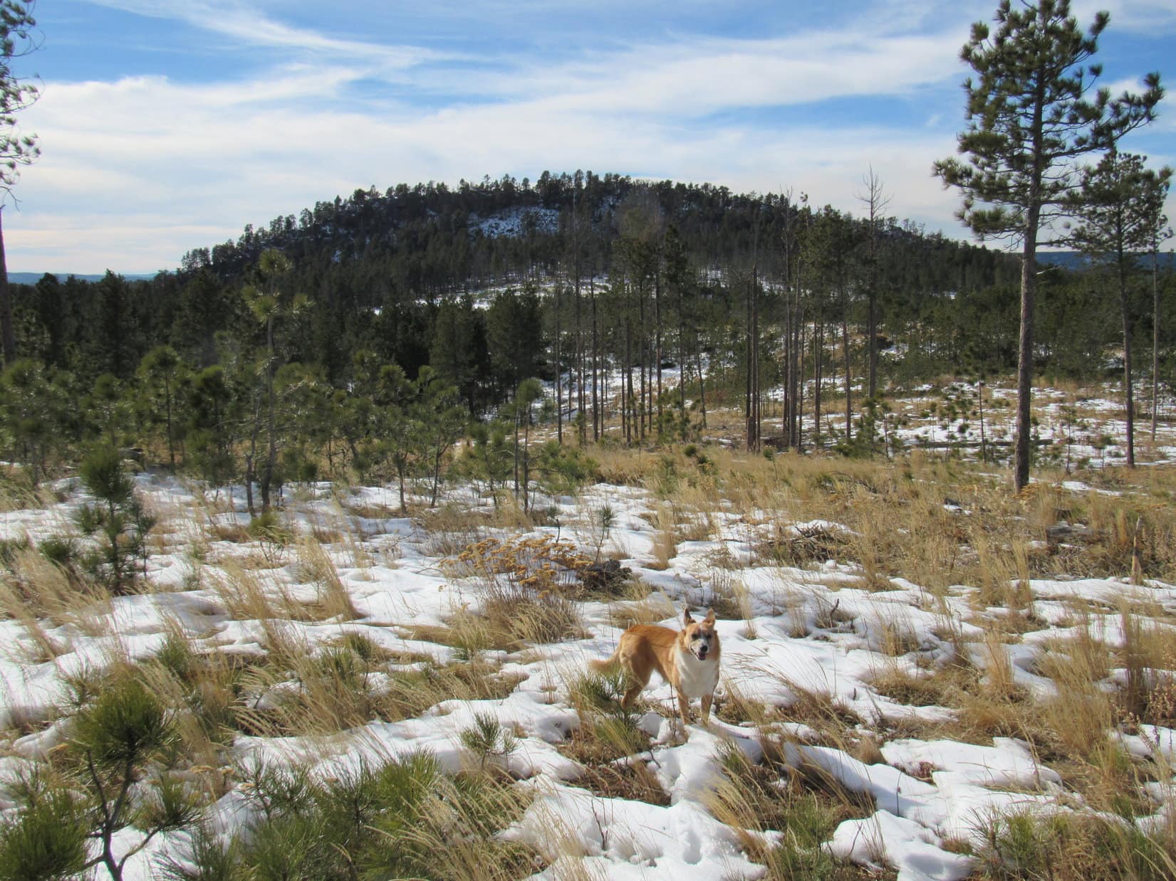
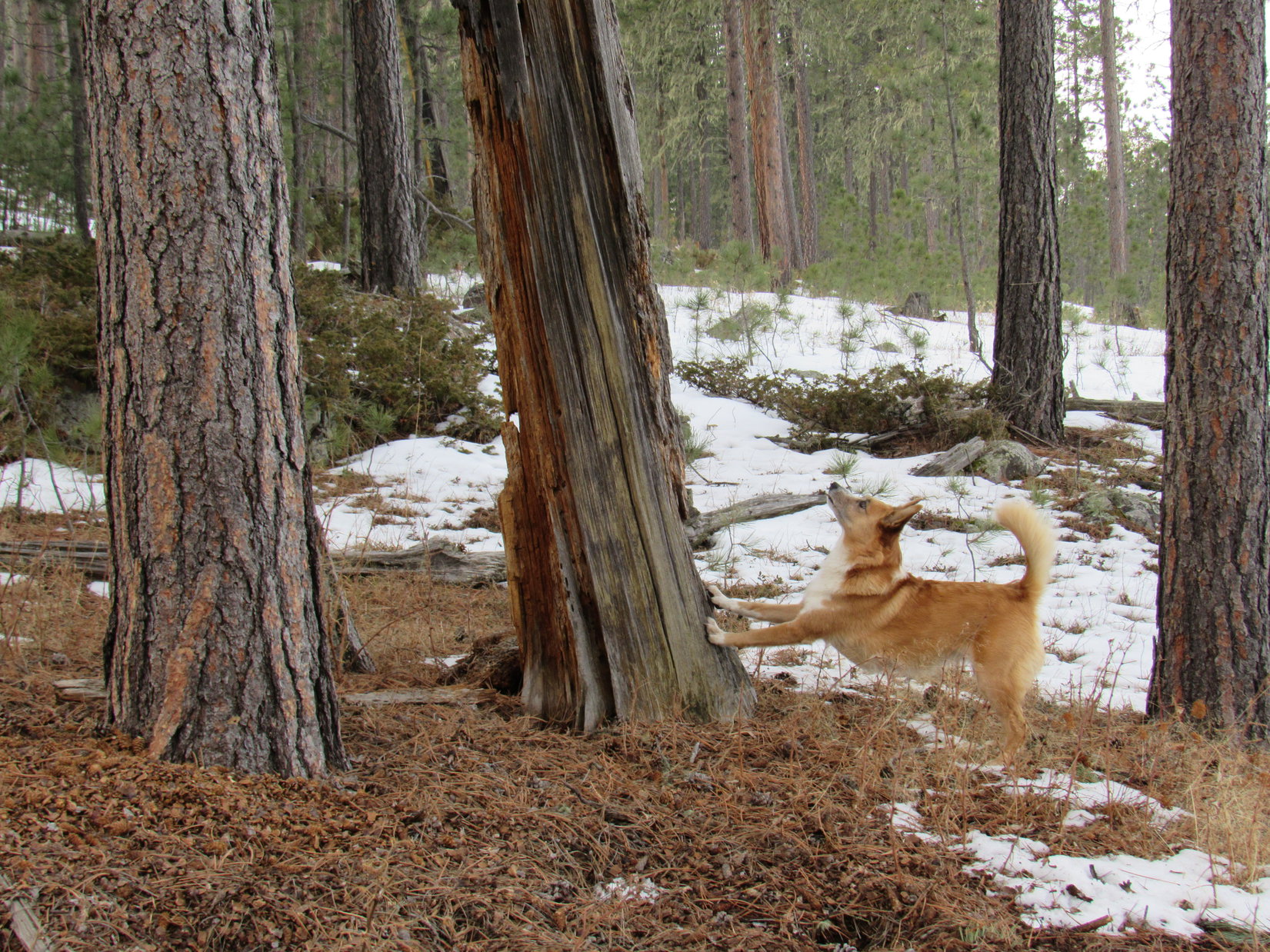
Lupe and SPHP climbed up onto the next ridge to the NW. The area was fairly heavily forested, so there weren’t any clear views of Crystal Mountain, but there were often glimpses of it between the trees. Lupe had a wonderful time following the ridge. She ran and ran. There were patches of snow to roll in, and lots of scents to follow. There was a lot of up and down along the way, but no serious elevation changes.
The ridge started off heading N, but slowly swept around to the NW and then W. By the time Lupe was close to Crystal Mountain, she was approaching it from the NE. Lupe finally reached an open field where there was a clear view of Crystal Mountain ahead. It wasn’t too far away now!
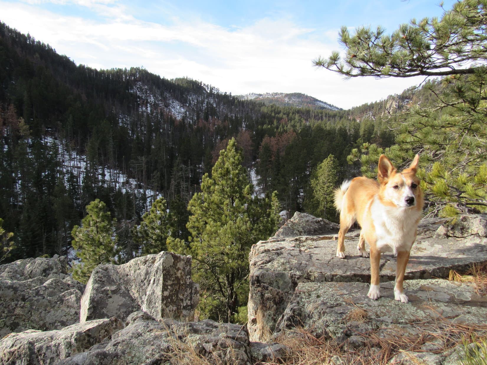
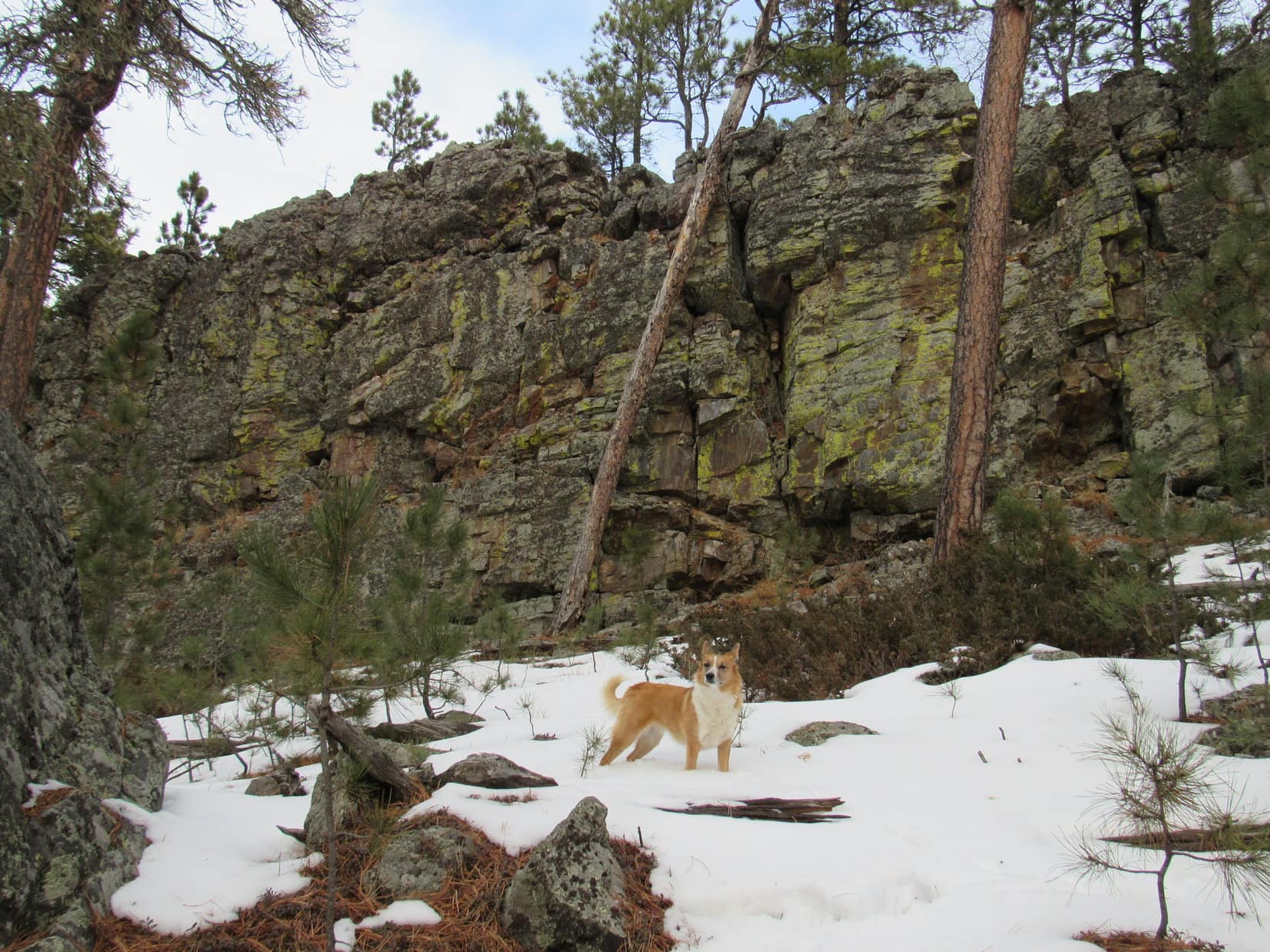
For a little while as Lupe headed directly toward Crystal Mountain, SPHP was worried she might not be able to climb it. The mountain looked very rocky. Big rock walls could be seen up along the top of the ridgeline. There was quite a bit of snow on the NE side of the mountain. The last part of the way up looked steep.

As it turned out, the climb wasn’t bad at all. Climbing out of South Boxelder Creek canyon had been much tougher. Lupe reached the E summit ridge at an opening separating two huge rock formations. Fortunately this gap provided easy passage between them. Once beyond the rock formations, Lupe and SPHP could see there was another summit ridge farther W, too.
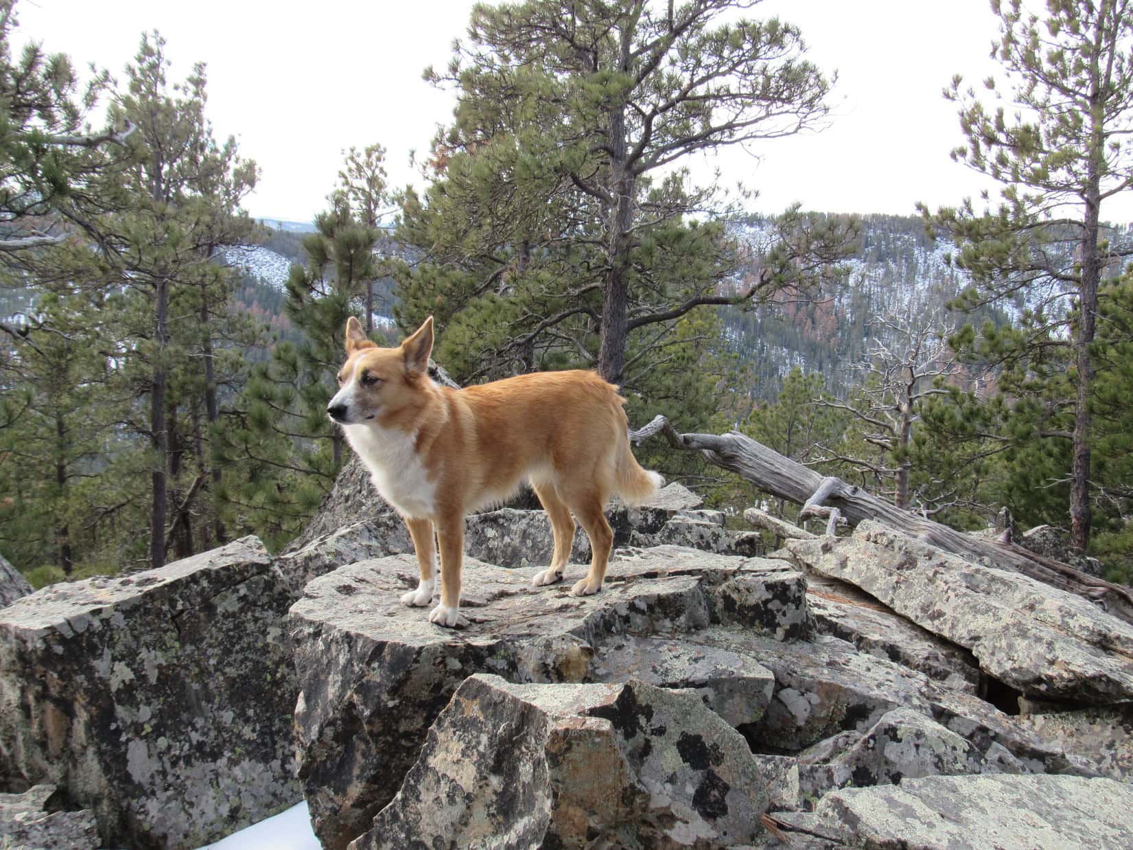
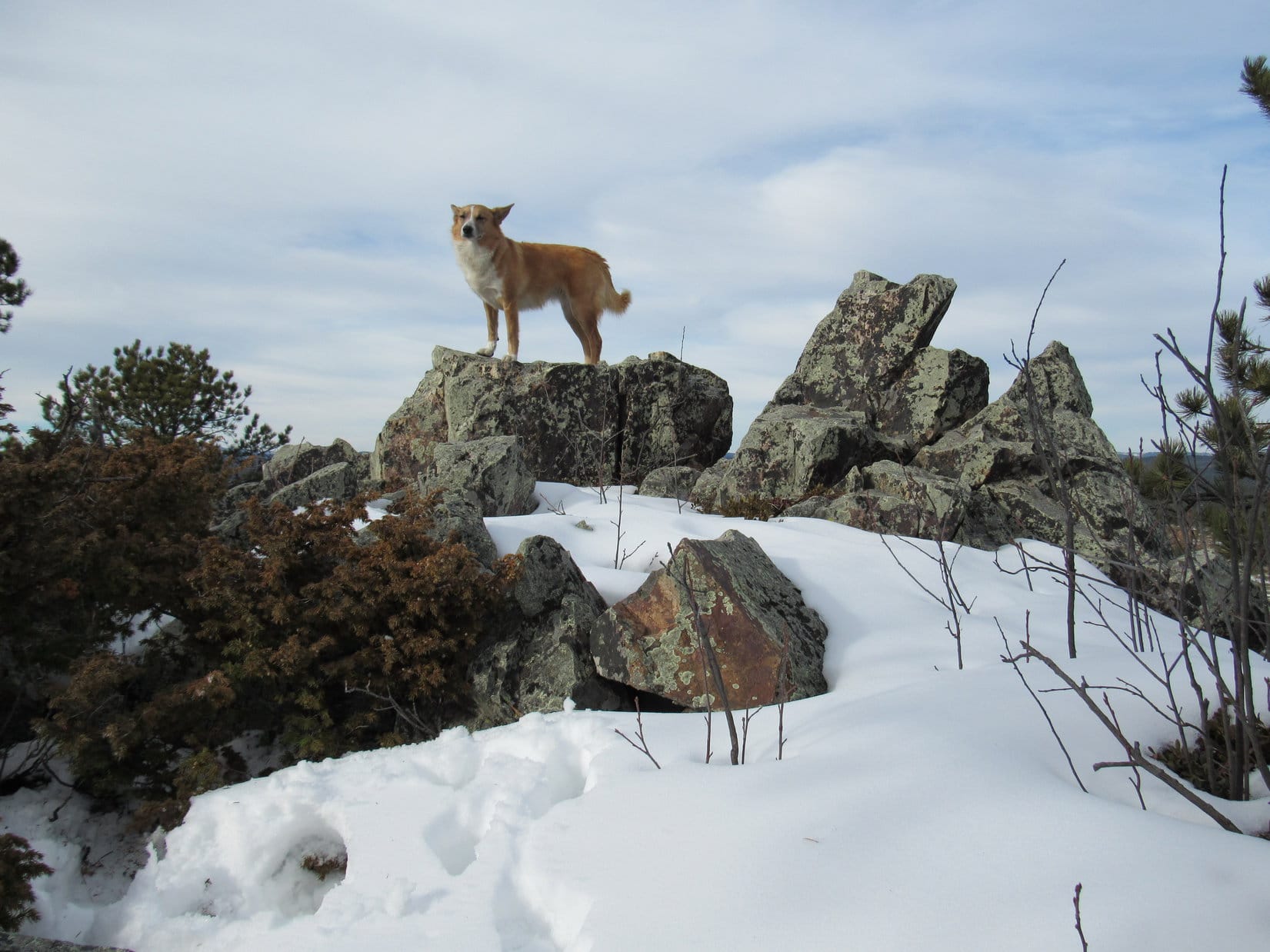
The top of Crystal Mountain was really interesting. The E summit ridge ran NW/SE and had some tall vertical rock walls. If not for the opening in the wall Lupe had climbed up to, it would have been very hard to scale the mountain from the NE. The rock formations were large and impressive. There were cliffs with overhanging rocks. Some of the rocks were quite colorful.
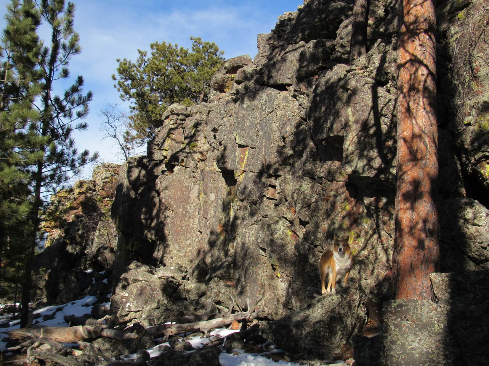

Lupe’s first task on Crystal Mountain was to explore the E ridge, where it seemed likely the true summit could be found. The highest rocks were to the SE of where Lupe came through the opening between rock formations, but how to get to up on top? A very high rock wall extending to the SE looked like it would be impossible for Lupe to climb. Almost as soon as Lupe started following it SE, though, she came to a break in the wall where there was an easy path to the top.

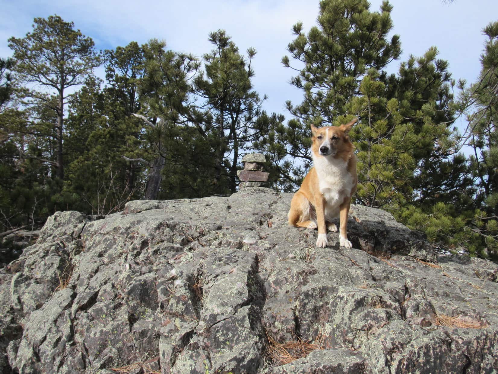
In practically no time at all, Lupe was on top of Crystal Mountain! Lupe agreed to pose for a couple of photos to commemorate her success. Lupe looked great, as usual, but the views were rather disappointing. There were a lot of trees around, including a fair number of big dead ones. When they eventually fall over, the views will improve. As it was, about the only distant view was a narrow one off to the S.
It seemed like it had been a long journey to Crystal Mountain. Break time! SPHP was surprised that Lupe still wasn’t hungry. She only ate a little Taste of the Wild. What she really wanted to do was curl up in the sun and doze. While Lupe relaxed, SPHP studied the topo maps again.


This first high point Lupe had reached wasn’t the only possible location of the true summit on Crystal Mountain. According to the topo map, the W ridge and a small area farther to the SE on the E ridge all reached the same contour. It was possible the true summit was over at one of those alternate locations. To really claim a 100% certain peakbagging success, Lupe would need to go check them out.
Pretty soon, Lupe was ready to go again. SPHP and Lupe went back down her path up to this place, and headed farther SE along the big rock wall. Soon, SPHP saw a cairn ahead sitting up on a big boulder. This was the 2nd possible location of the true summit along the E ridge. SPHP didn’t think it was quite as high as where Lupe had just been, but hoped there was a way to get up to the cairn. Continuing SE along the rock wall, Lupe very quickly arrived at a place where she could easily climb up.

The big boulder the SE cairn was on was at the very NW end of Lupe’s route up to it. Lupe got right up on the boulder next to the cairn without any problem. While SPHP doesn’t think this cairn is at the actual true summit, it’s possible it is. Due to the forest, the three highest points on the mountain can’t be seen from one another, making it hard to tell with certainty which high point is the true summit.
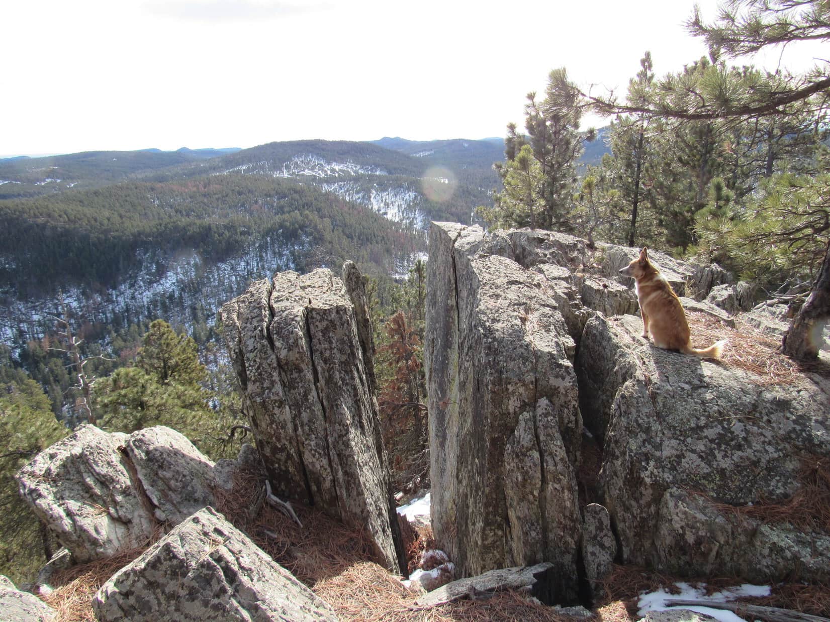
More interesting than the cairn was the sweeping panoramic view off to the E. Crystal Mountain is higher than anything else off in that direction, making it a great vantage point. Lupe could see Green Top (5,360 ft.) where she had been on Expedition No. 153 just 5 days earlier. Parts of White Mansion (5,340 ft.) were visible, too, but Green Top hid most of it. They were both so far away, they didn’t look too impressive from Crystal Mountain.
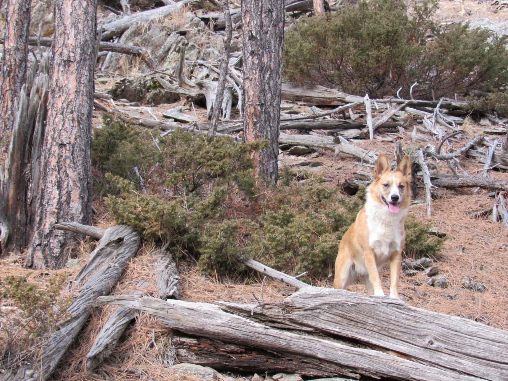
It was clear there weren’t any higher spots farther SE from the cairn, but the ridgeline was so interesting, Lupe and SPHP followed it all the way to the end. The rock formations along the way seemed unusual. To the NE was a cliff, but to the SW the rocks formed a couple of big terraces, with plenty of room to walk along each level.


After having a look at the views from the very SE end of the E ridge, it was time for Lupe to go check out the last possible location of the true summit of Crystal Mountain over at the W ridge. She journeyed NW back along the rock terraces, and turned W when the terrain allowed. Soon she was up on the W ridge.
The S end of the W ridge was much wider than the N end. The S end featured a clearing full of grass and small rocks where the ground sloped off toward the SW. There weren’t any views, since the clearing was pretty much surrounded by trees. The N end of the ridge looked much more interesting. It was much narrower and very rocky. At the highest point, a couple of rocks could be seen displayed against the sky.
There should be some great views from there! Lupe and SPHP headed for the promising high point of the W ridge.
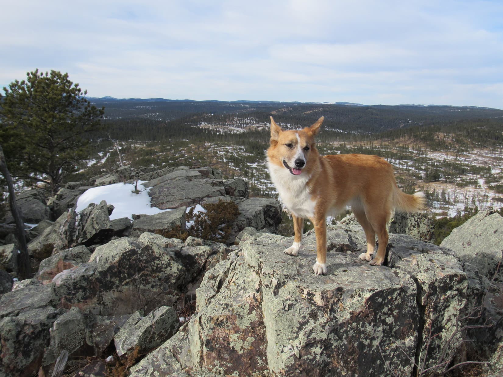
A big rock formation extended farther out to the NW beyond the highest rocks. The W summit certainly provided some big views to the N and NE. SPHP was a bit disappointed that a few poorly placed trees blocked Lupe’s view of Custer Peak to the NW. Lupe and SPHP climbed down onto the ledge to the NW, but never got a clear view of Custer Peak, though it might have been possible to gain one with more scrambling around.

Lupe had now been to all three possible locations of the true summit of Crystal Mountain. She could legitimately claim a peakbagging success. Crystal Mountain had been a lot of fun to explore, and Lupe had spent quite a bit of time up here. The position of the sun was now indicating Lupe’s time on Crystal Mountain should be drawing to a close.
Before leaving the mountain, Lupe and SPHP did a little more exploring among some of the dramatic rock formations NW of the gap in the E ridge where she had originally climbed up. Then it really was time to go.

Lupe and SPHP left Crystal Mountain the same way she came up. Most of Lupe’s journey back to the G6 was along the same general route she had taken to get to Crystal Mountain. But SPHP didn’t want to go back down the same steep rocky spine that Lupe had climbed coming out of South Boxelder Creek canyon. An alternate route down a valley farther E proved to be a little less steep, and significantly easier.
Down in the canyon, Lupe found herself far enough E so she only had to cross South Boxelder Creek twice to reach the road back to the G6. At 4:46 PM (44°F), Lupe was back at Boxelder Forks campground. Black Hills, SD Expedition No. 154 to Crystal Mountain had taken exactly 8 hours. SPHP noticed that it really wasn’t dark out yet. Not as dark as it would have been a month ago. Time goes by.
A Carolina Dog hopped in the G6 and looked at SPHP expectantly. “Yeah, time sure does go by. I haven’t eaten hardly a thing all day! Now, I’m famished! How about taking me home for some Alpo?”
Links:
Next Black Hills Expedition Prior Black Hills Expedition
Want more Lupe adventures? Choose from Lupe’s Black Hills Expeditions Adventure Index , Dingo Vacations Adventure Index, or Master Adventure Index. Or subscribe free to new Lupe adventures.