Black Hills, SD Expedition No. 305 – Cousin Laddie Pays a Visit (9-22-22 thru 9-25-22)

9-21-22, 8:00 PM – Shrill barking told the tale.  They were here!  Lupe was ecstatic, racing out the door to greet Uncle Joe, Aunt Andrea, and Cousin Laddie as soon as SPHP opened it.  Sadly, no Cousin Dusty ever again, but the Carolina Dog put on as enthusiastic a display as possible for those who had arrived.  Good times were sure to follow!

But what had happened to Cousin Laddie?  He looked strikingly different from the last time Lupe had seen him back in April.  Laddie’s luxurious long coat was gone!  Joe and Andrea explained that they’d had most of it shaved off to help Laddie stay cool this summer.  His coat was returning, but still had a considerable amount of growing out to do.  As Uncle Joe maintained, in the meantime, Laddie was part fuzzy caterpillar.

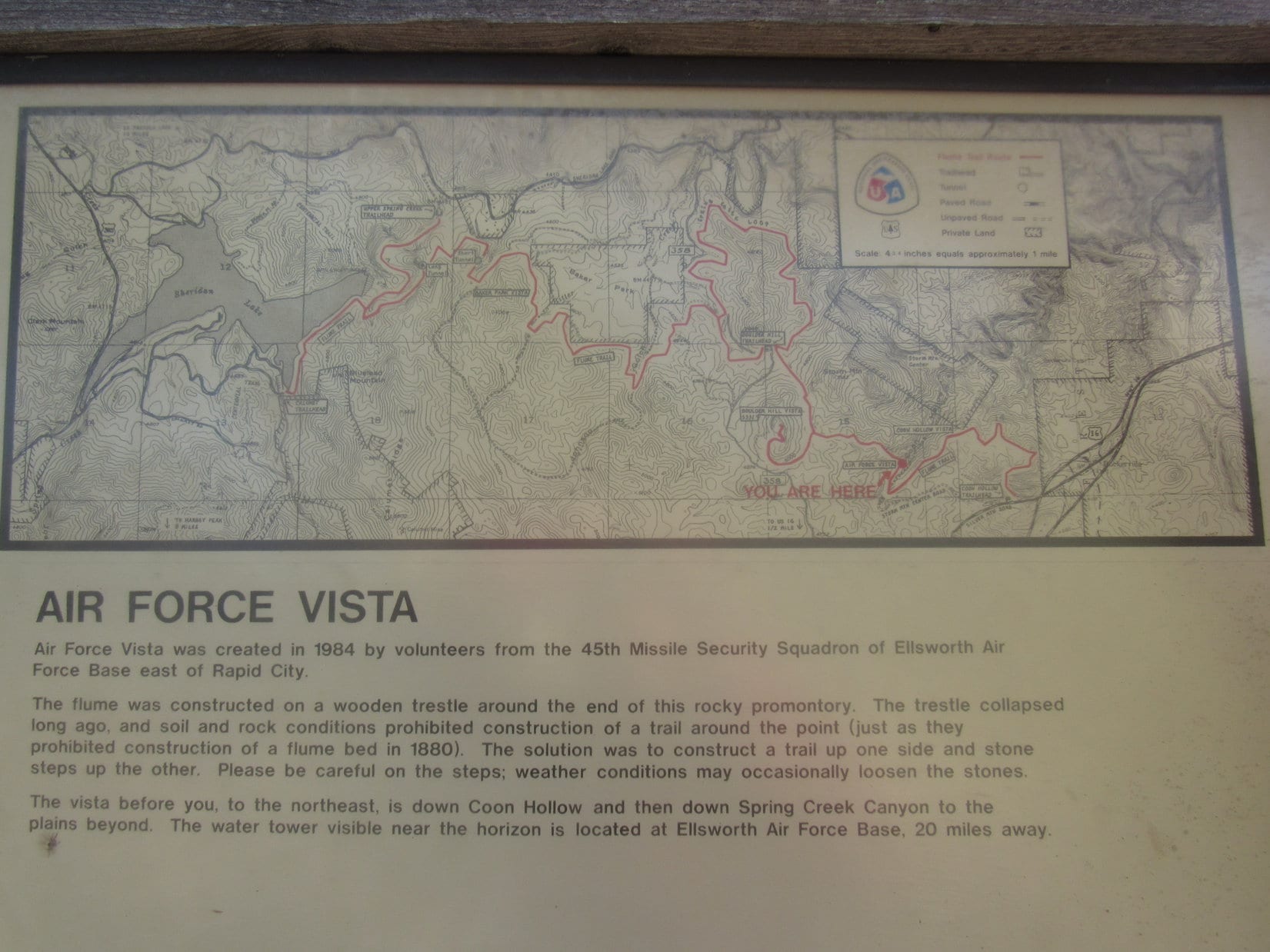
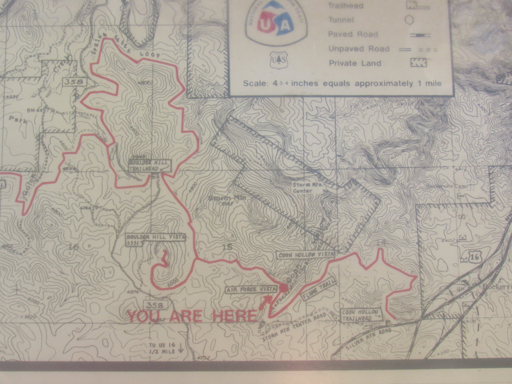
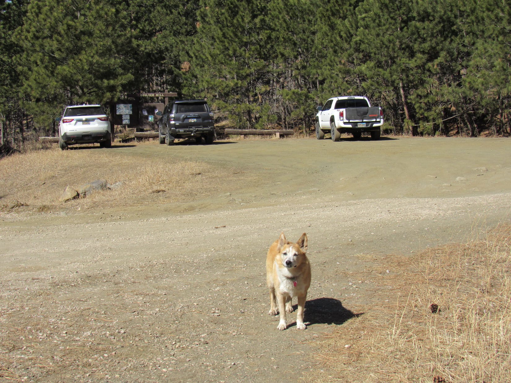
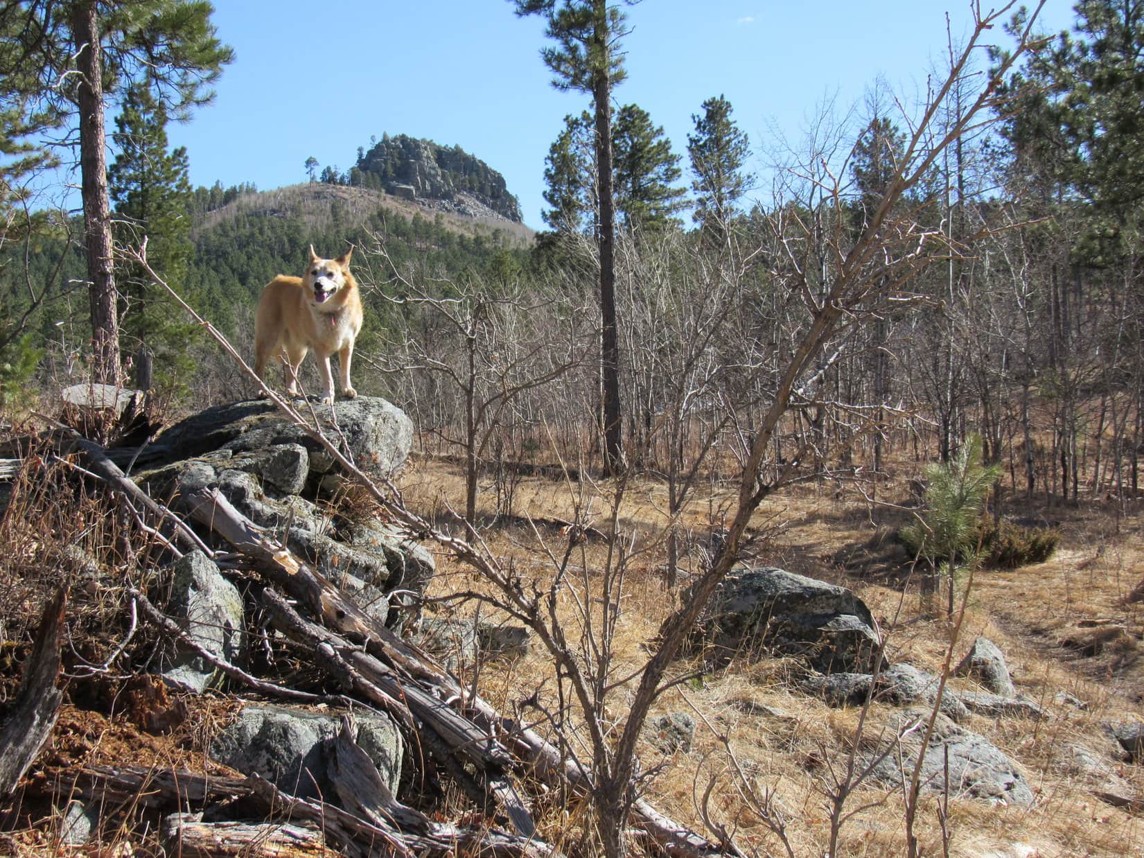
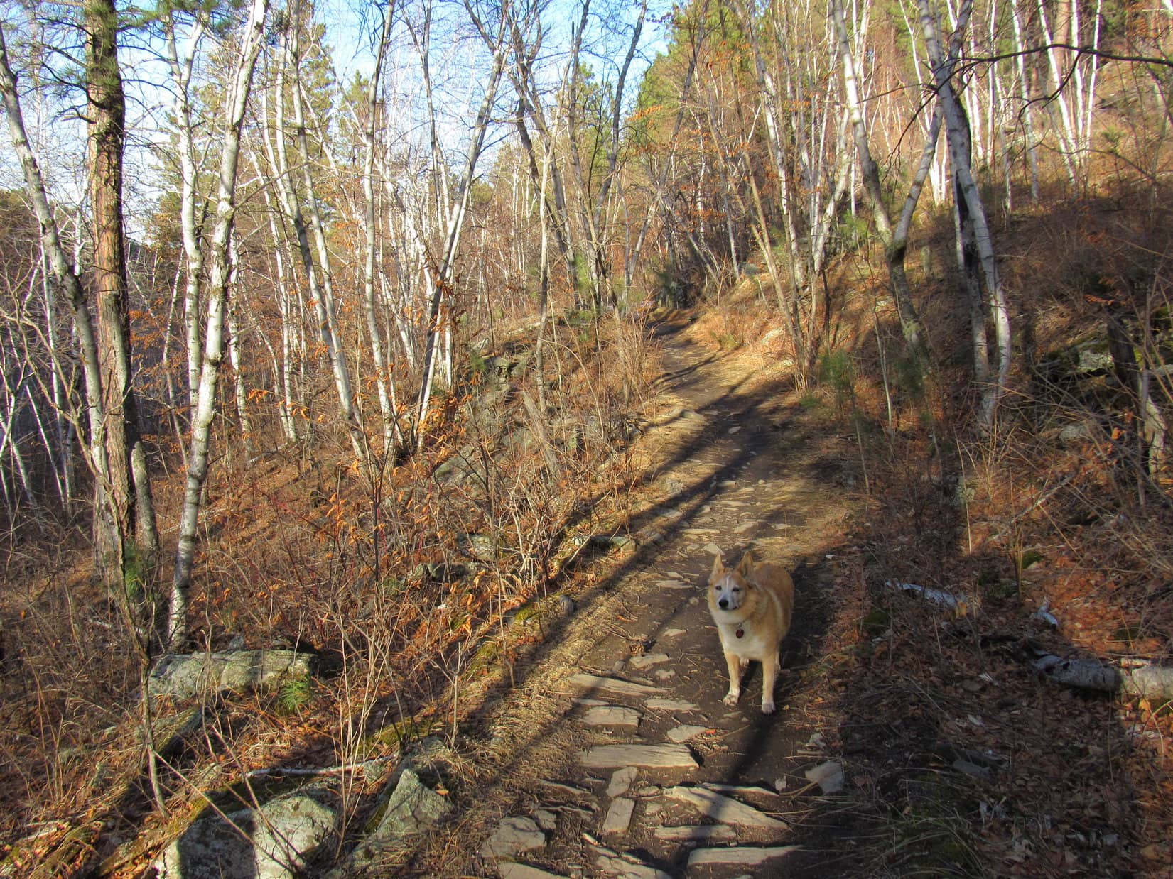
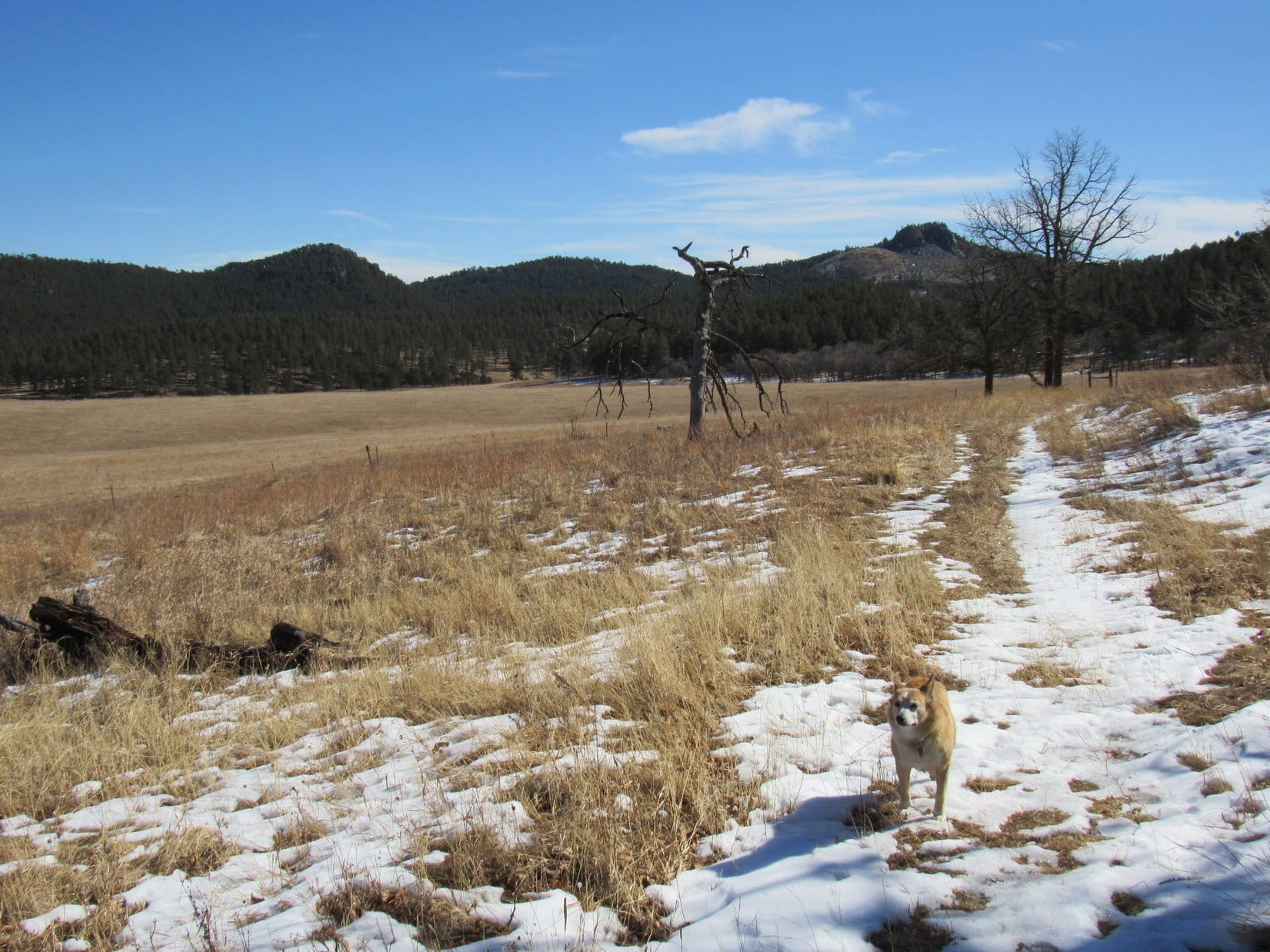
9-22-22 – It was already early afternoon by the time Uncle Joe parked the RAV4 at the high point of Boulder Hill Road on this unseasonably cool, gray day with low clouds spitting a few raindrops now and then.  Despite the weather, everyone was in good spirits on the way up the access road to the base of the mountain.

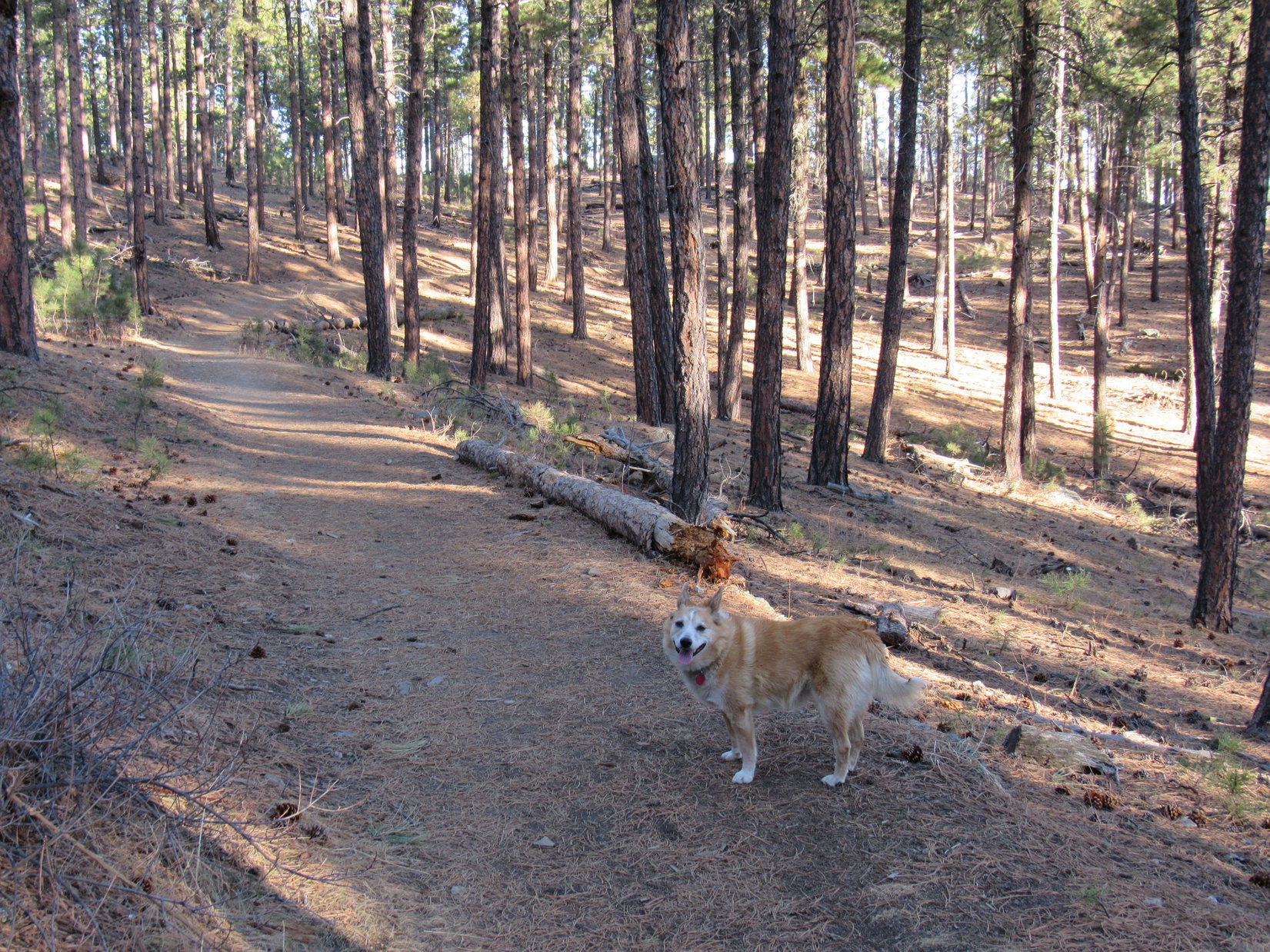
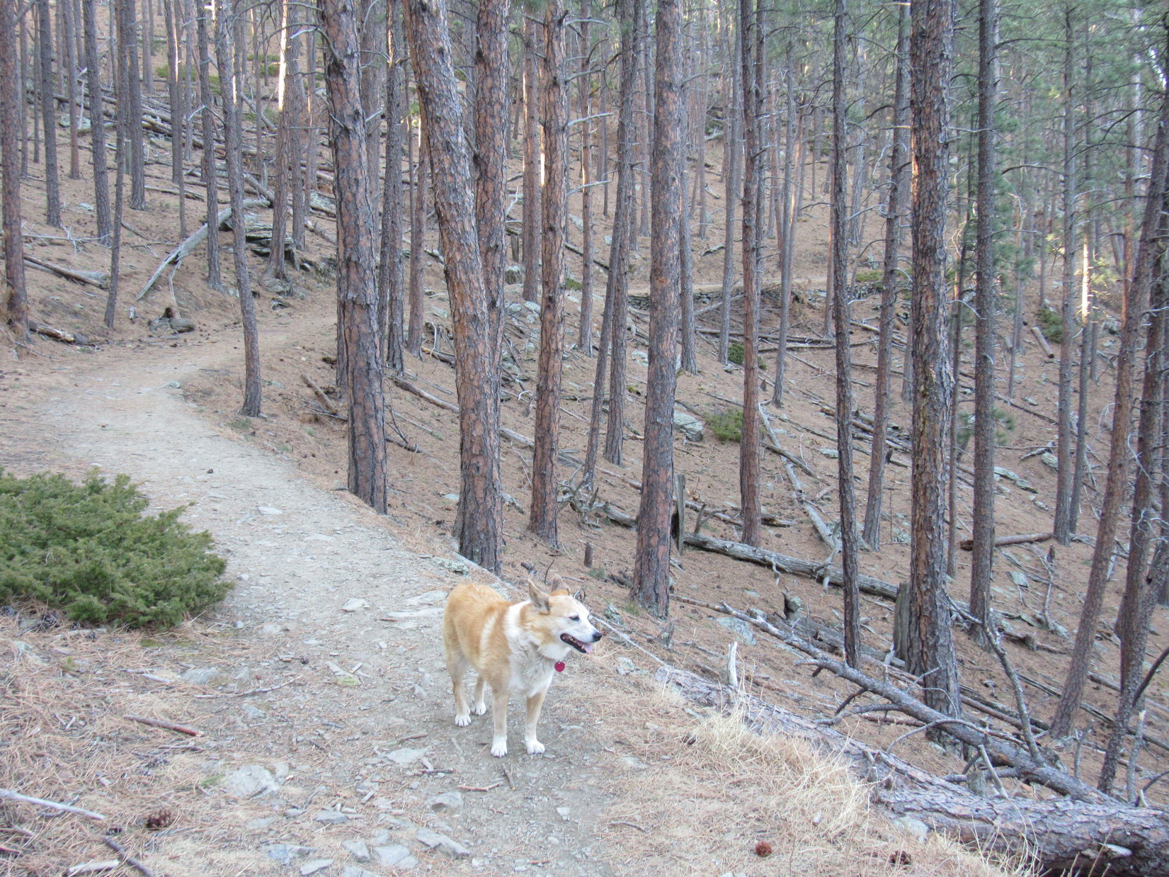
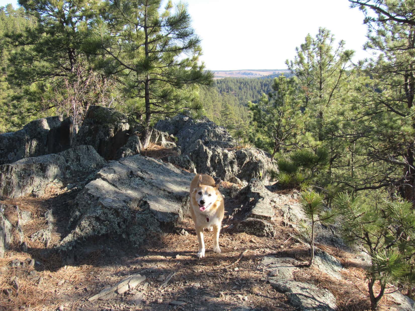
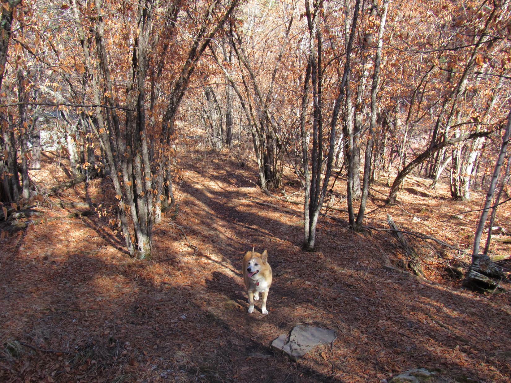
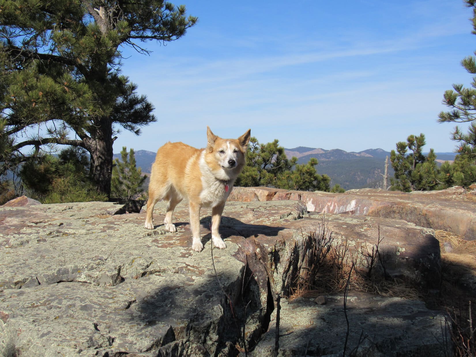
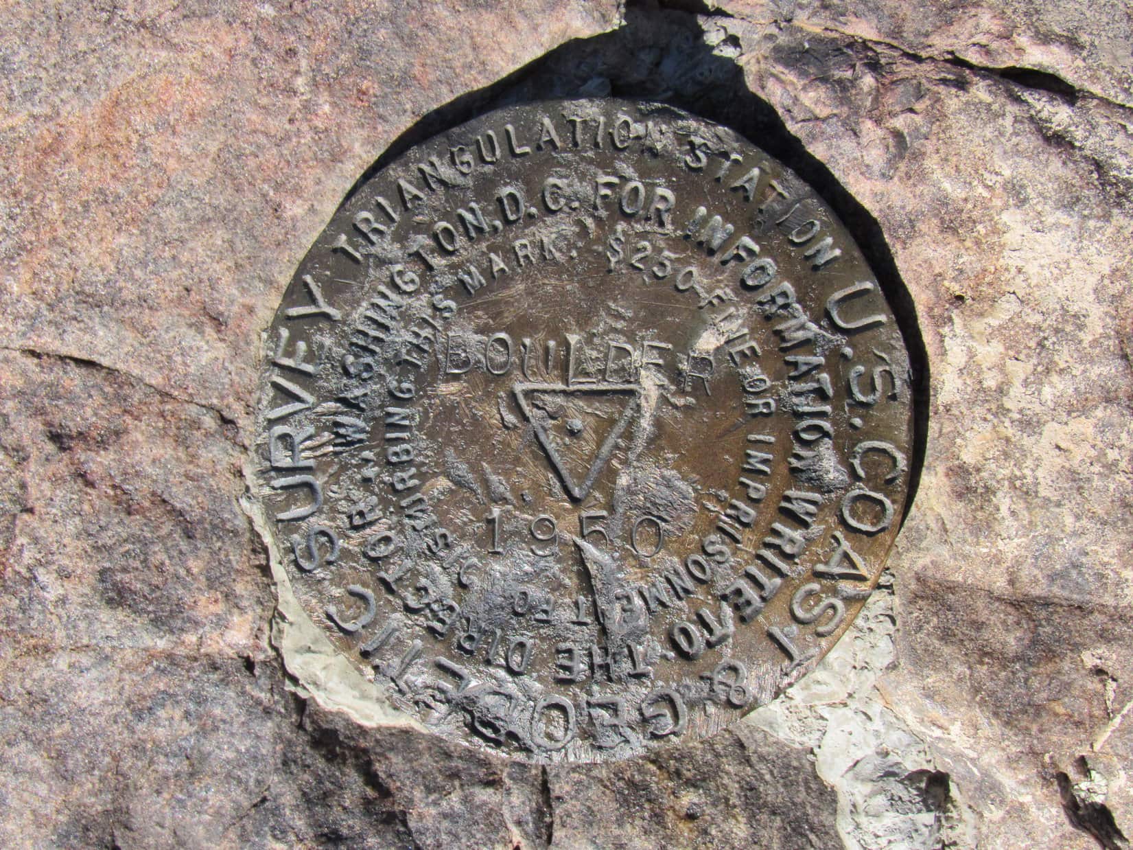
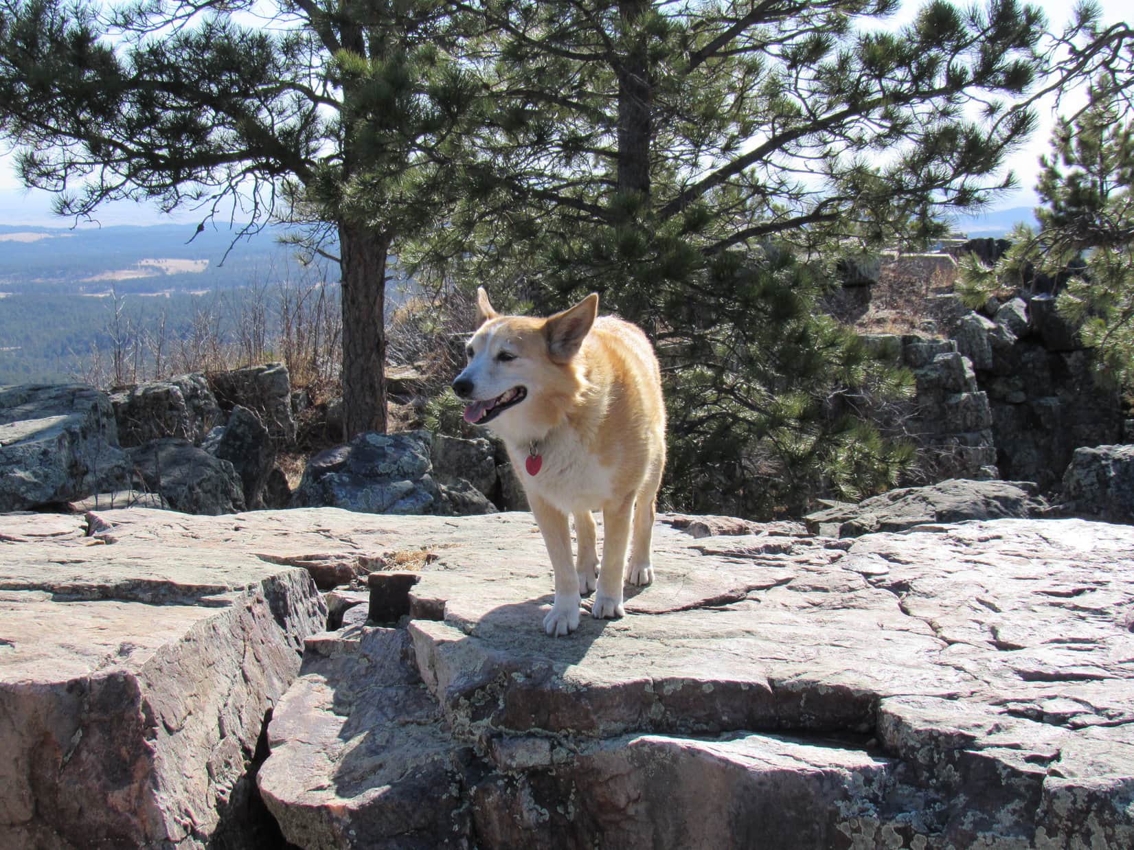
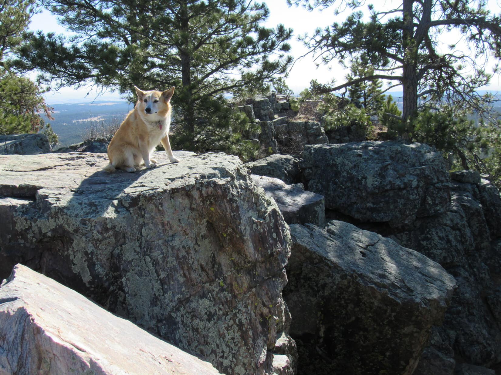
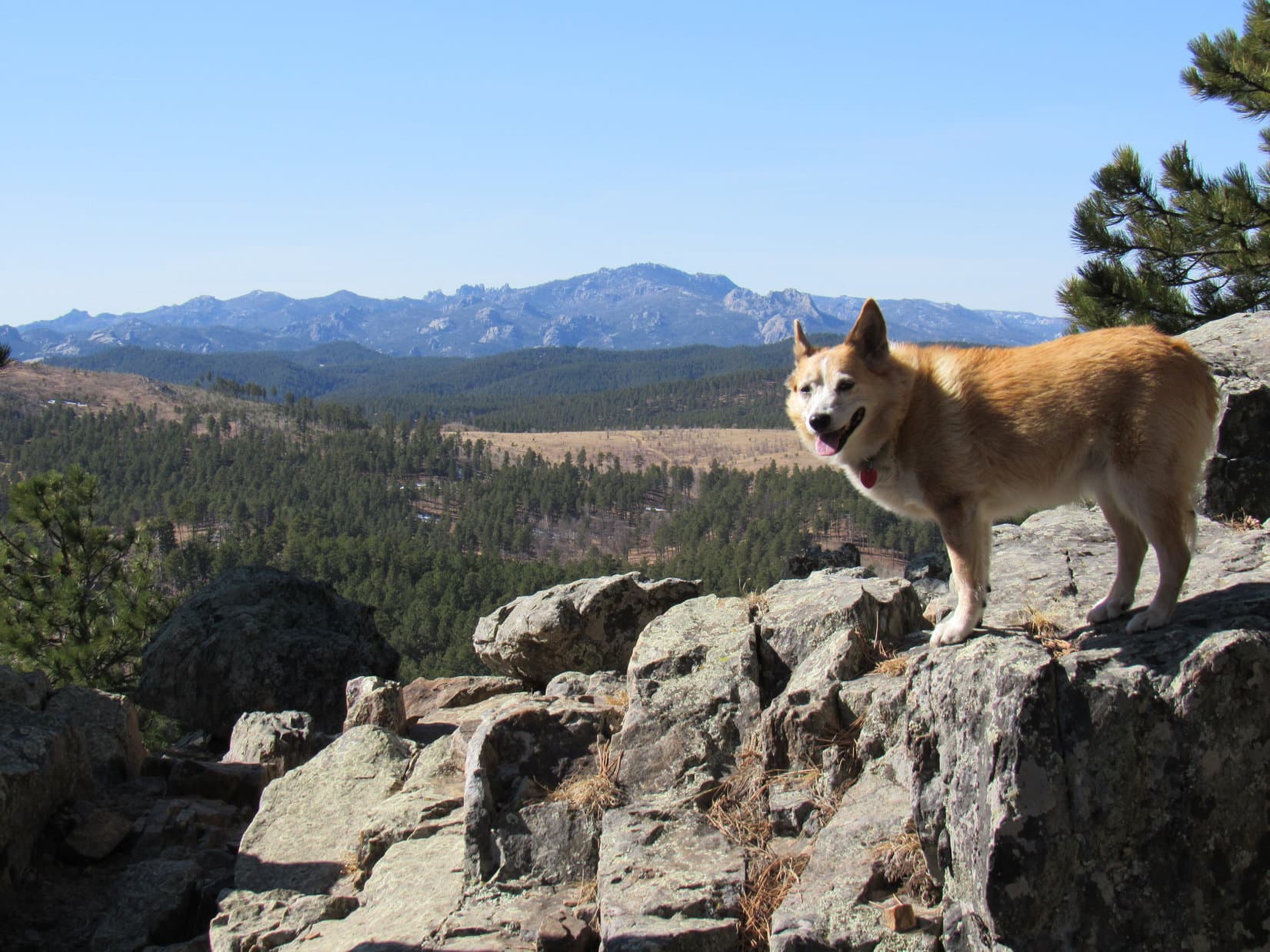
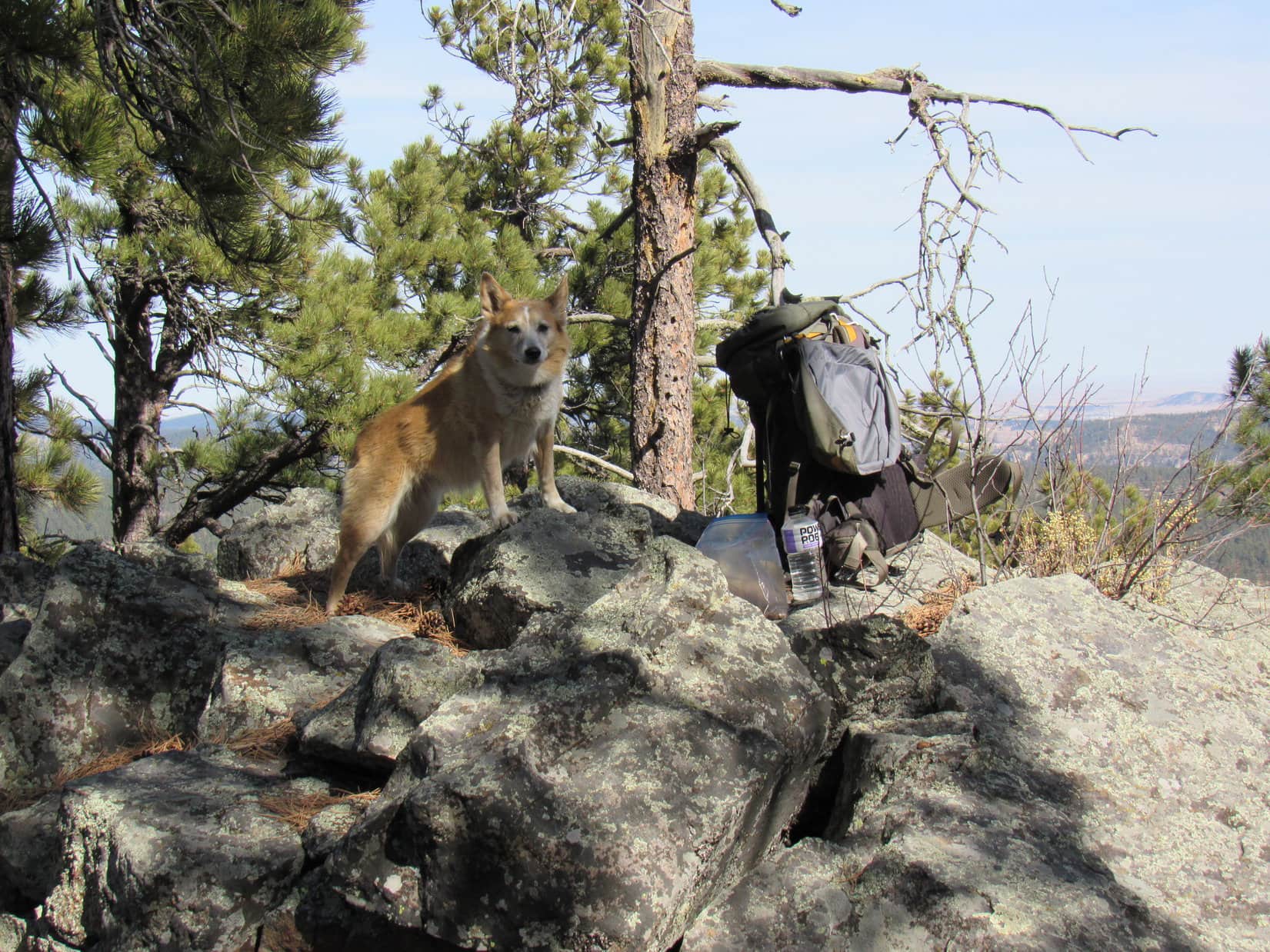
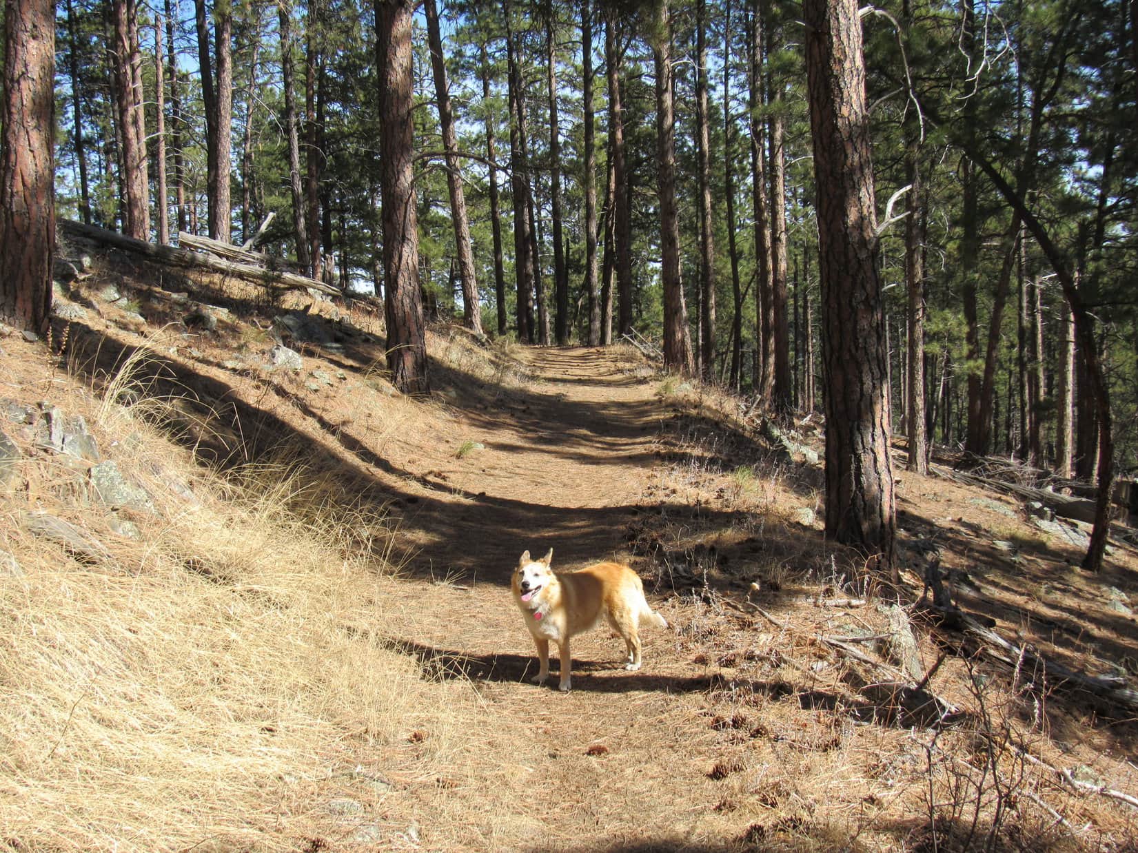
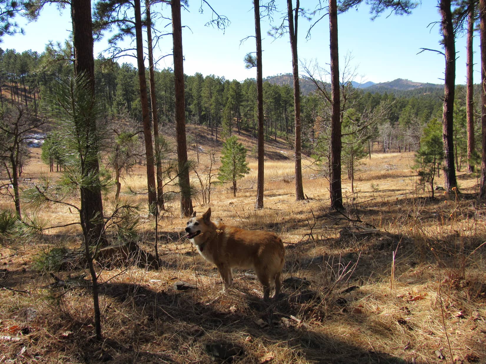
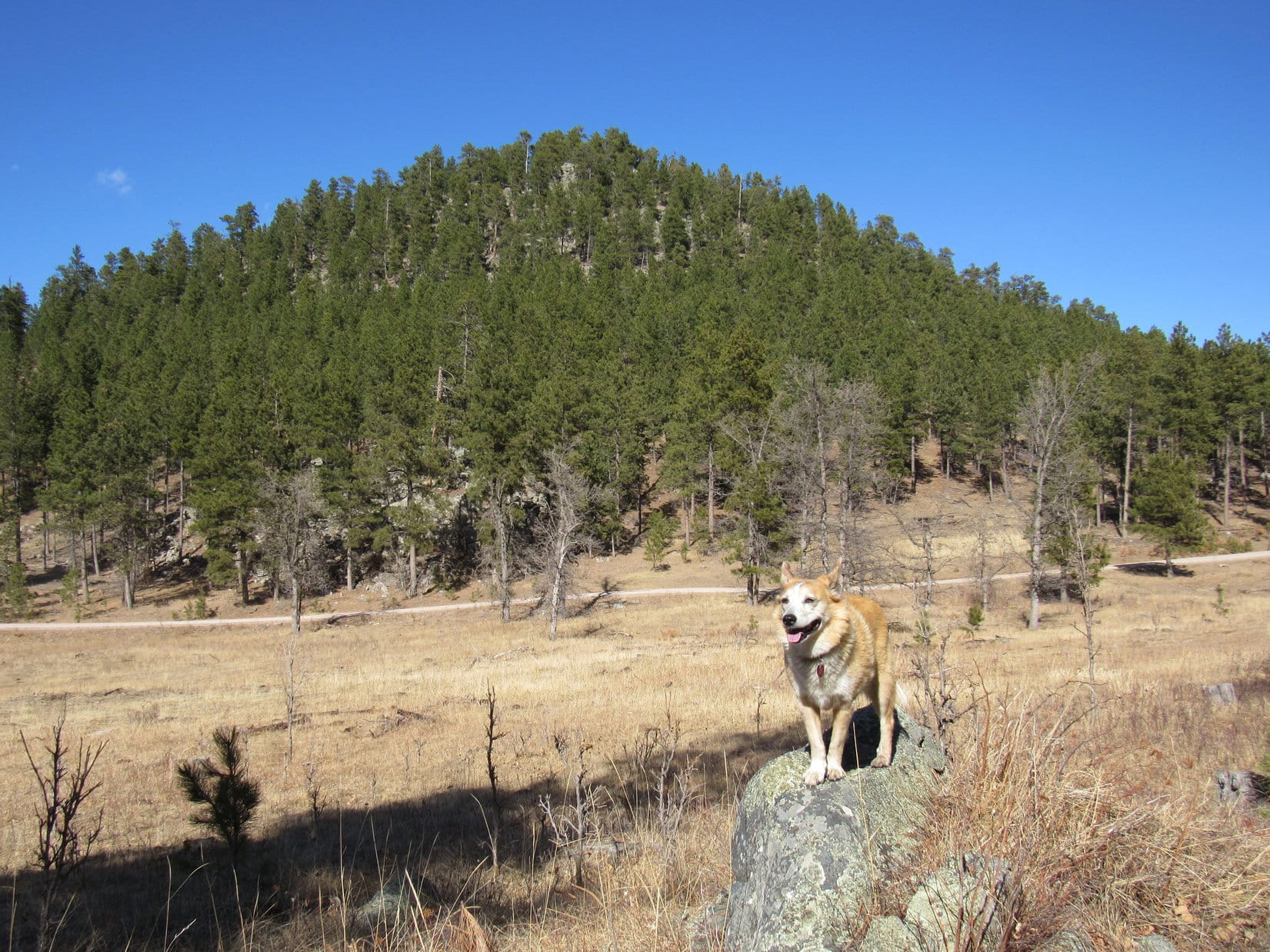
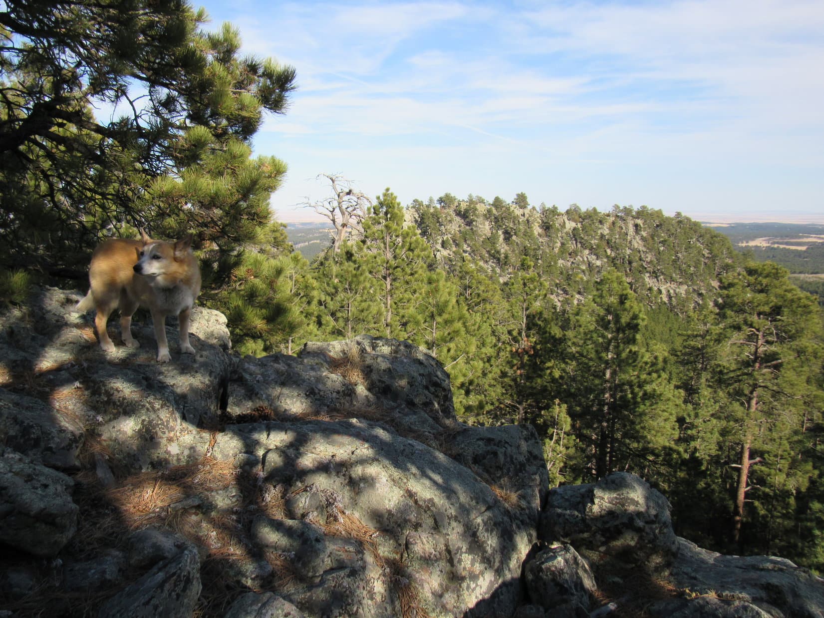
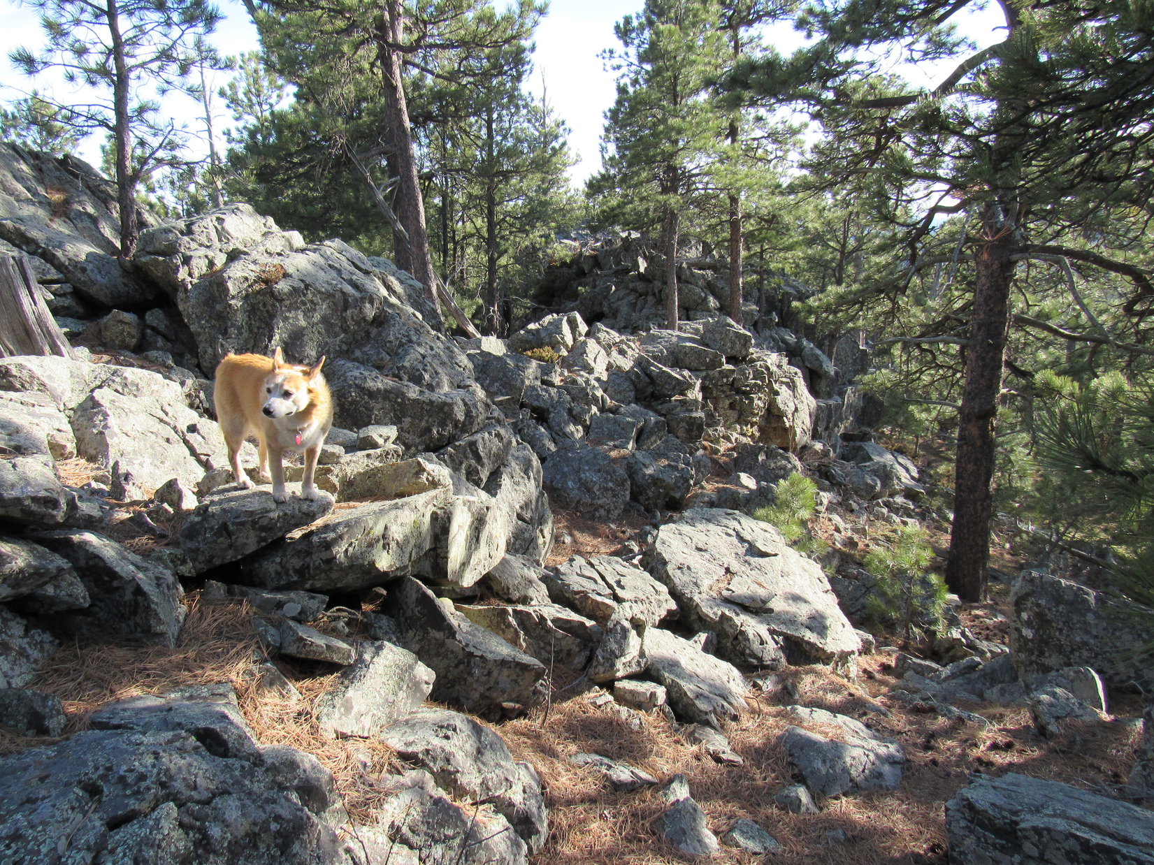
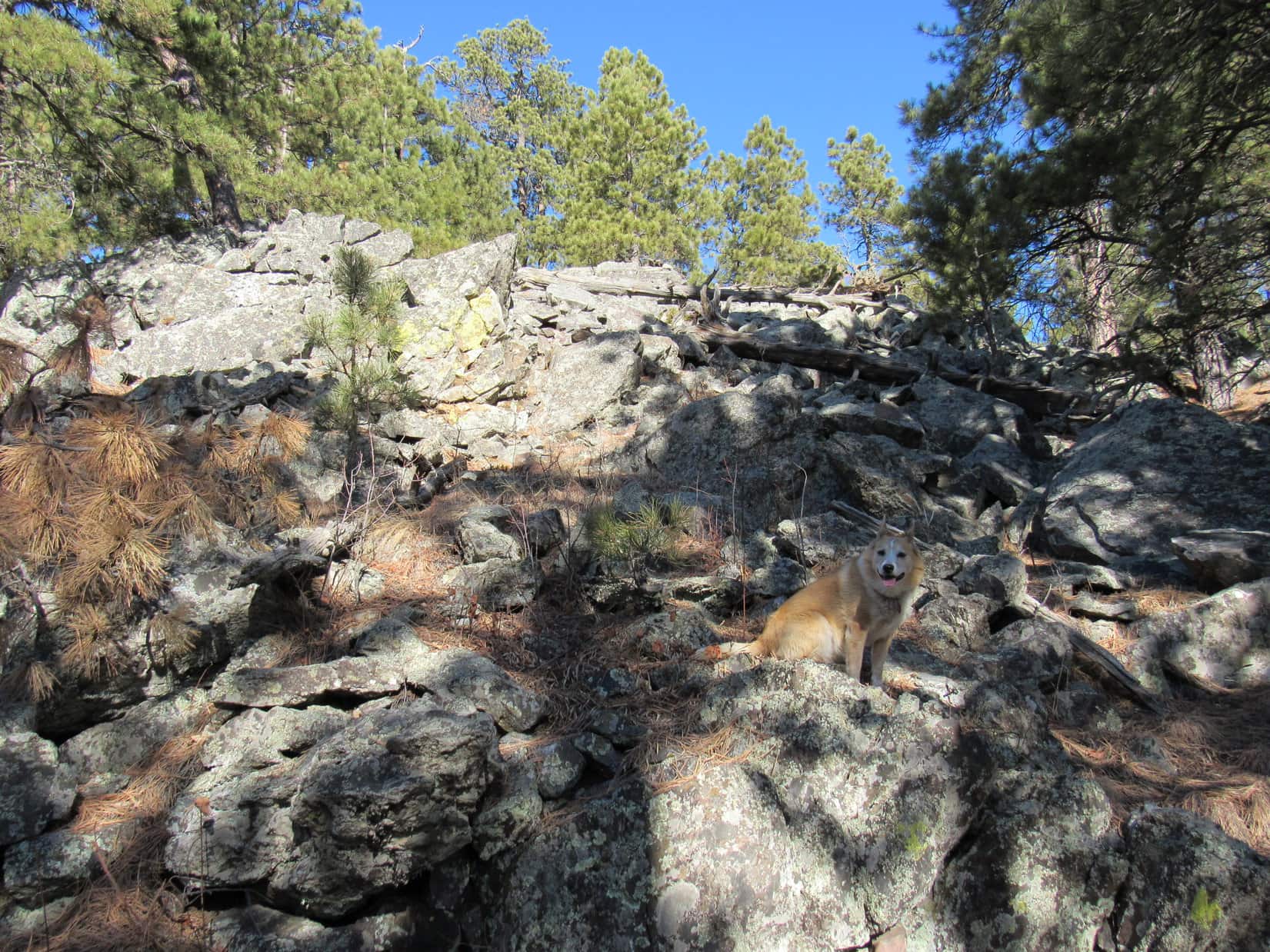
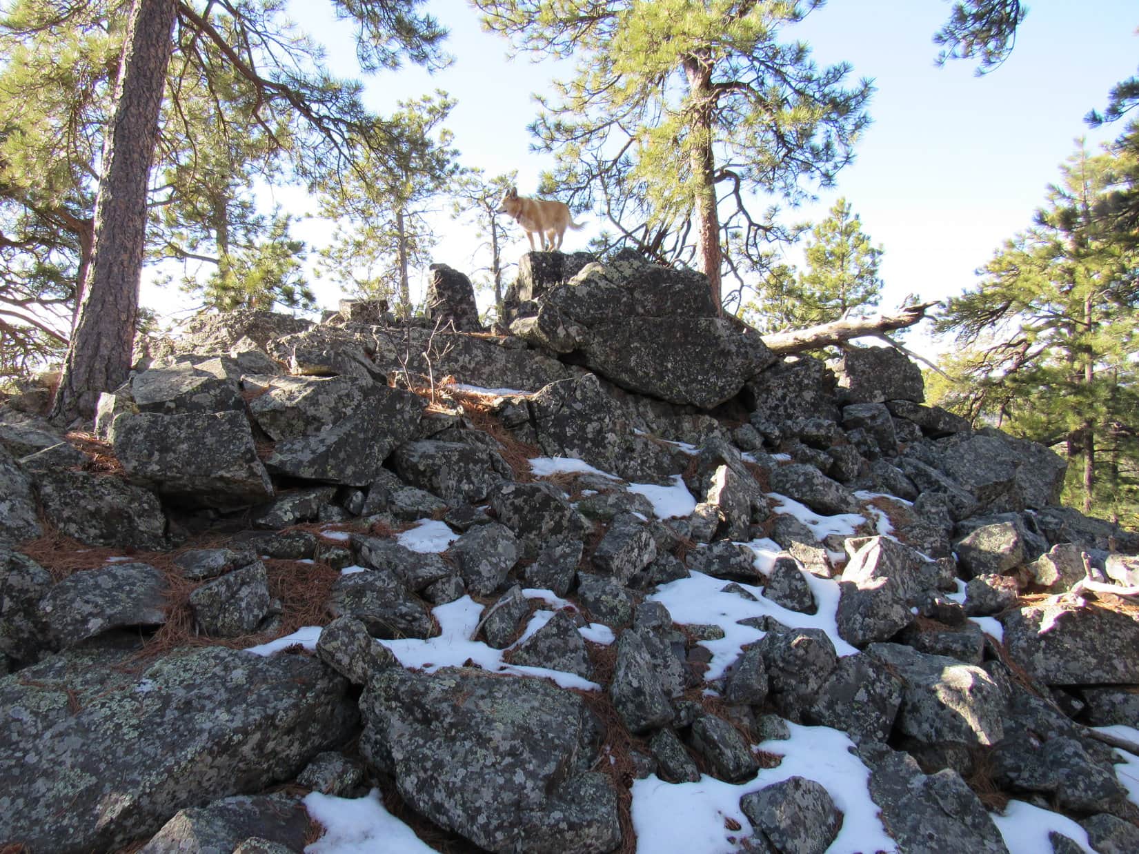
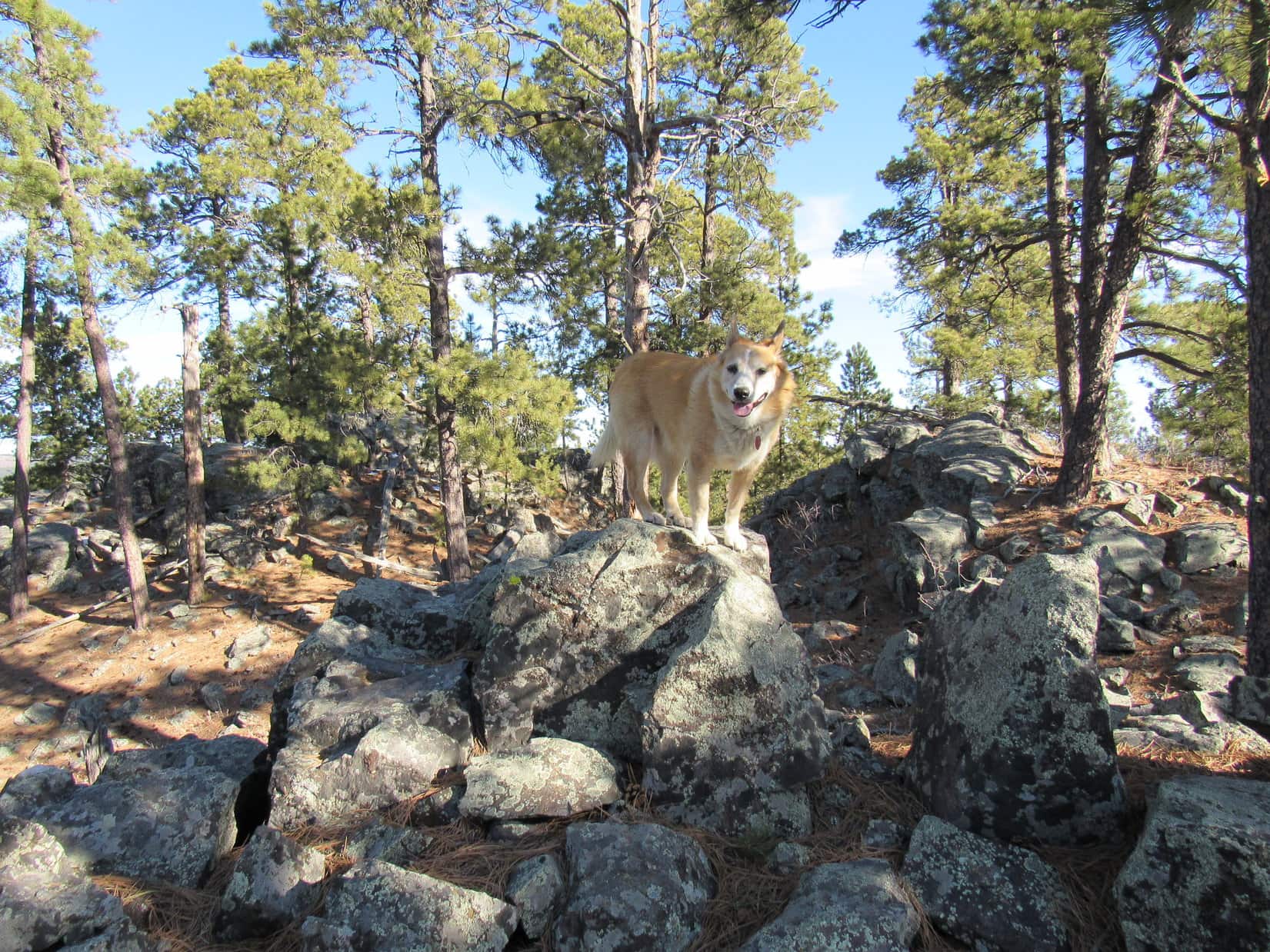
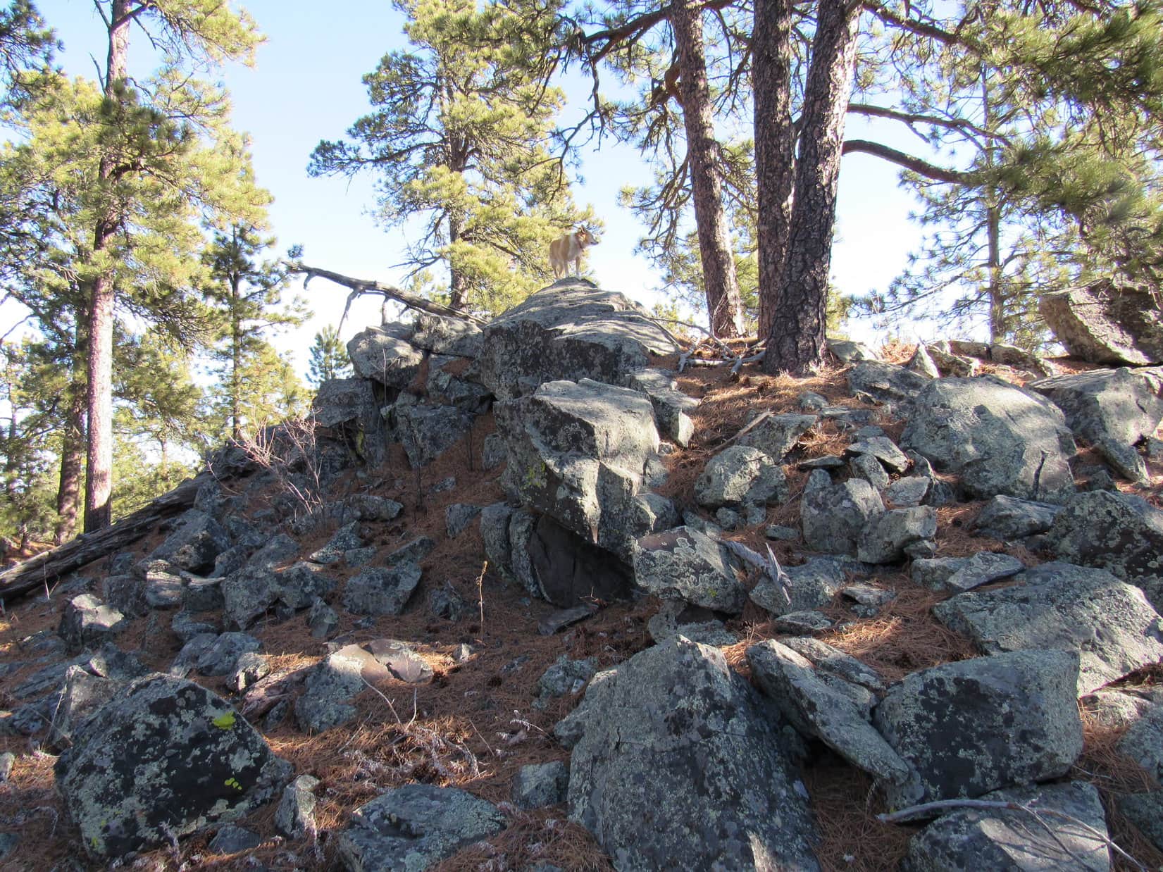
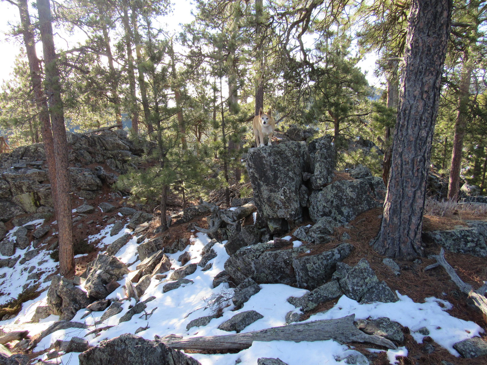
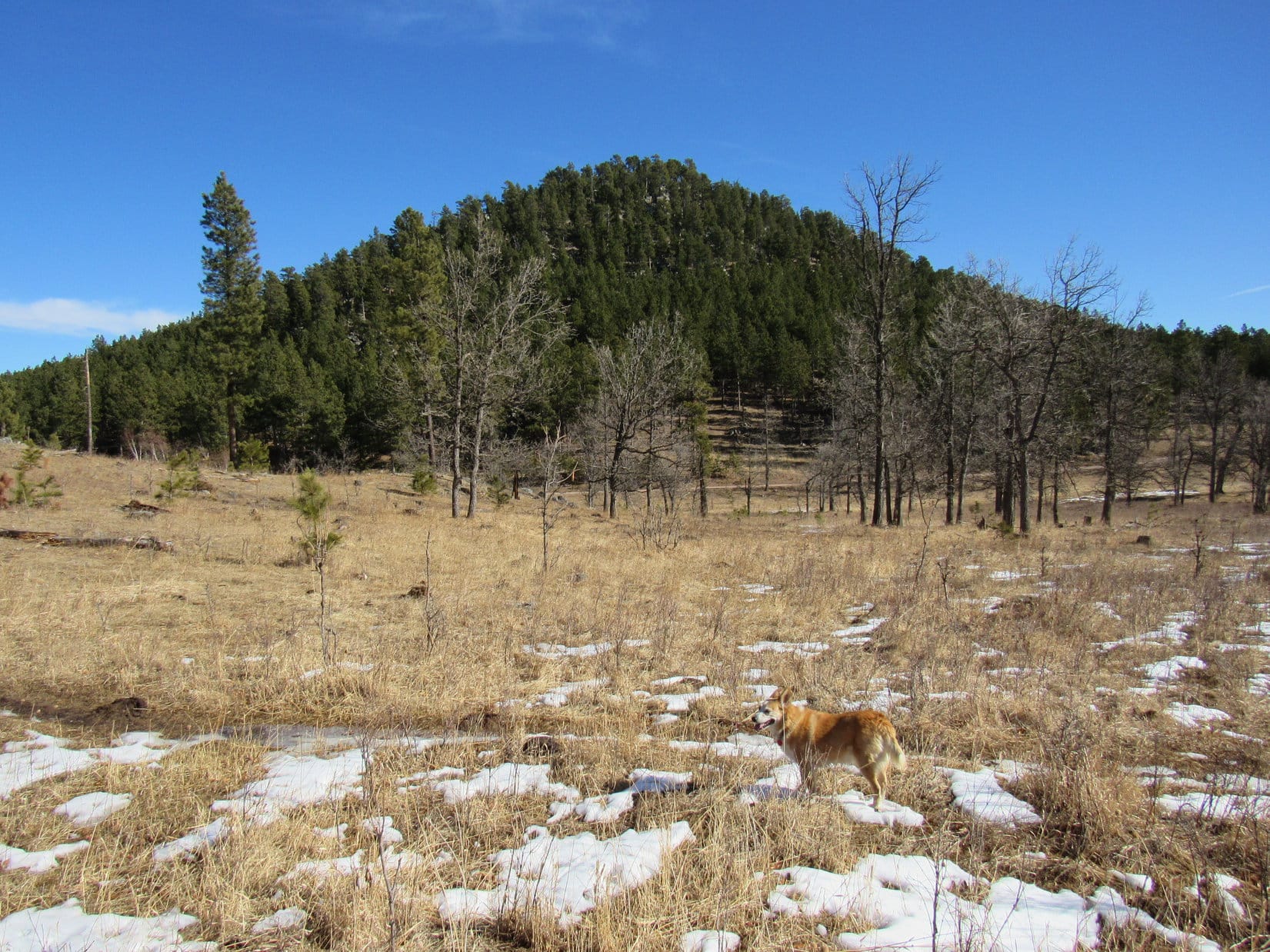
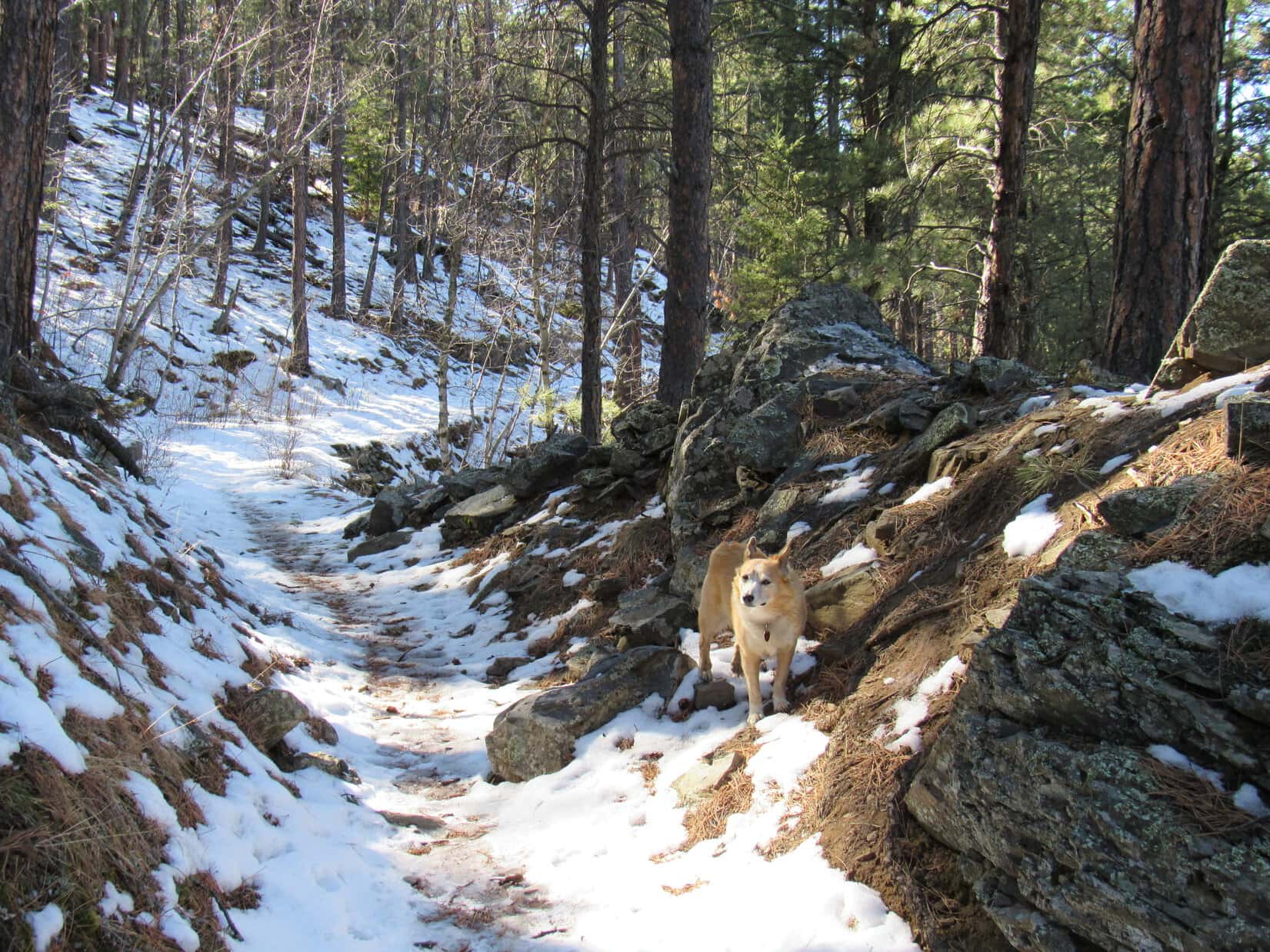
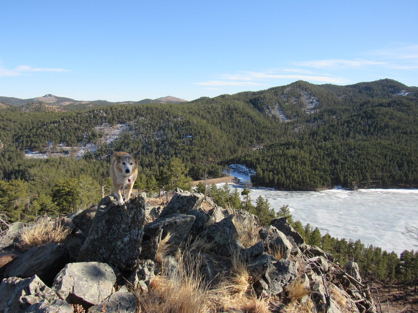
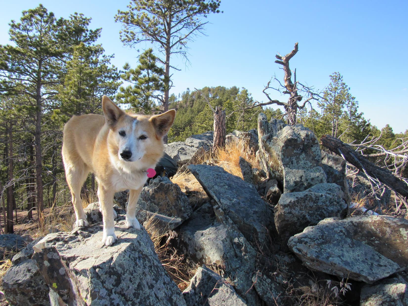
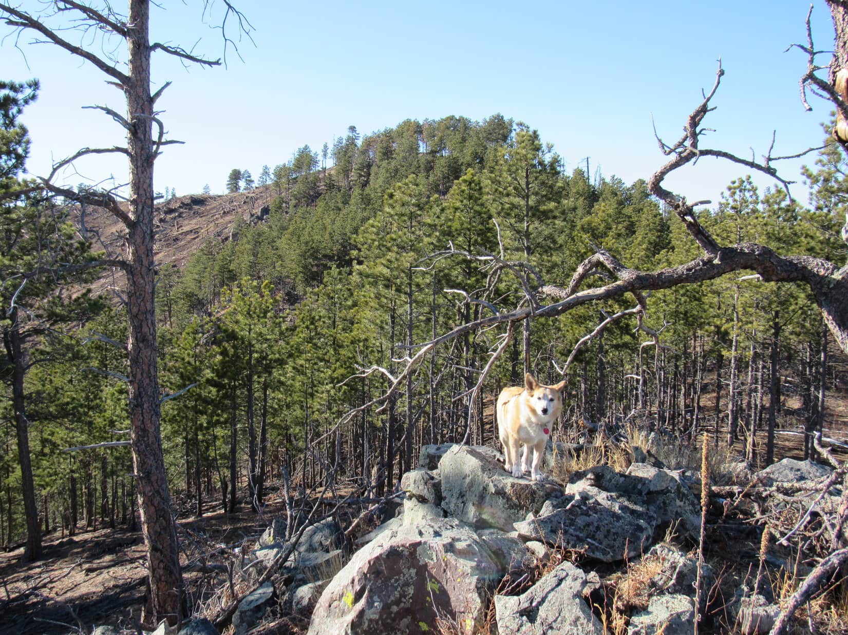
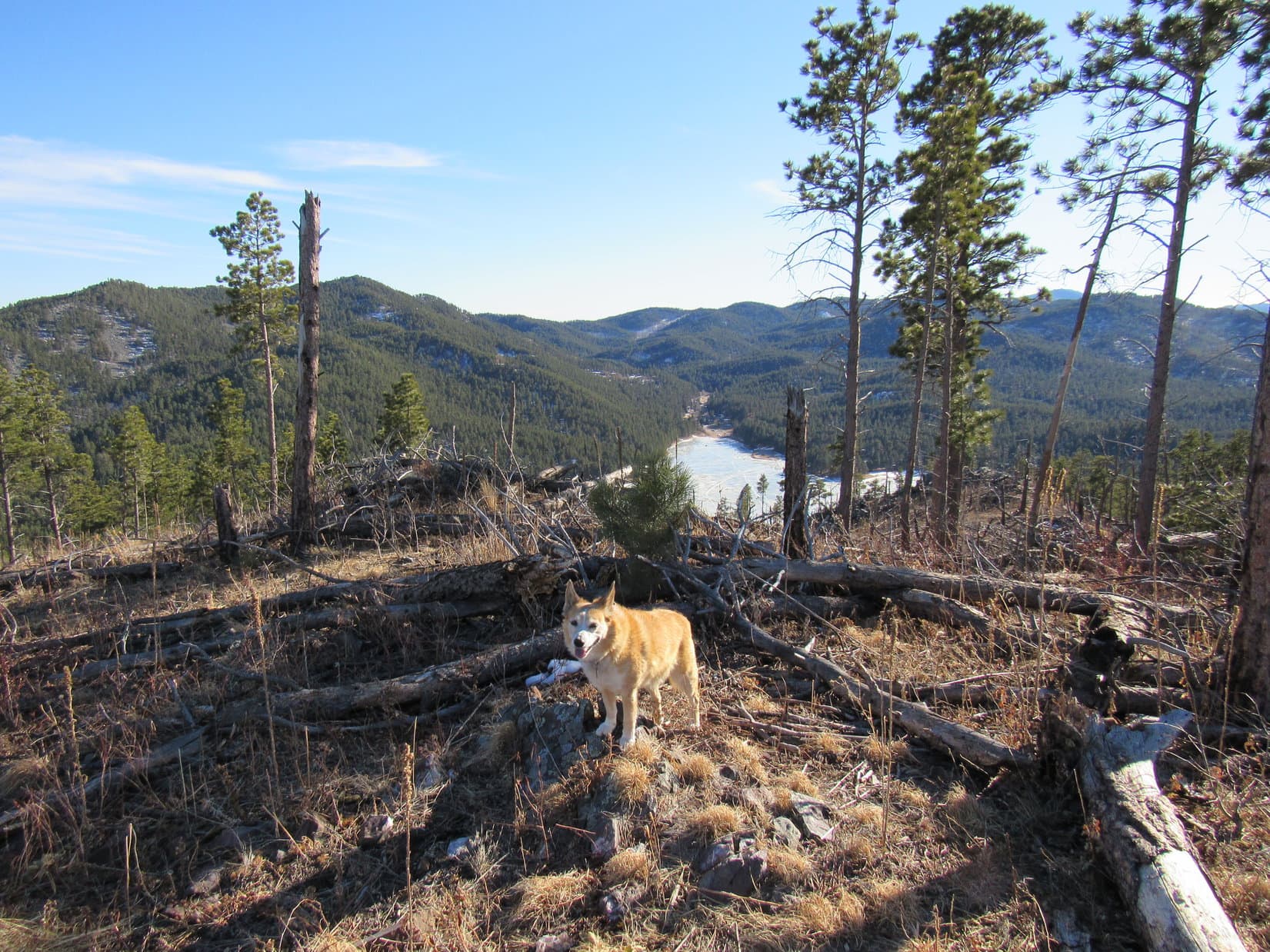
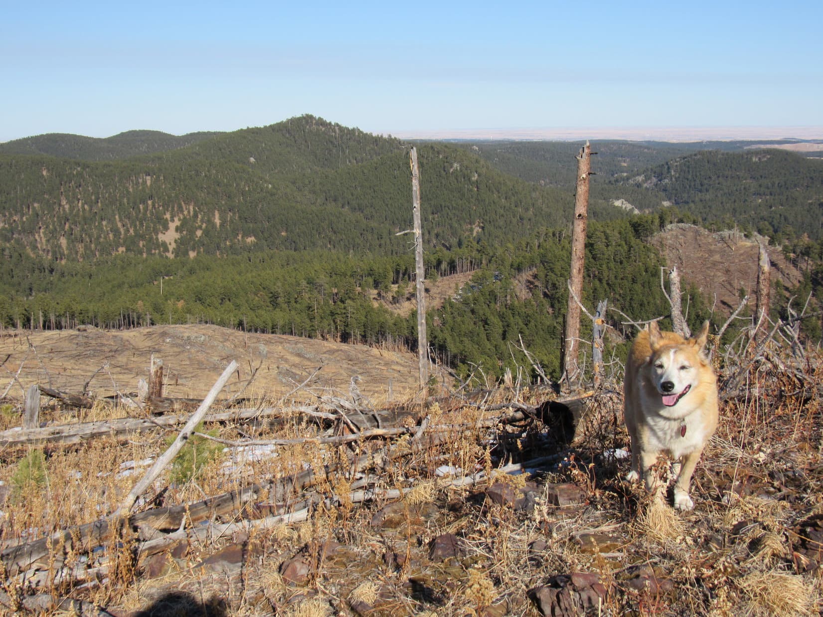
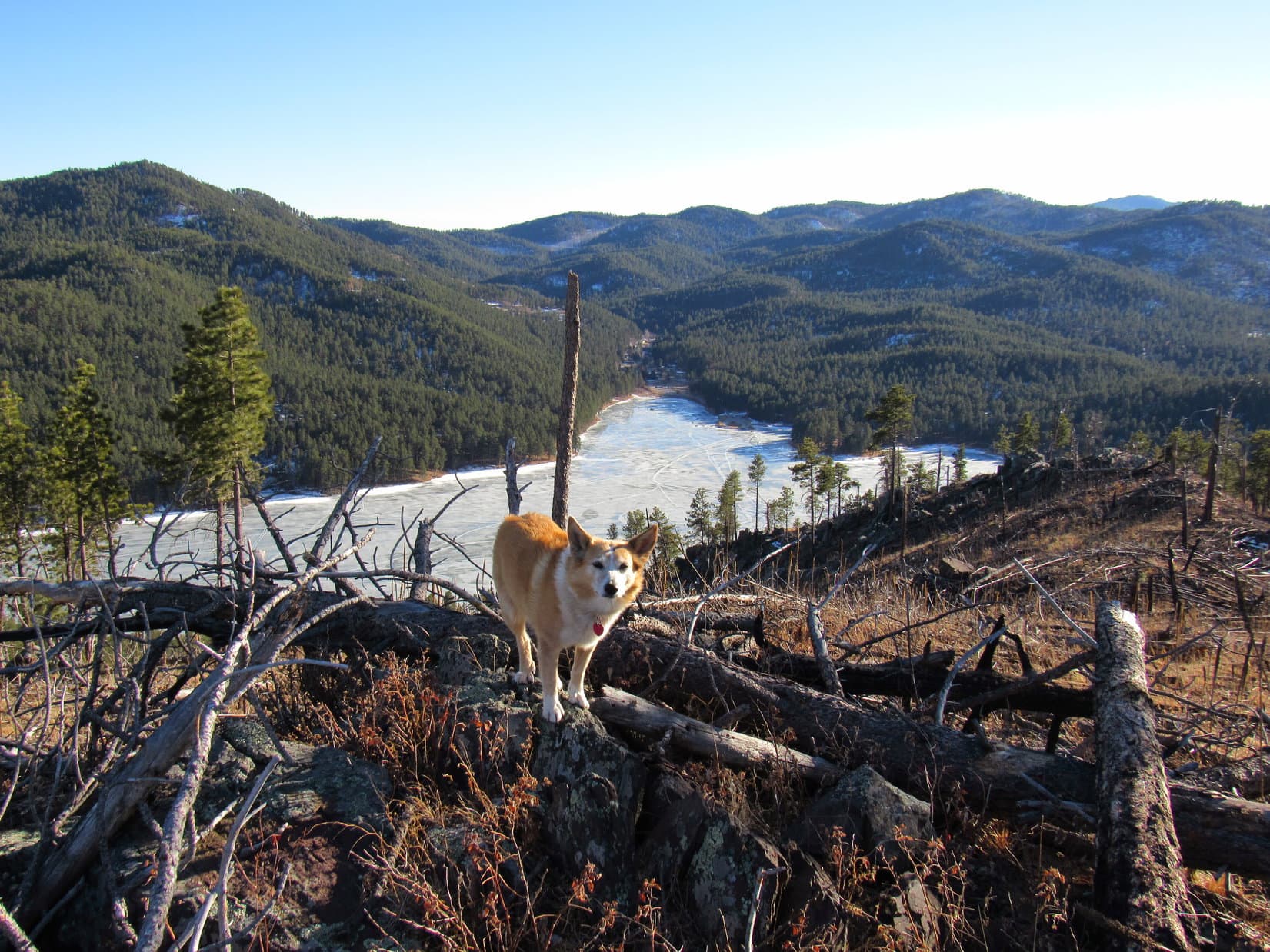
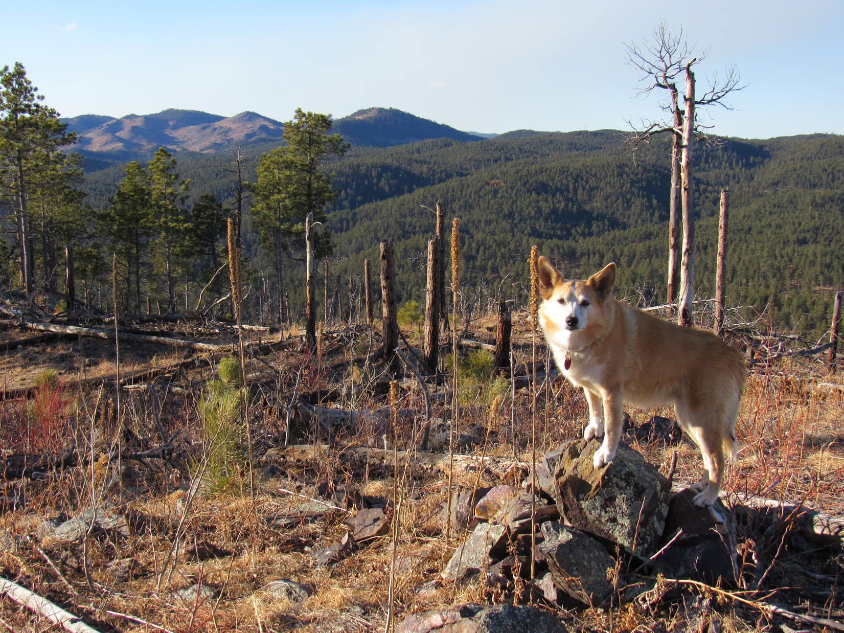
Boulder Hill (5,331 ft.) was a short, easy trek, offering plenty of scenic bang for relatively little effort.  At least, that was the general consensus among Lupe, Joe and SPHP.  Laddie had no expectations, having never been to Boulder Hill before.  All went well until the access road ended at the base of the rocky ridge atop the mountain.  Partway up the single track trail that wound up to the summit, there was a spot requiring a pretty good jump for Laddie’s short legs.

Seeing that Laddie might have a problem with the jump, SPHP offered encouragement.  Laddie gave it one half-hearted effort, failed miserably, and promptly started back down the mountain.  SPHP would have given Laddie the boost required to get past the trouble spot, but having once been latched onto and shaken like a rag doll by another dog, Laddie was extraordinarily fearful and opposed to ever being picked up.

Farther up the trail, Lupe watched and waited as Uncle Joe called Laddie and shouted encouragement.  SPHP demonstrated how easy it actually was to get up past the trouble spot, leaving Laddie alone below.  Laddie responded to Joe a couple of times, but turned around and went back down again each time he reached the trouble spot.

Well, this would never do!  If Cousin Laddie hoped to be a peakbagging Sheltie in the Black Hills, he’d have to develop a little more spirit and gumption.  Joe finally went down to Laddie, attached a leash, and with a gentle tug got him past the trouble spot.  Only took a second or two.  With Joe by his side, Laddie demonstrated more confidence.

Uncle Joe proclaimed Laddie “a weird and needy little dog”, but Laddie did manage to make it the rest of the way up under his own power.

Laddie practicing some light scrambling on the way up Boulder Hill with Joe by his side.
Loopster reaches the familiar summit. This was her 8th Boulder Hill ascent.
Joe and Laddie on Boulder Hill.

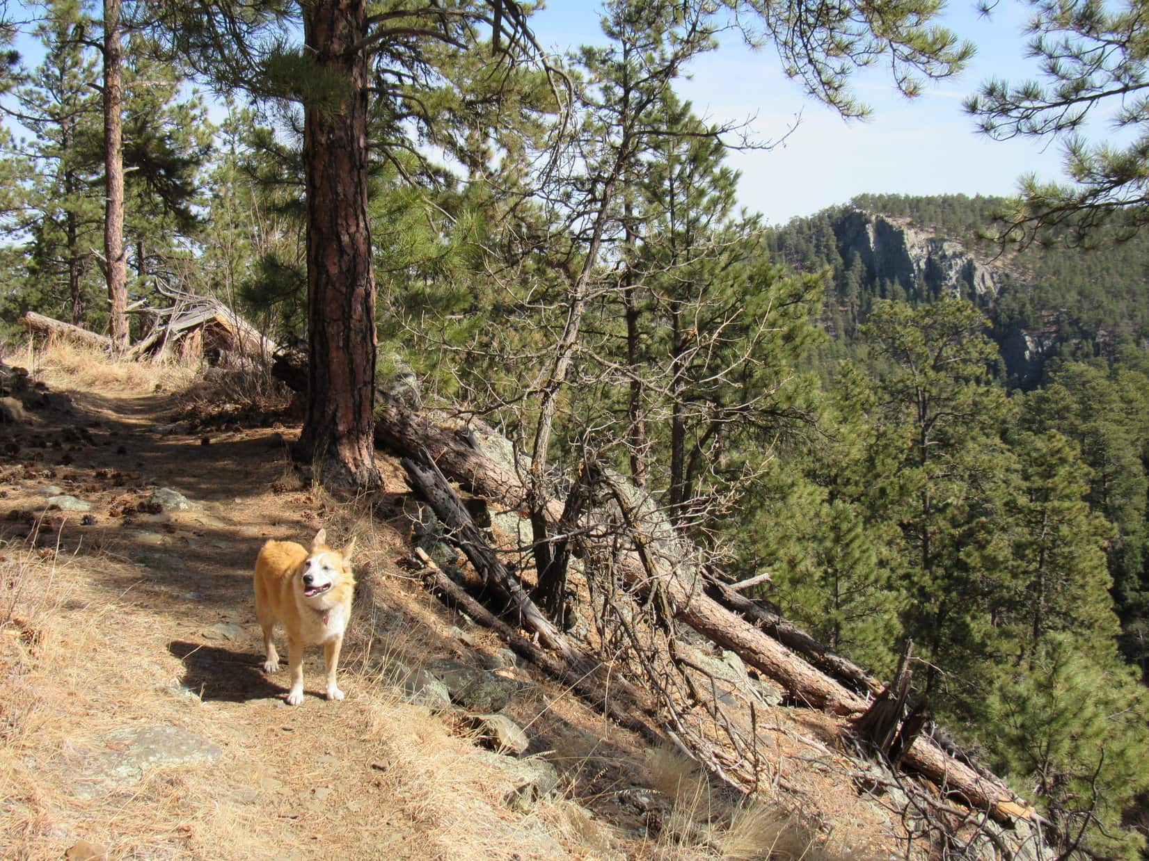
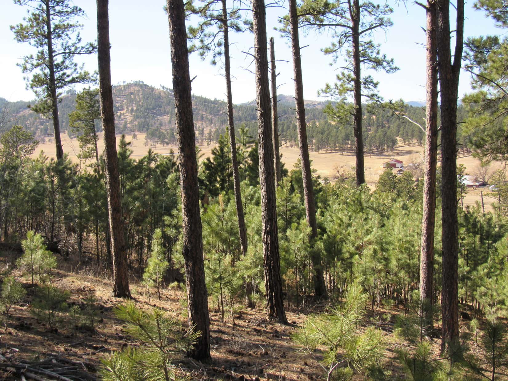
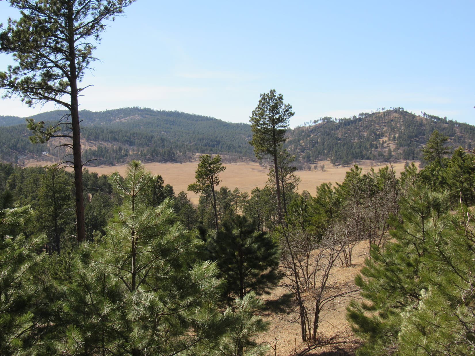
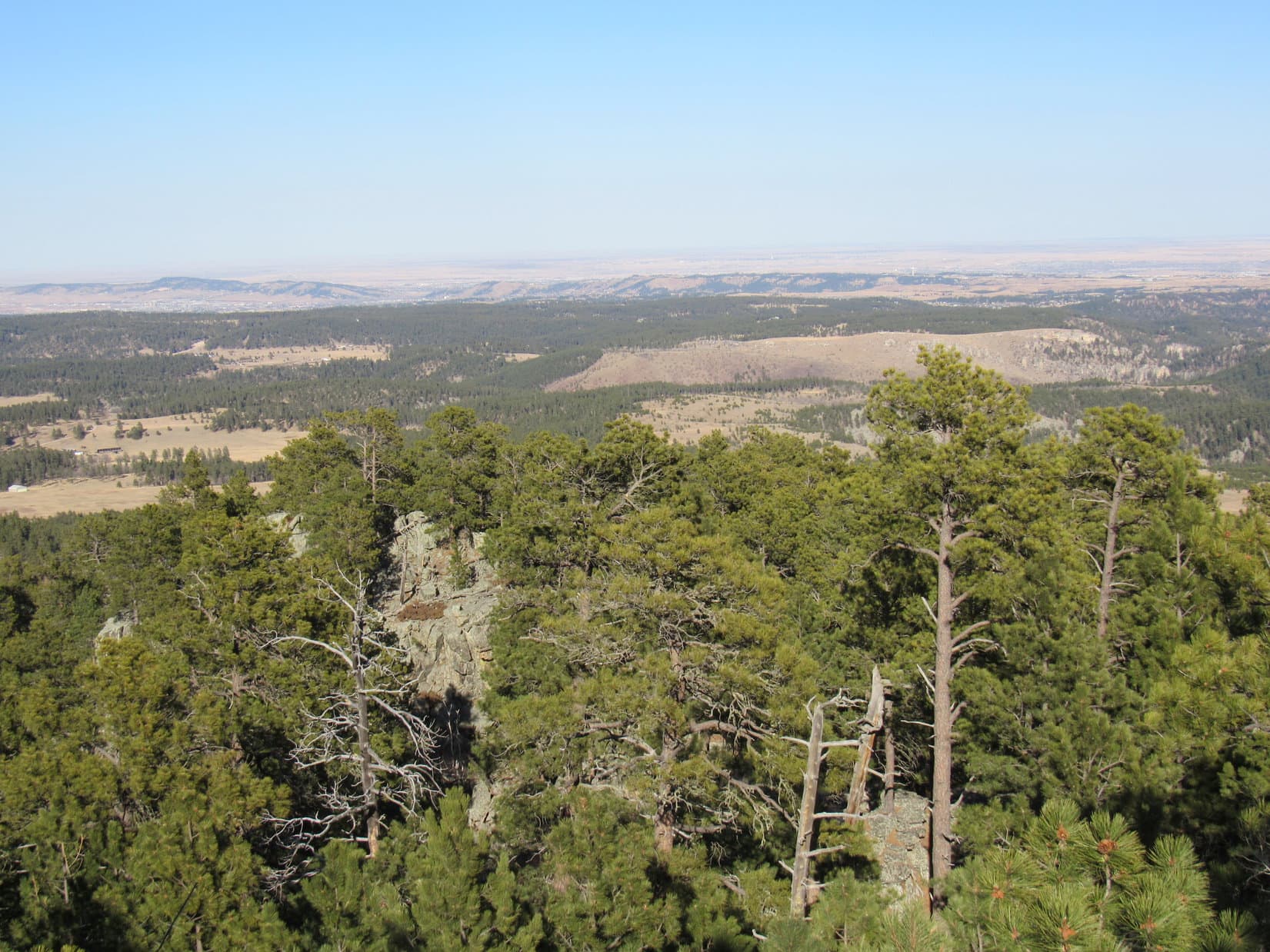
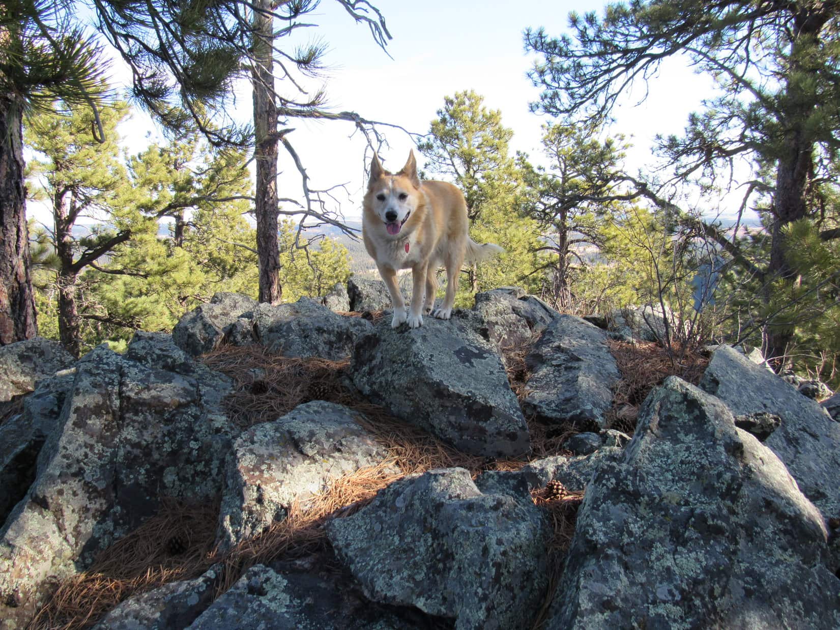
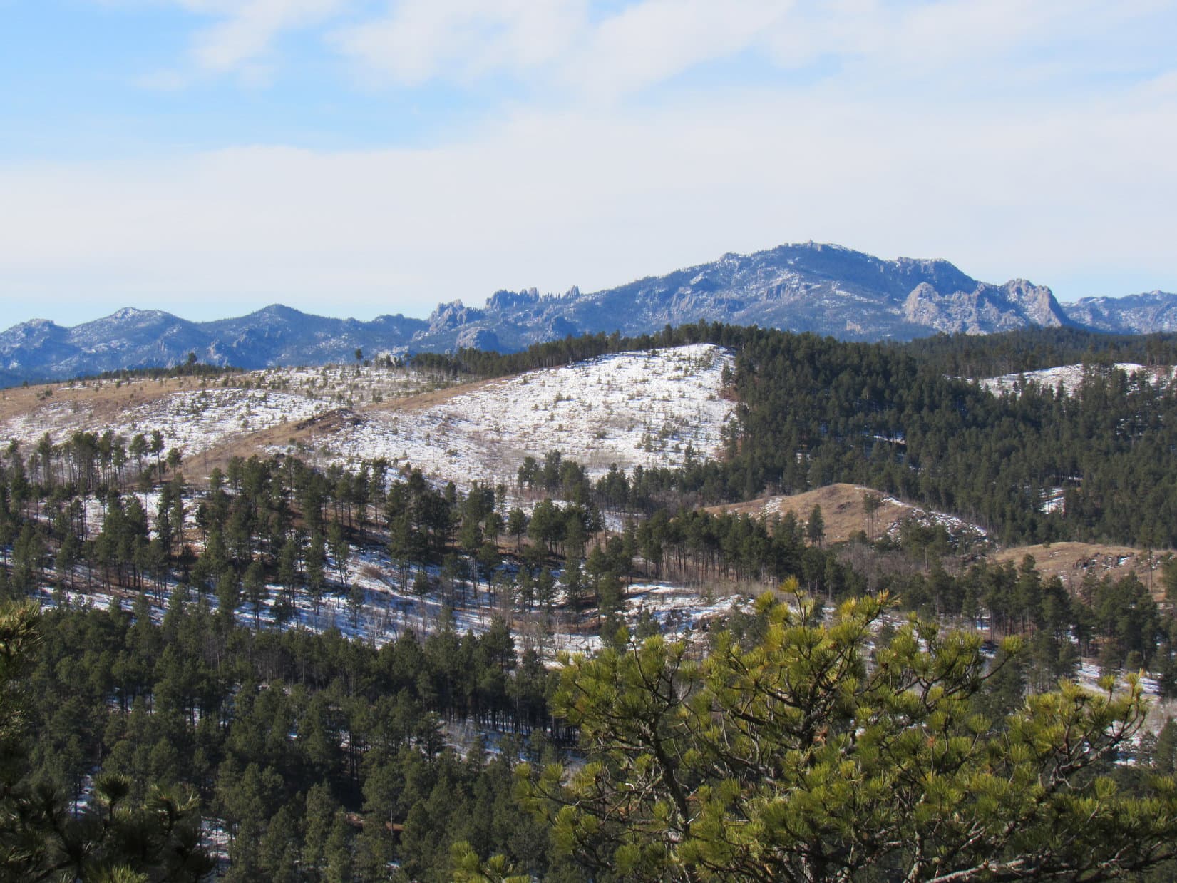
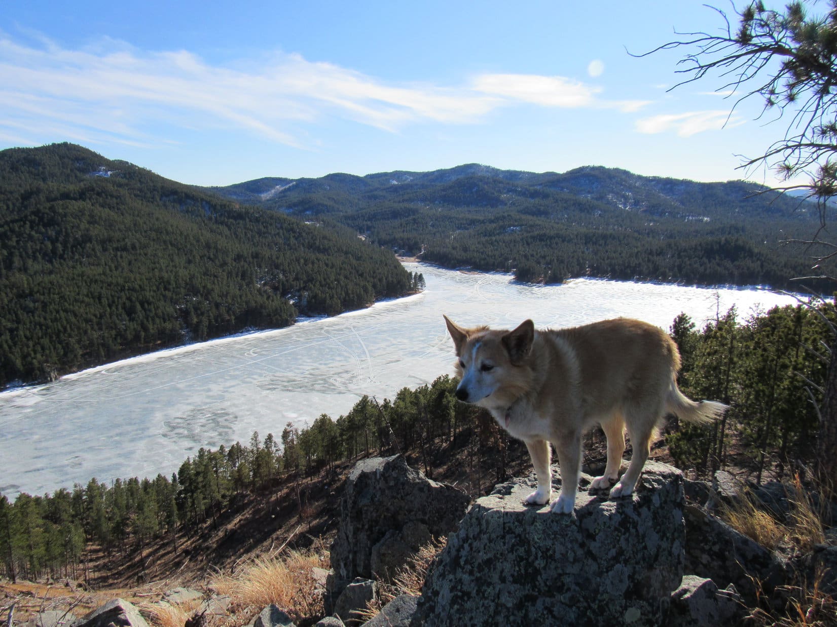
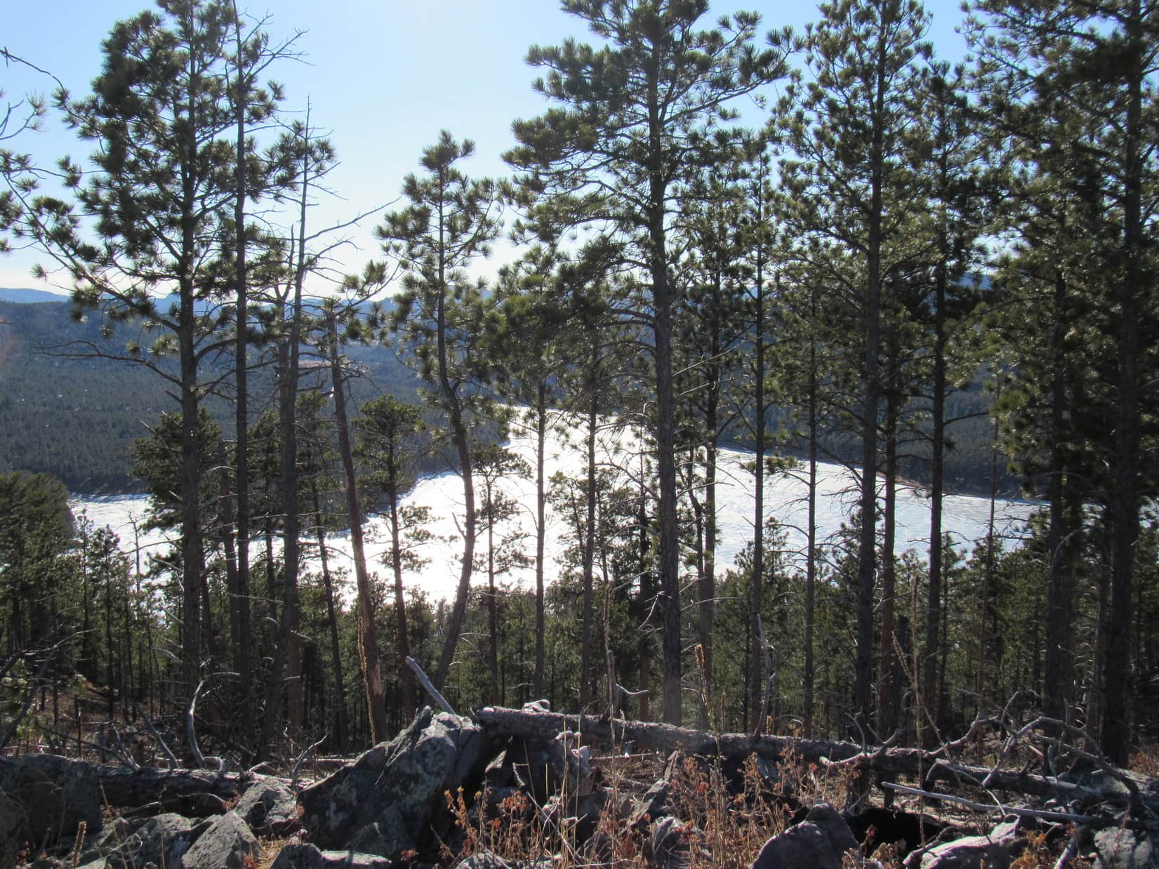
Ordinarily, a nice, long break would have been taken up on Boulder Hill to enjoy the magnificent views so easily obtained.  However, the summit was much windier than it had been on the way up, and the cold breeze seemed to be gaining strength with every passing moment.

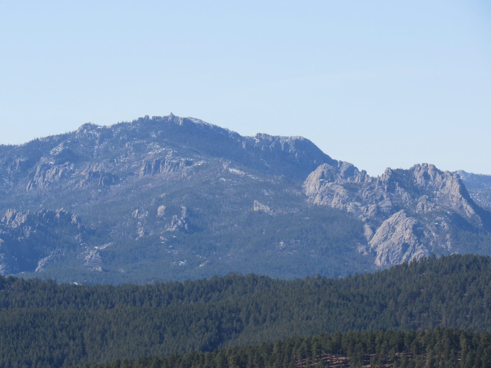
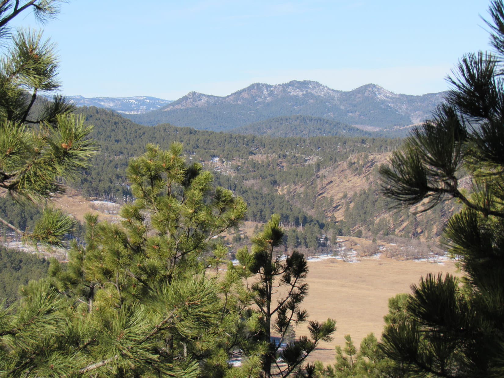
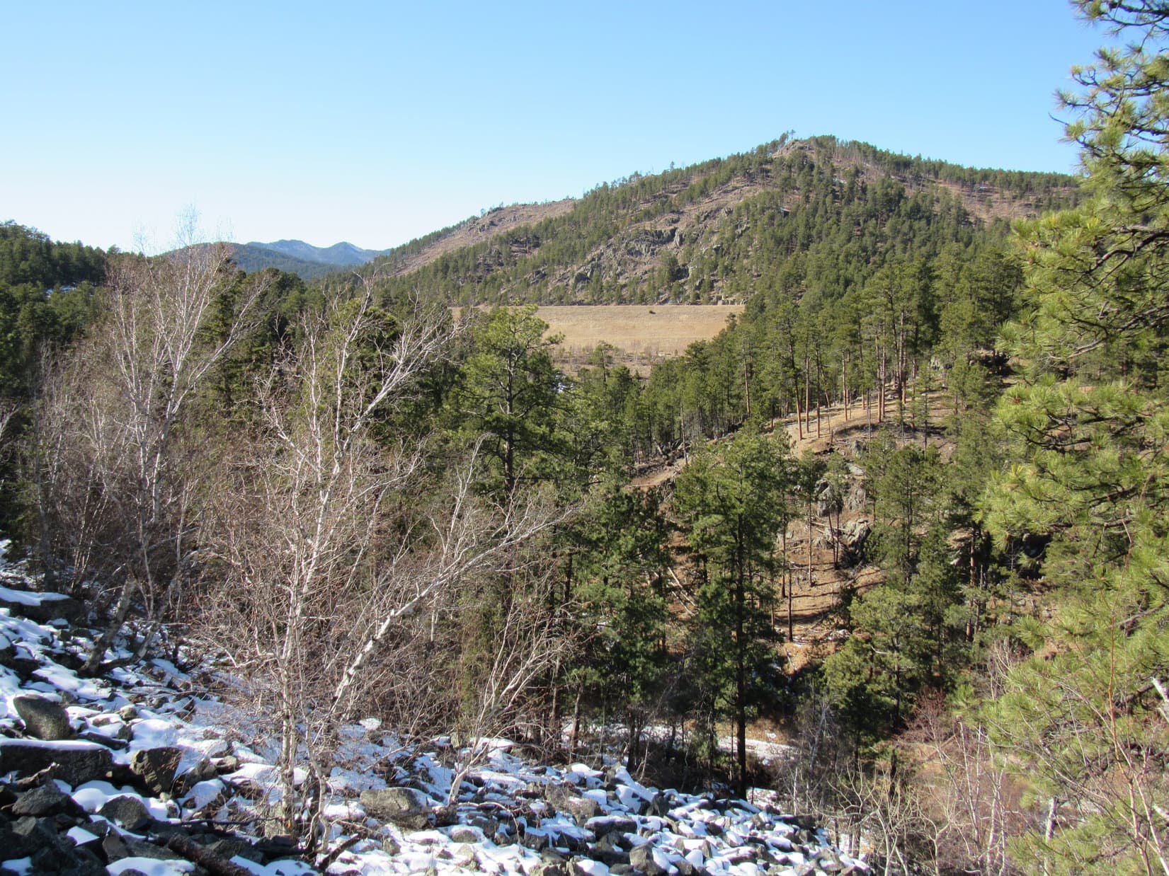
Furthermore, although Silver Mountain (5,405 ft.) was in sight less than 1.25 mile SSW, most higher peaks were in the clouds.

Joe and Lupe together on Boulder Hill while Cousin Fuzzy Caterpillar has a sniff around. Silver Mountain (R). Photo looks SSW.

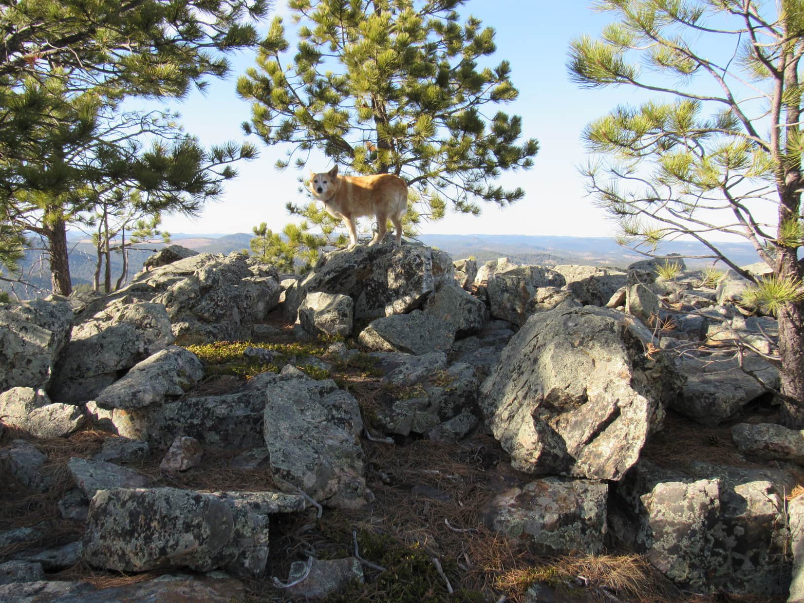
10 minutes up top were about it before a general retreat was decided upon.  The descent went fine.  Laddie was somewhat bolder, having so recently gone this way before.

Approaching the RAV4, a change was evident.  A pickup truck with a trailer was now parked nearby.  Of even more interest, a horse was tied to the trailer.  Despite how much bigger the horse was, Laddie felt plenty bold now.  Unafraid, he rushed at the enormous equine, barking.

Unable to run away, the horse did nothing, but seemed nervous.  Not a good situation!  Uncle Joe sprang into action, running over to re-attach Laddie’s leash, then dragging Cousin Watch-Me-Get-Kicked-in-the-Head away from the confrontation.

Uncle Joe staves off disaster.

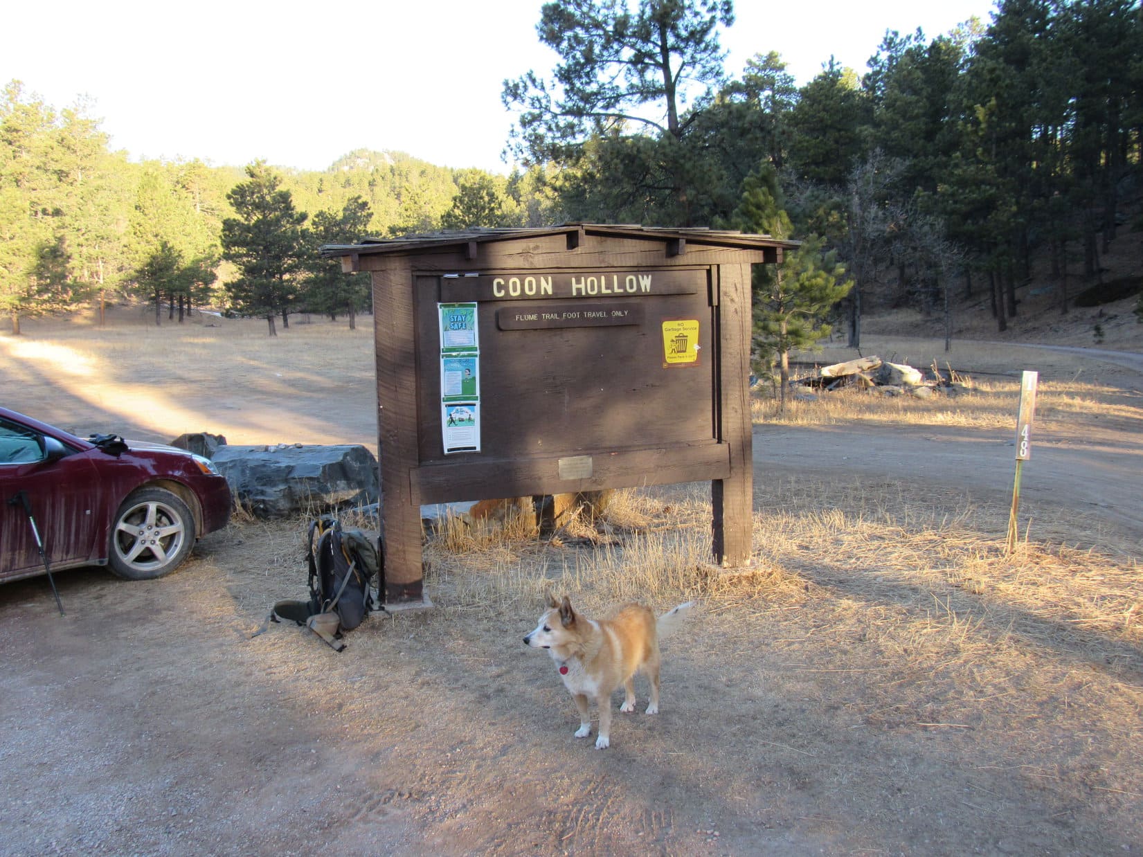
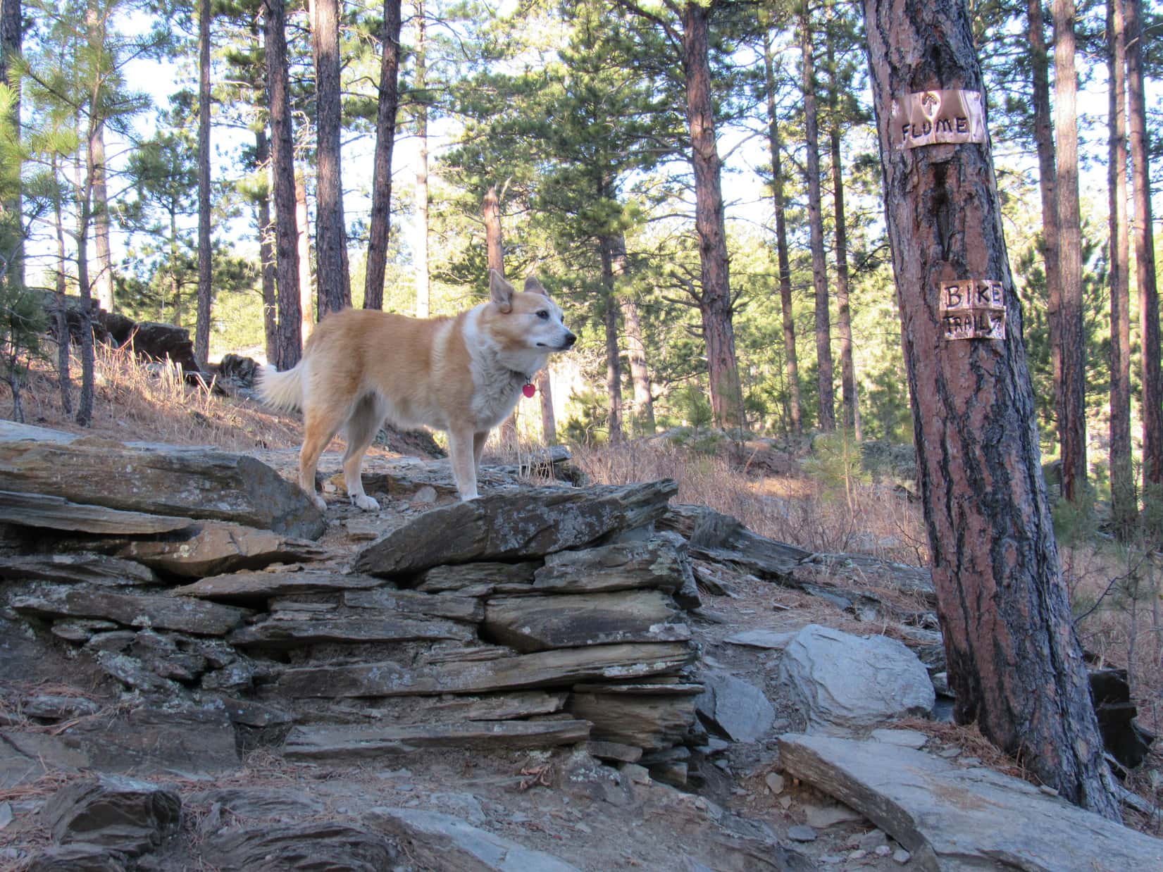
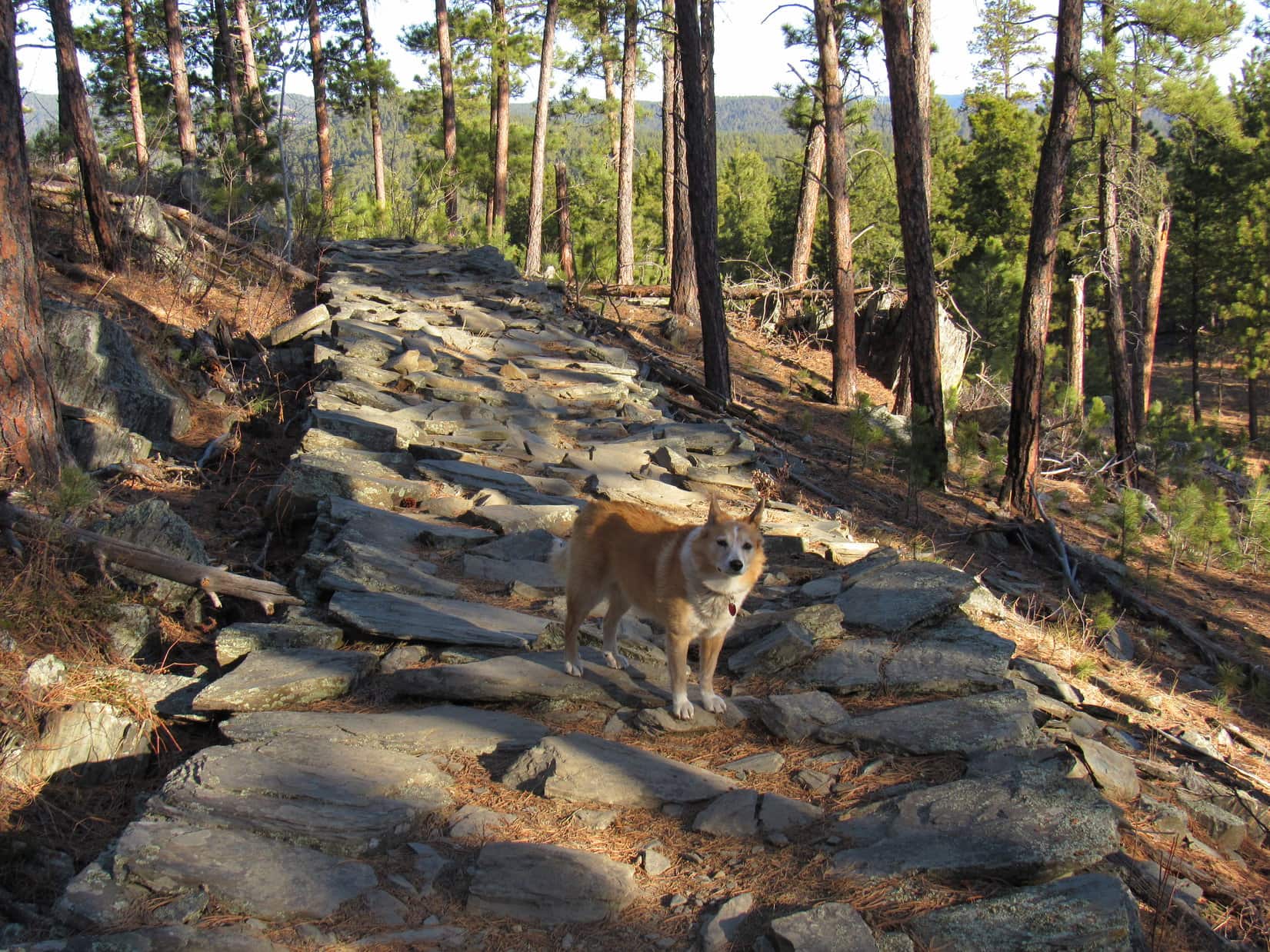
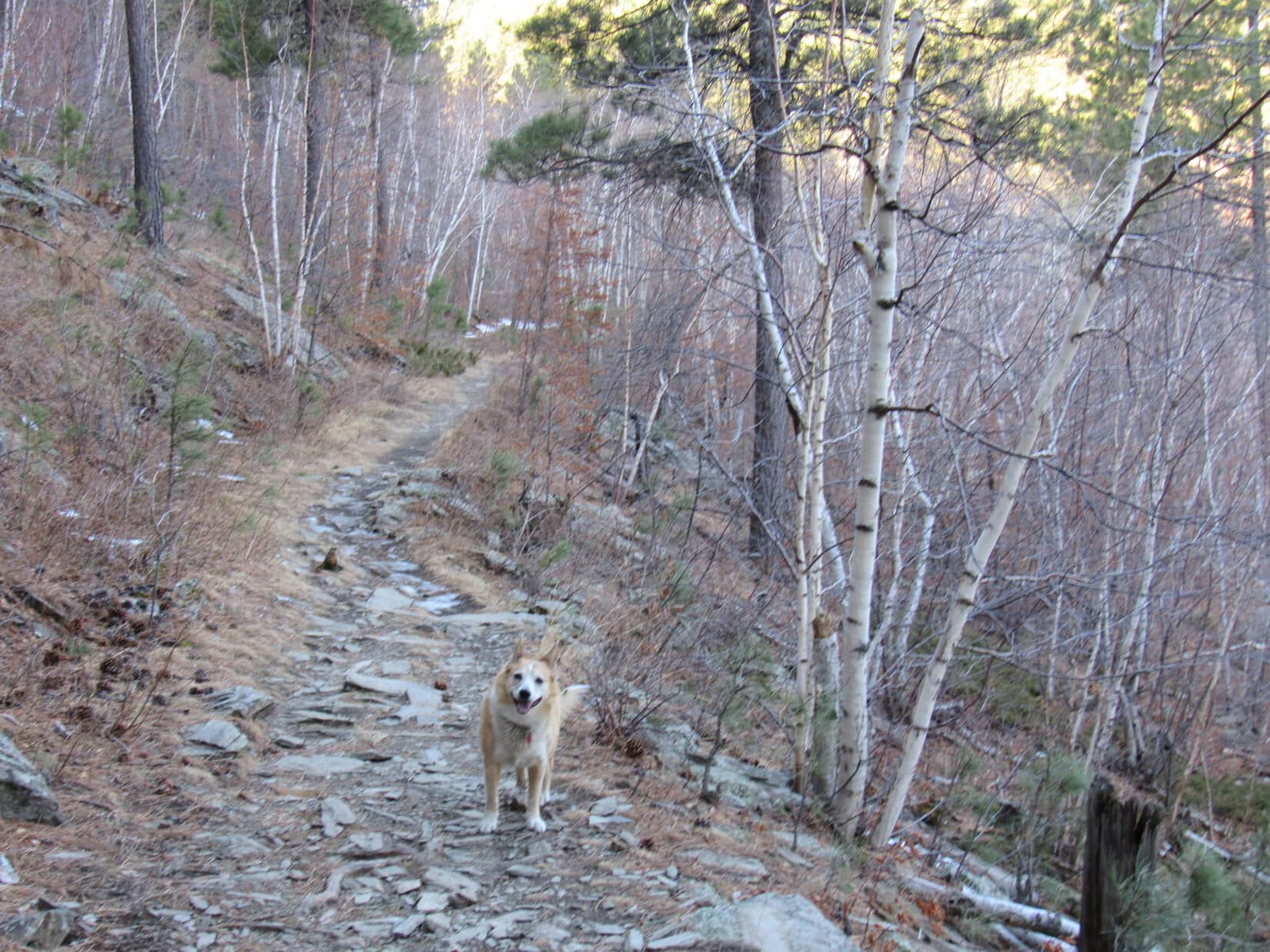
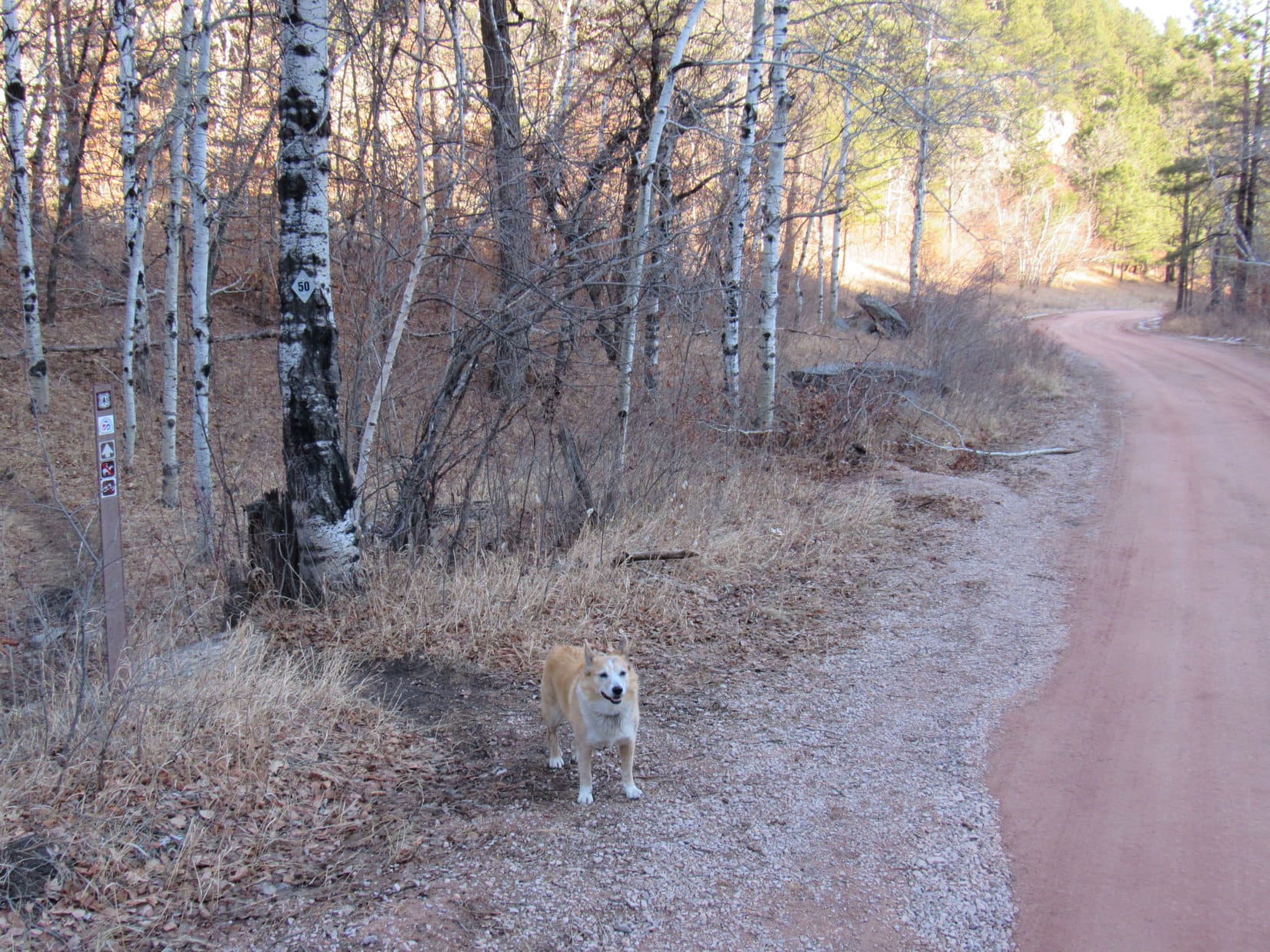
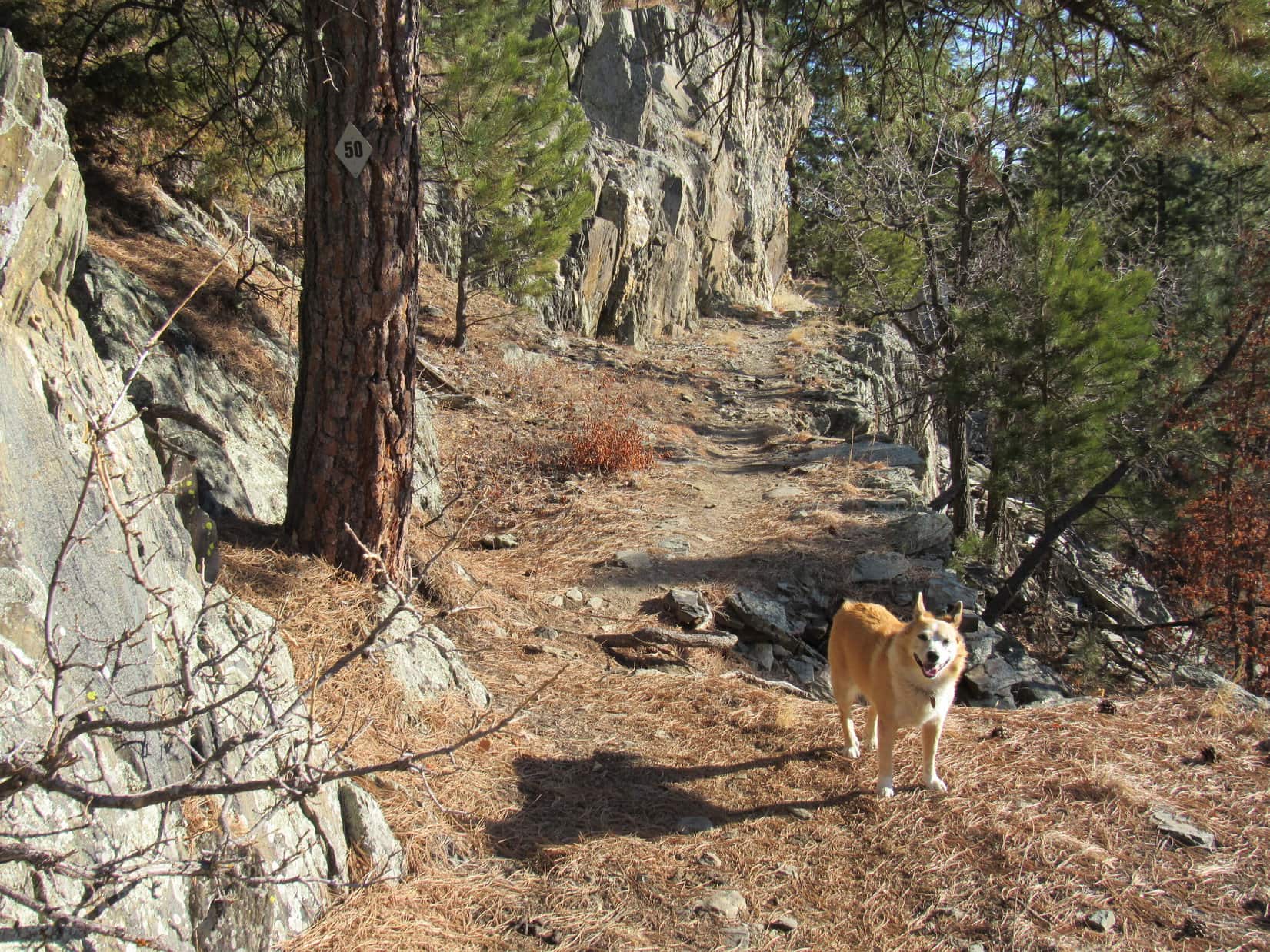
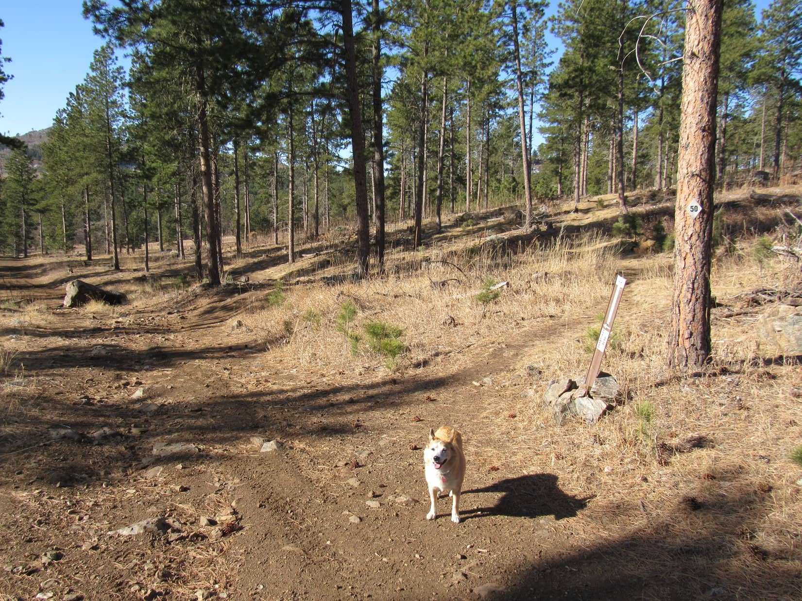
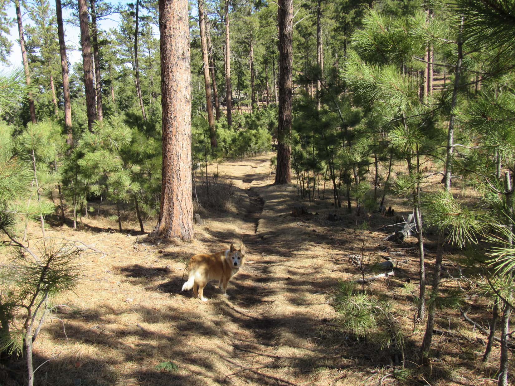
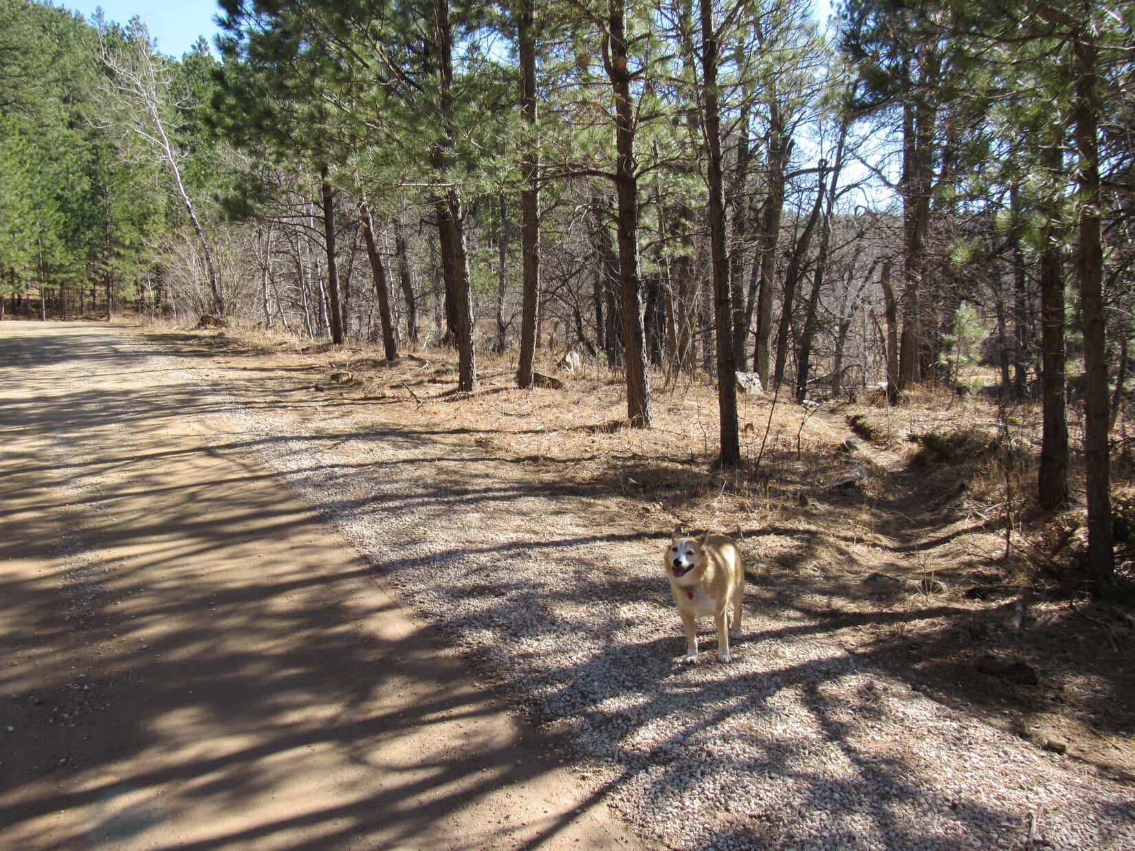
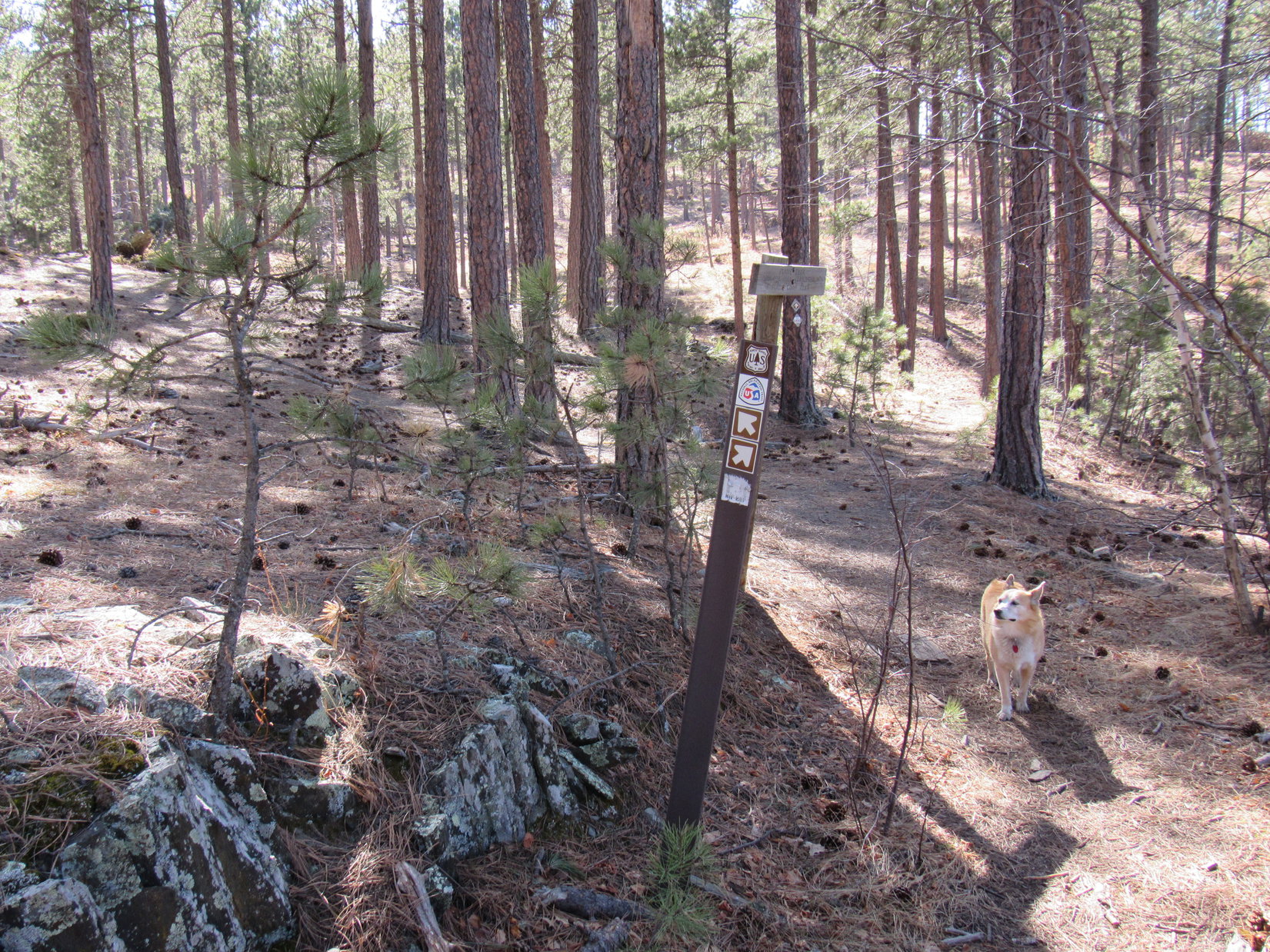
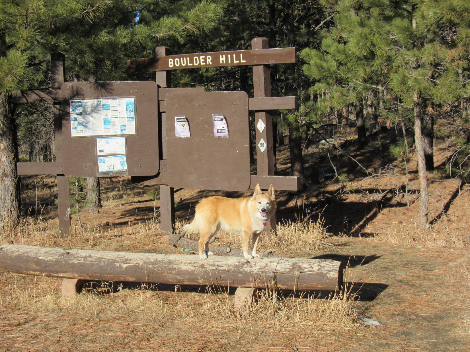
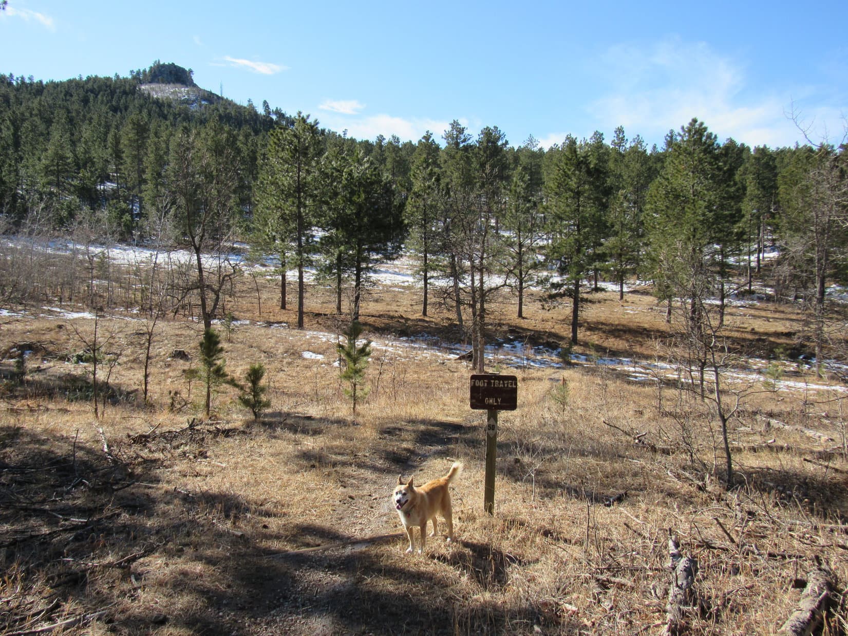
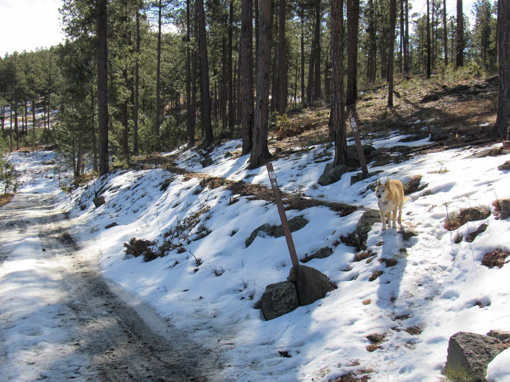
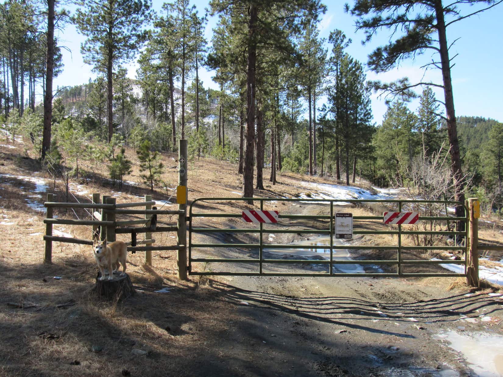
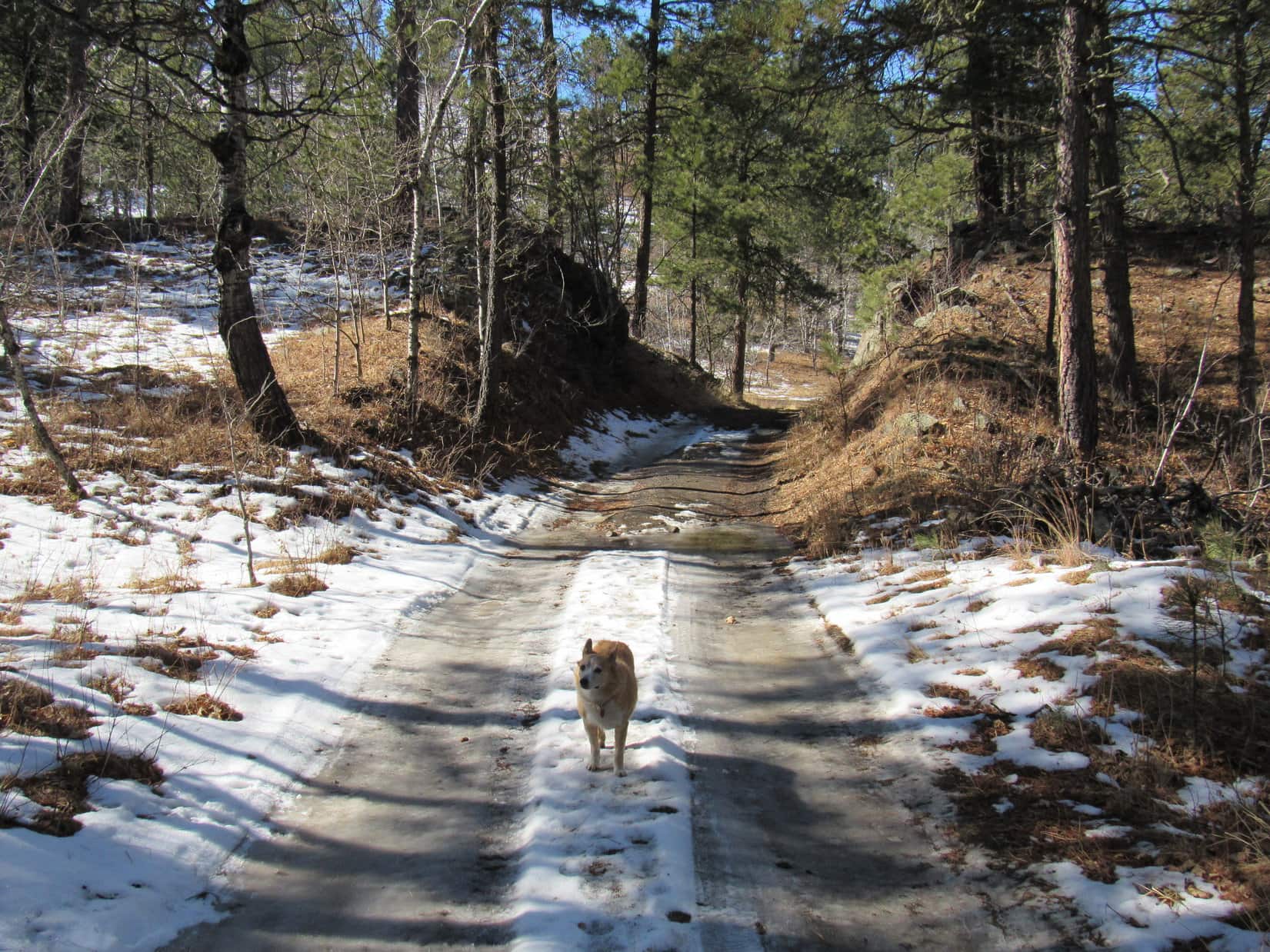
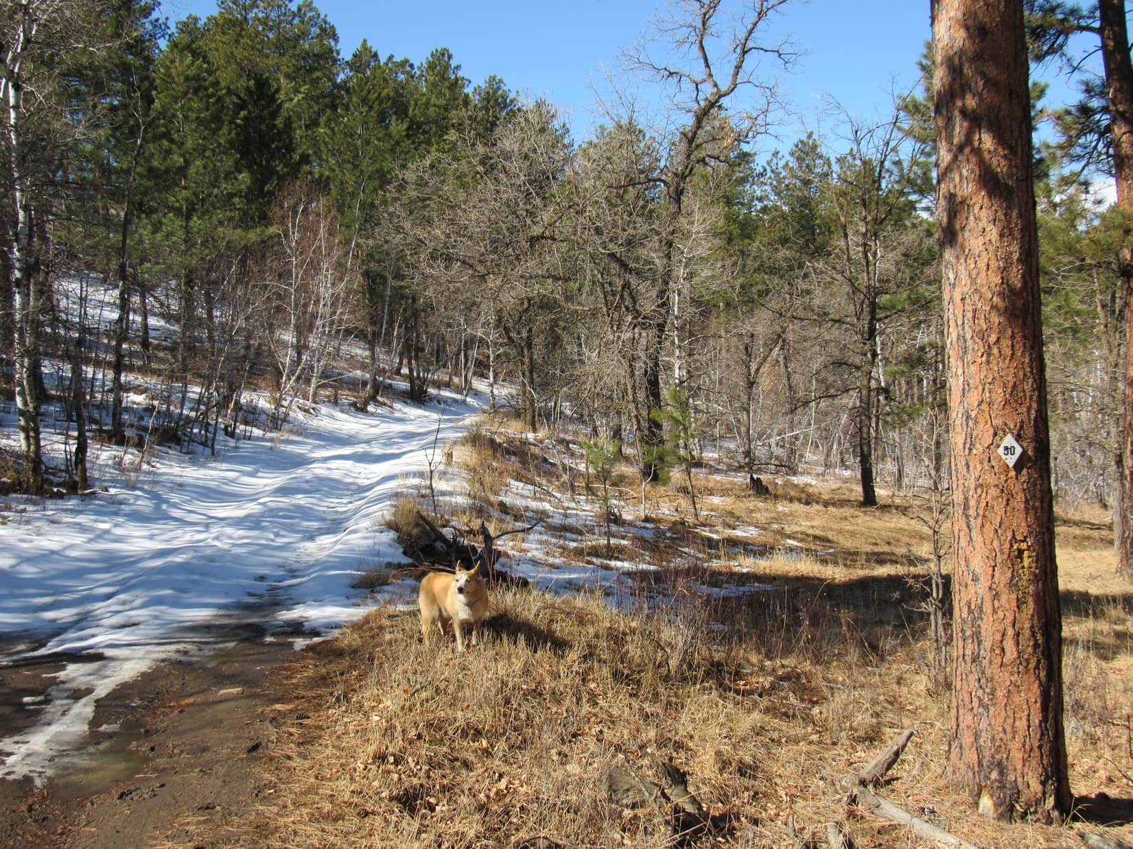
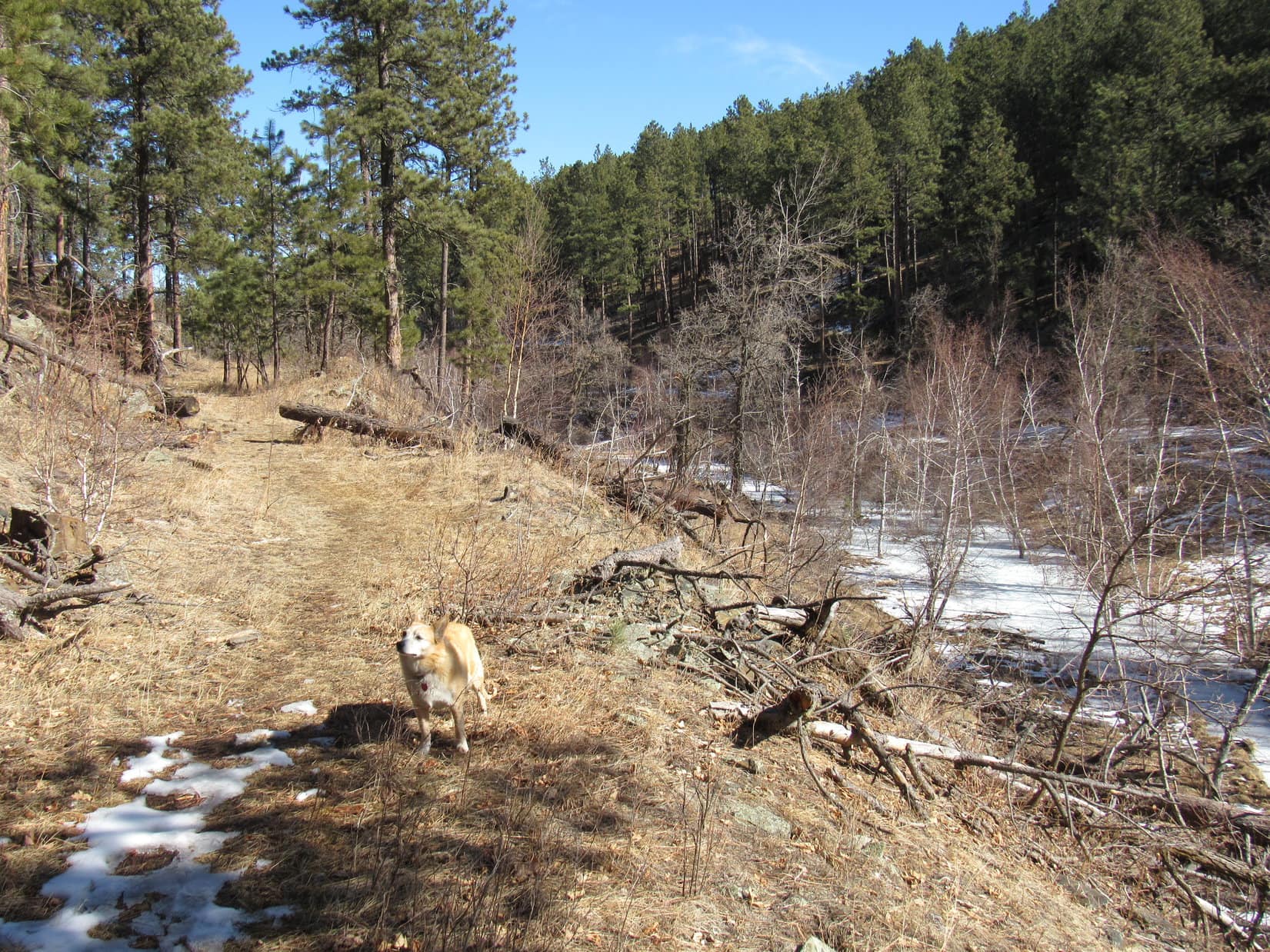
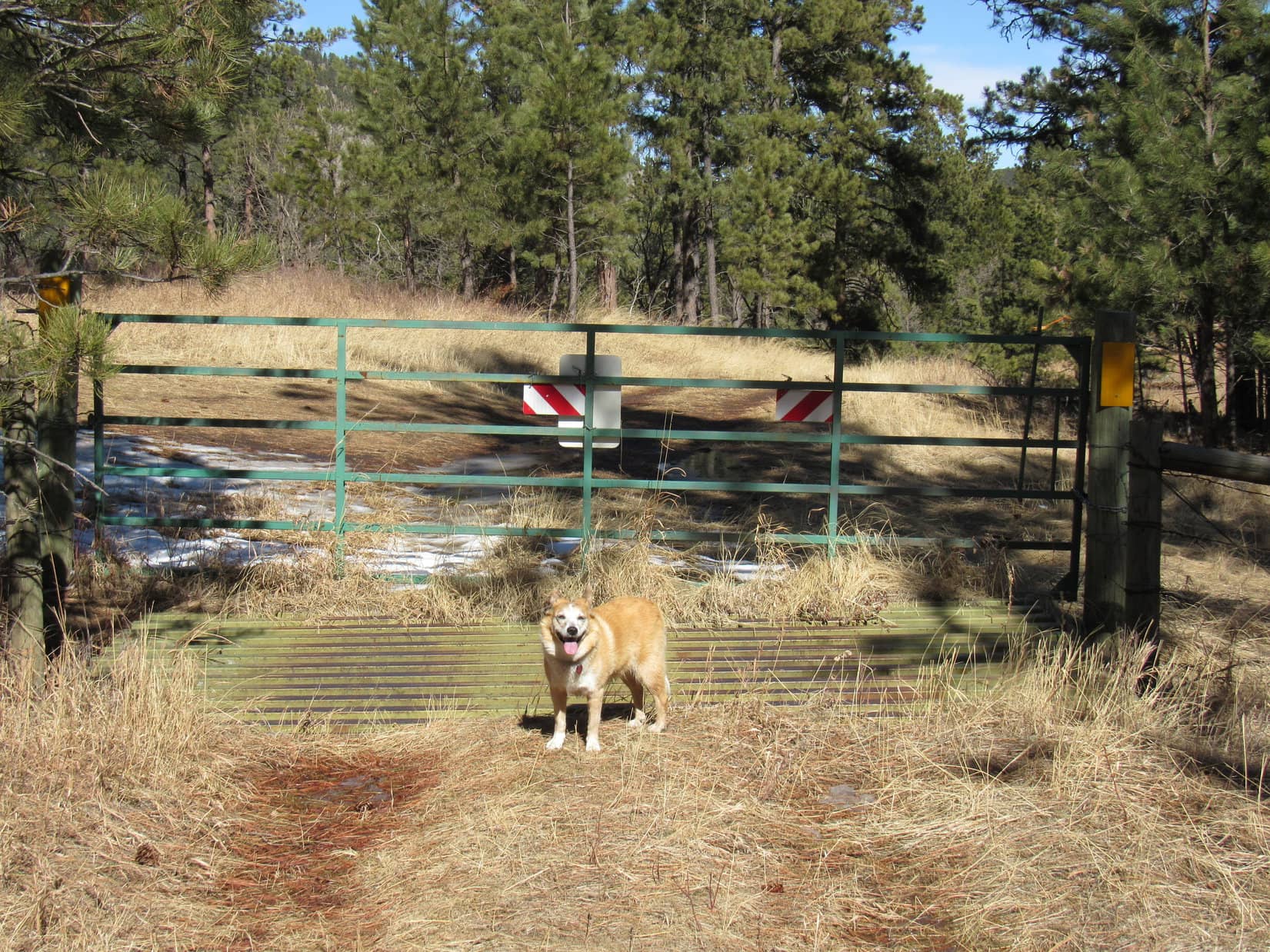
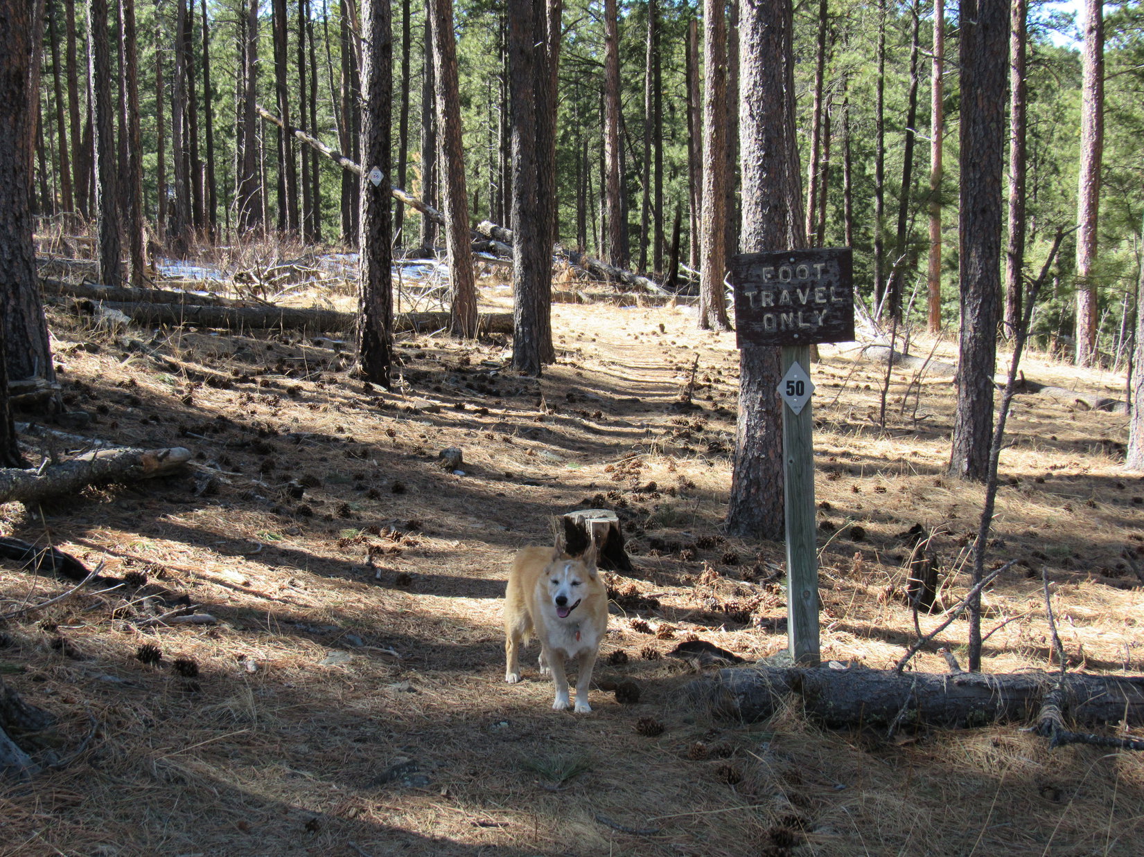
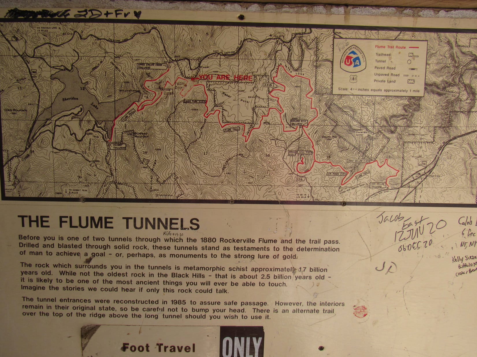
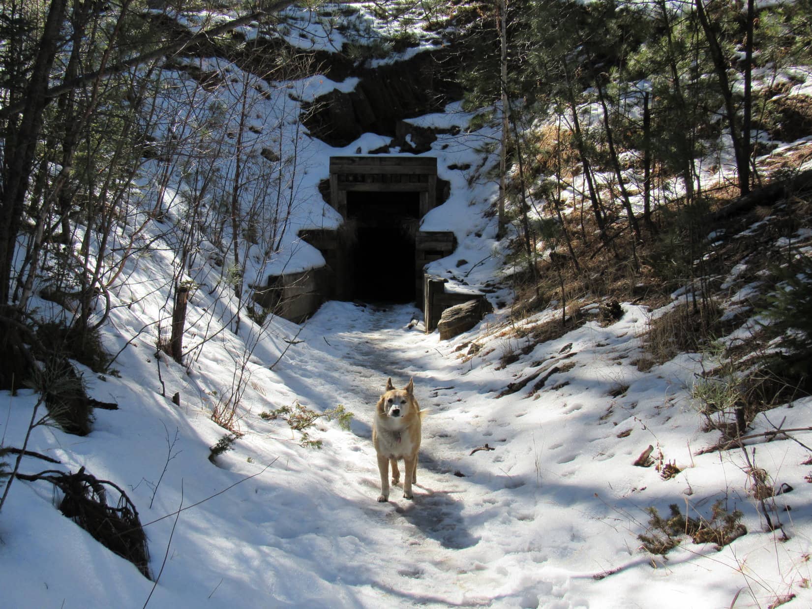
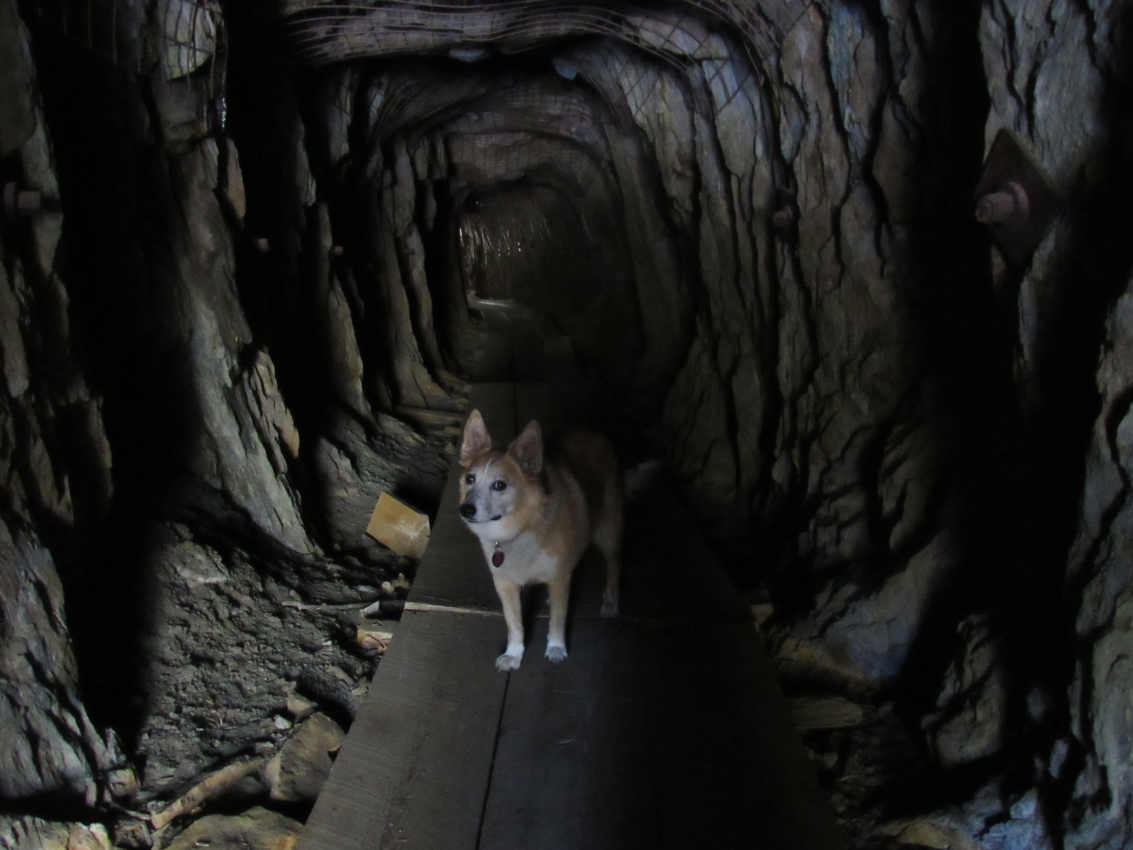
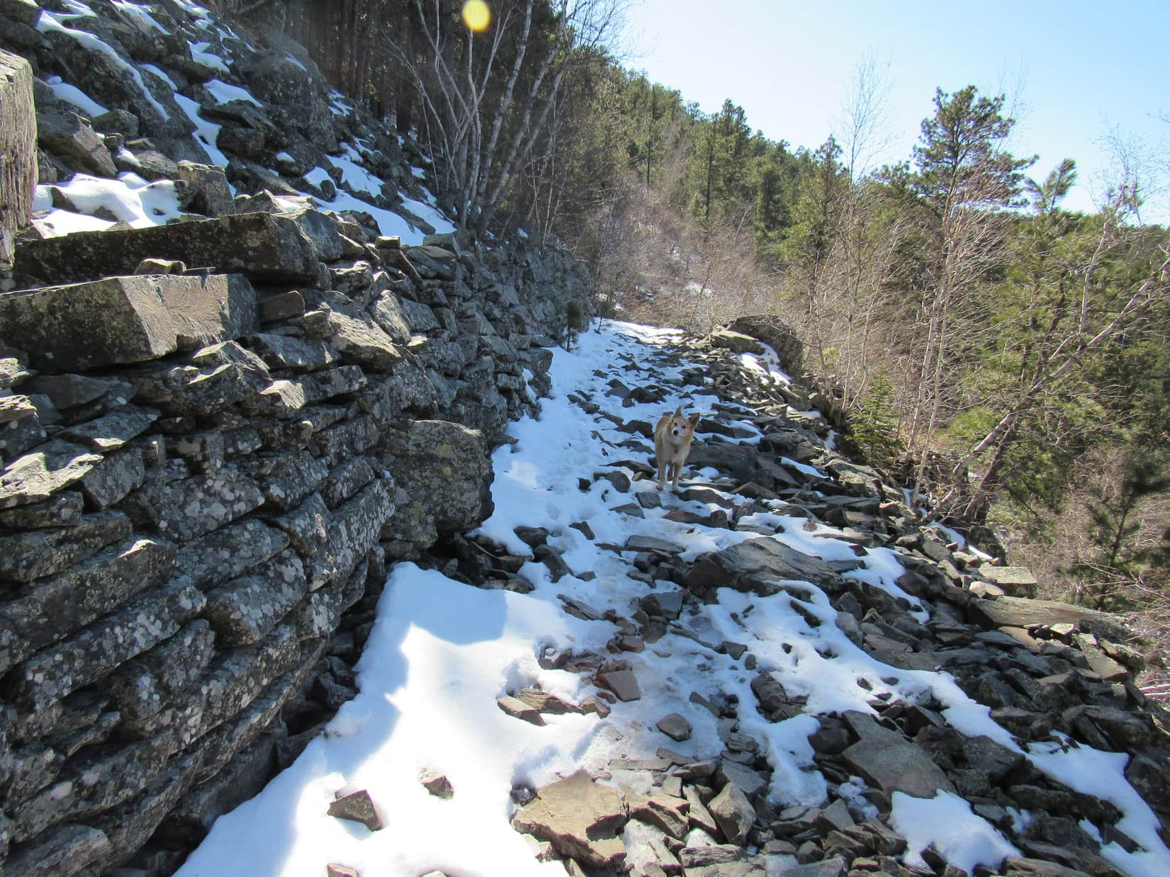
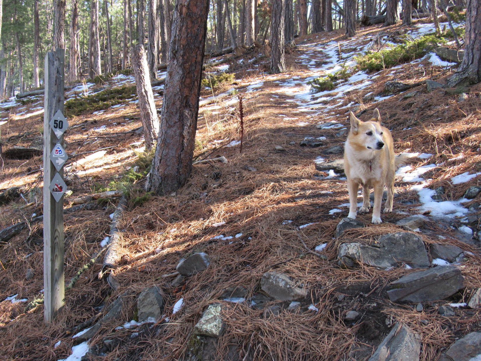
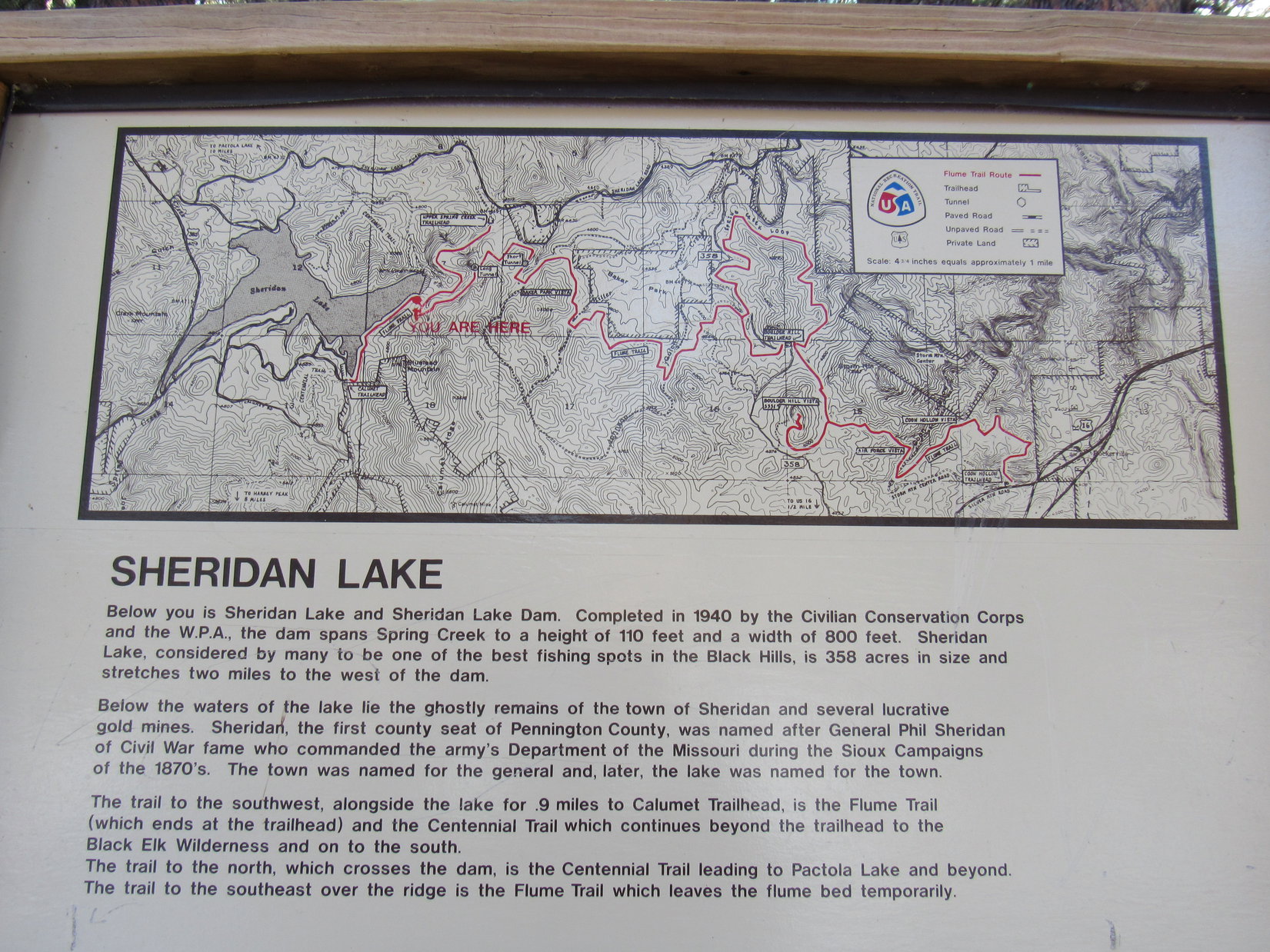
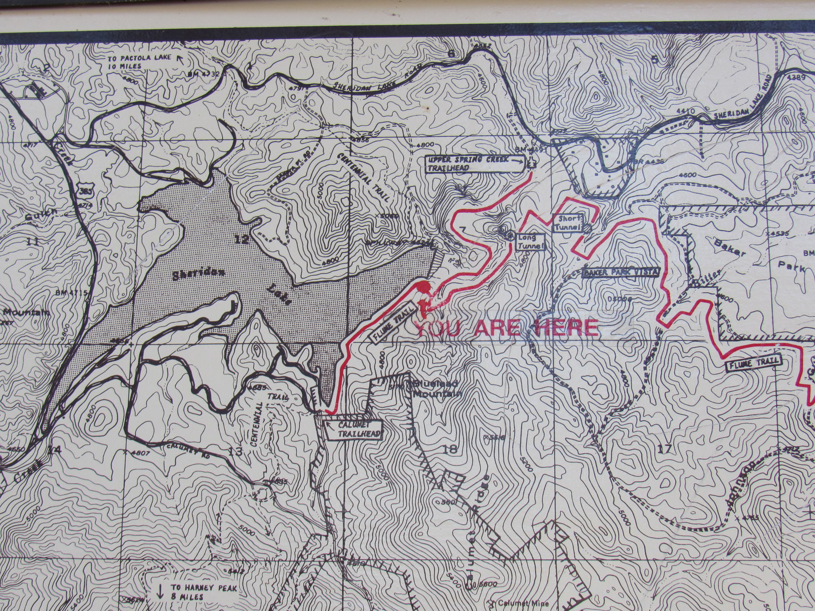
No harm done!  The Boulder Hill jaunt having taken minimal time, there was still opportunity to do a little more this afternoon.  Driving down to the official Boulder Hill trailhead less than a mile farther N, the plan was to explore part of Loop B of Flume Trail No. 50.

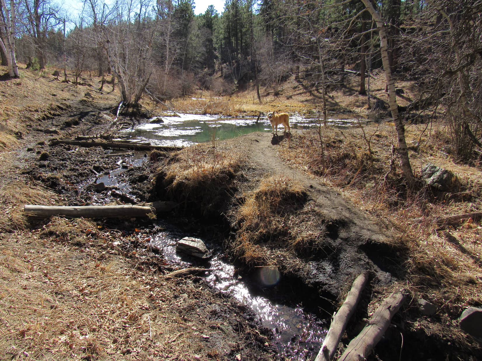
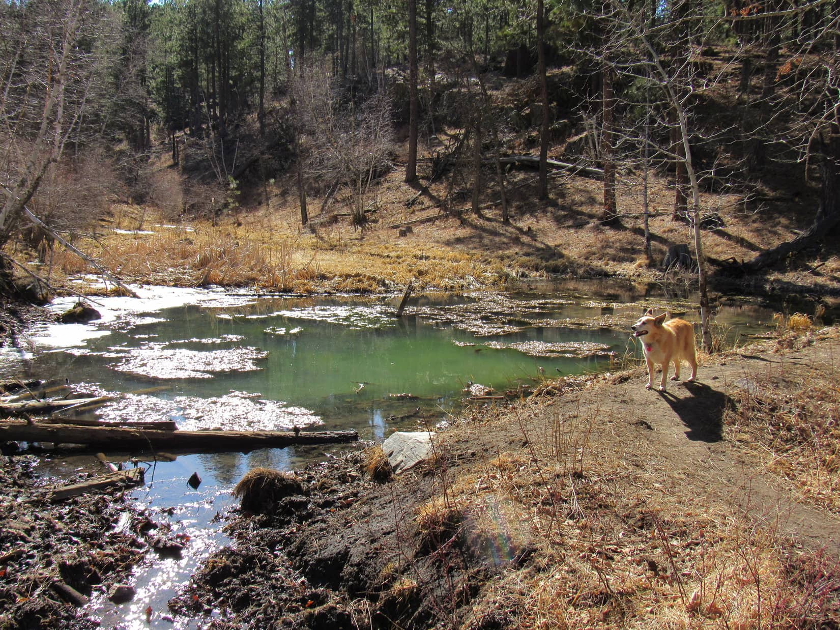
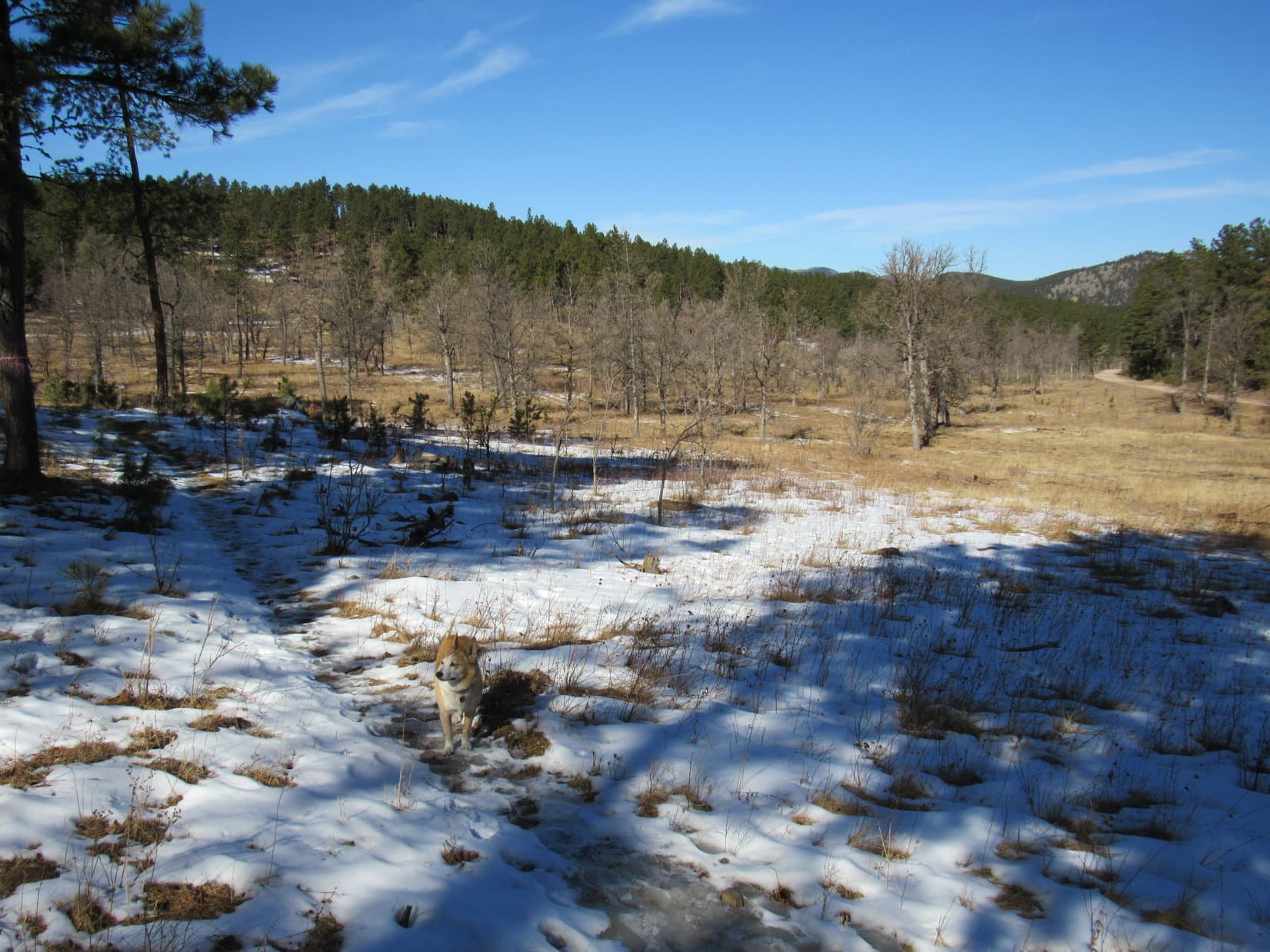
Going clockwise around the loop, everyone made it to a slimy gray-green pond on a tiny tributary of Bitter Creek.

By the slimy pond.

A few cows were standing in the muck, so Joe restrained Laddie again.  Going only a little farther before turning back, the cows moved away as Lupe and Laddie approached a second time.  Halfway back to the RAV4, a whole herd appeared moving through the forest from out of the SW.

Turned out a cowboy was rounding the cows up.  He was riding a horse that looked strangely familiar.  On his best behavior, Laddie watched the cows cross the trail, maintaining both a respectful silence and distance until they were gone.

Not a particularly long or strenuous outing, but it had nevertheless been a successful day.  Laddie was learning the ropes!  He was both surprised, and evidently quite pleased, when he was ultimately rewarded with a big bowl of the spaghetti SPHP made for dinner.

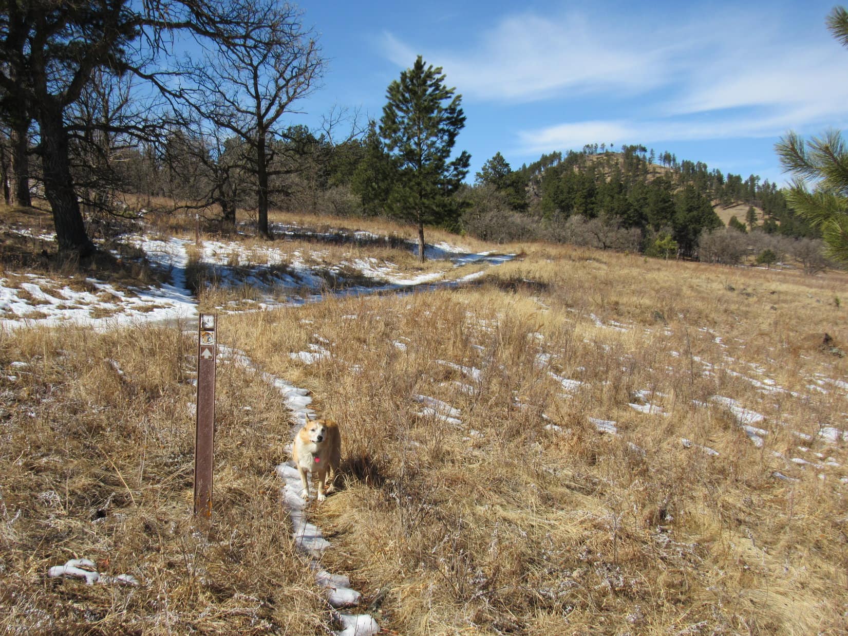
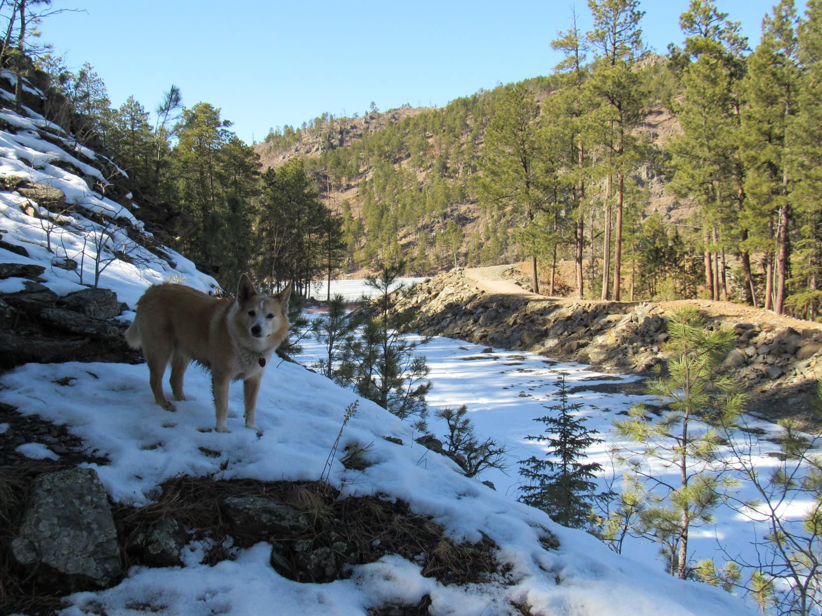
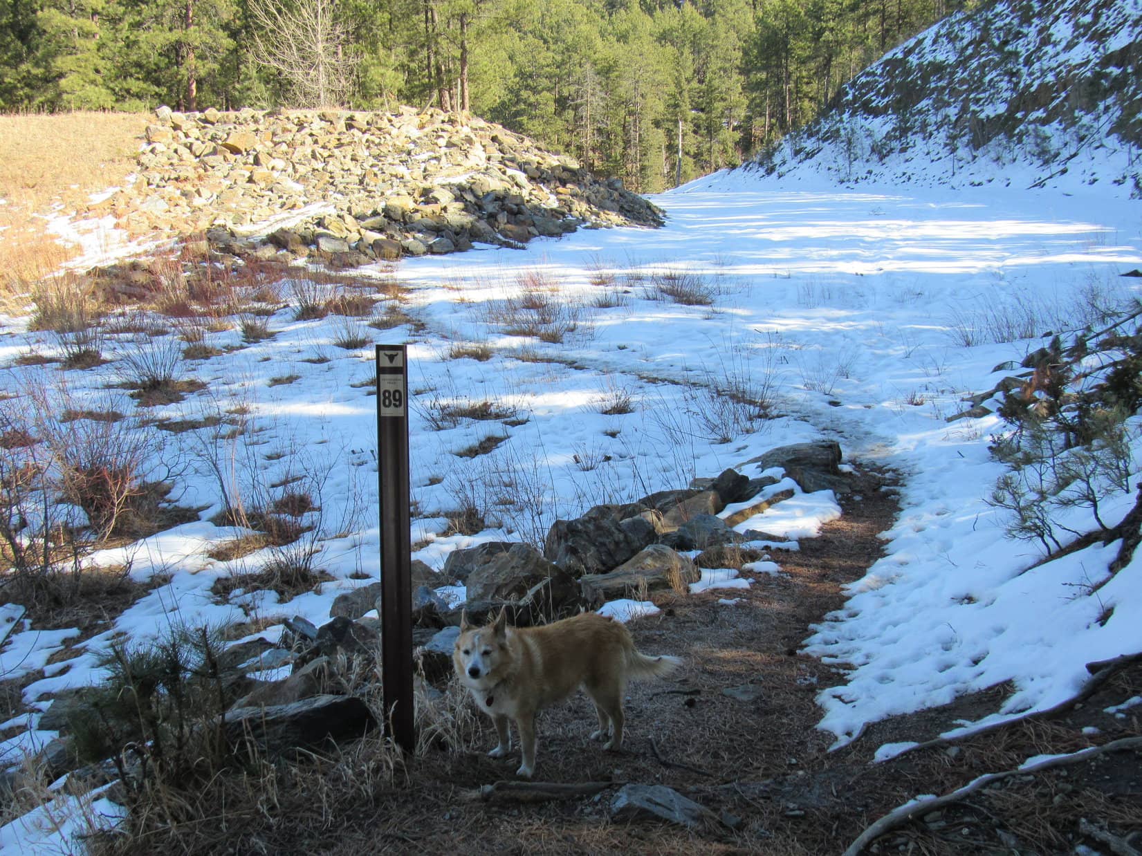
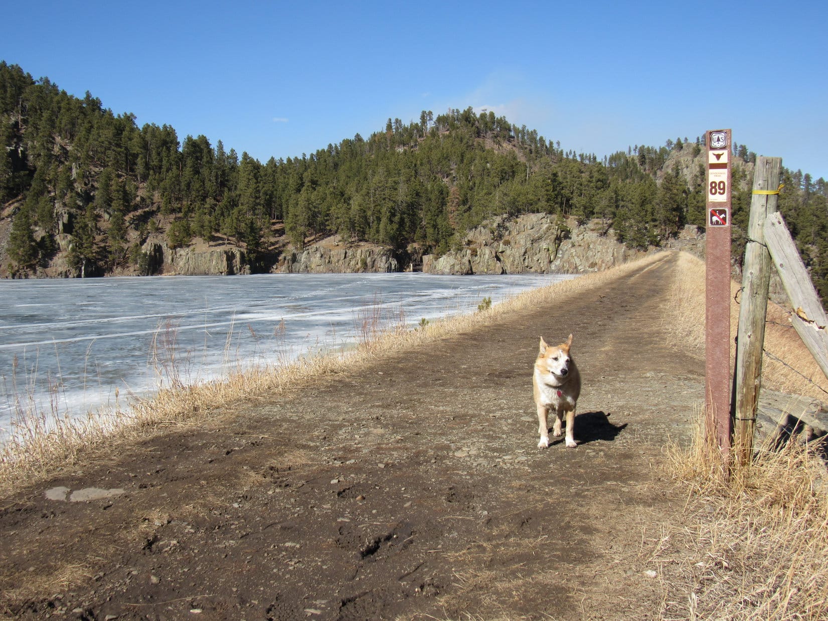
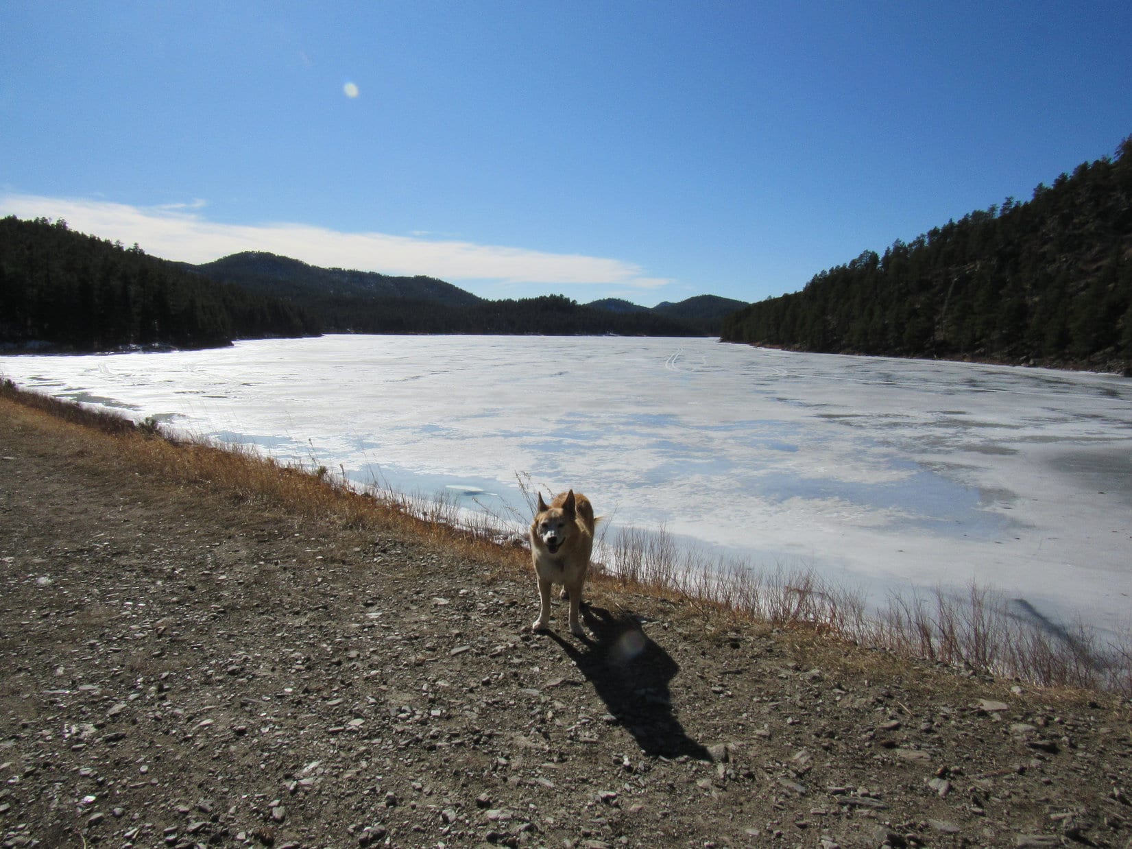
9-23-22 – A much nicer day!  Only partly cloudy, and considerably warmer.  Still a rather leisurely start as everyone piled out of the RAV4 at Legion Lake shortly before 11:00 AM.  A jaunt along Centennial Trail No. 89 was the intended order of the day.

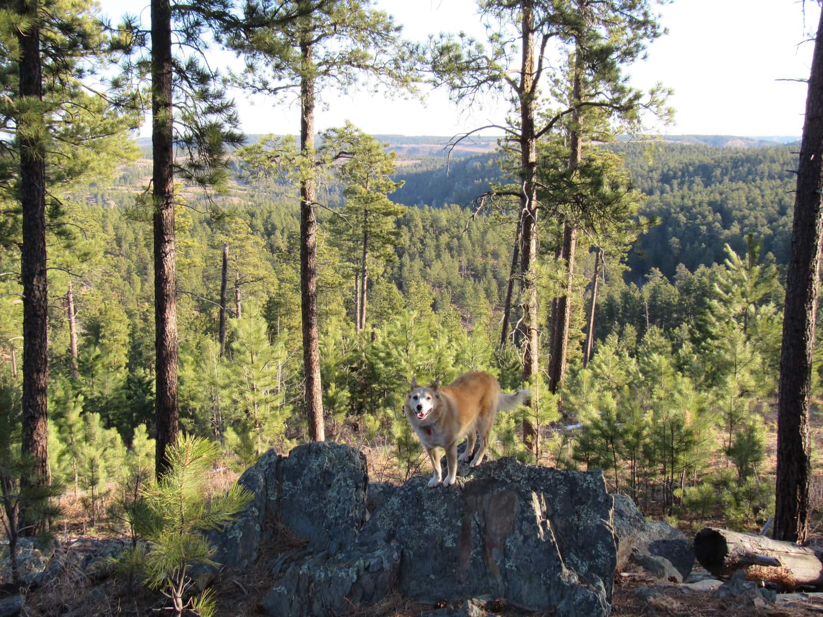
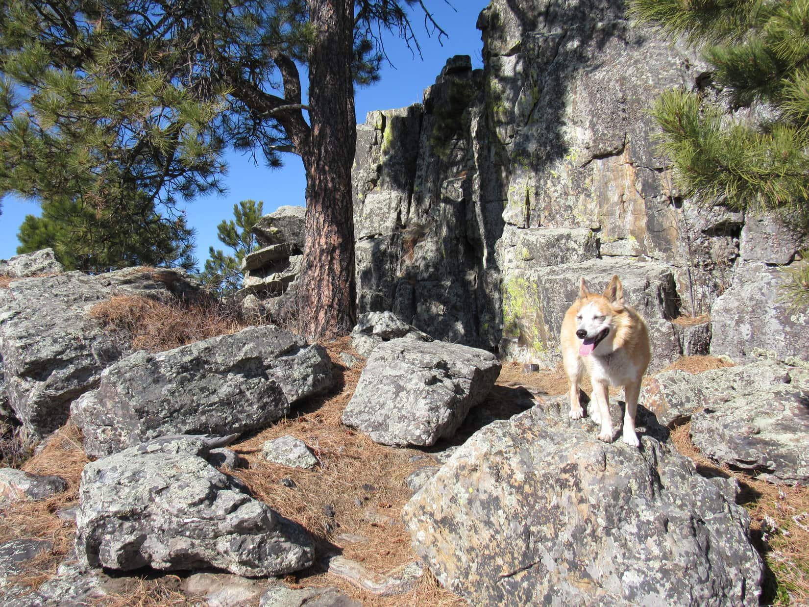
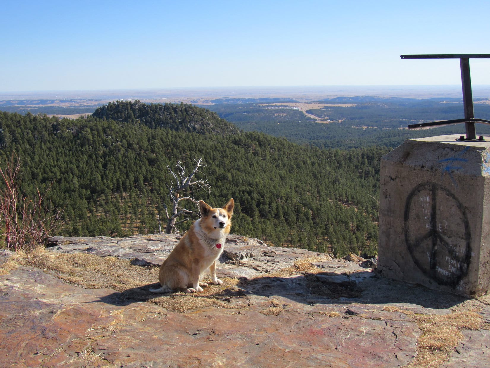
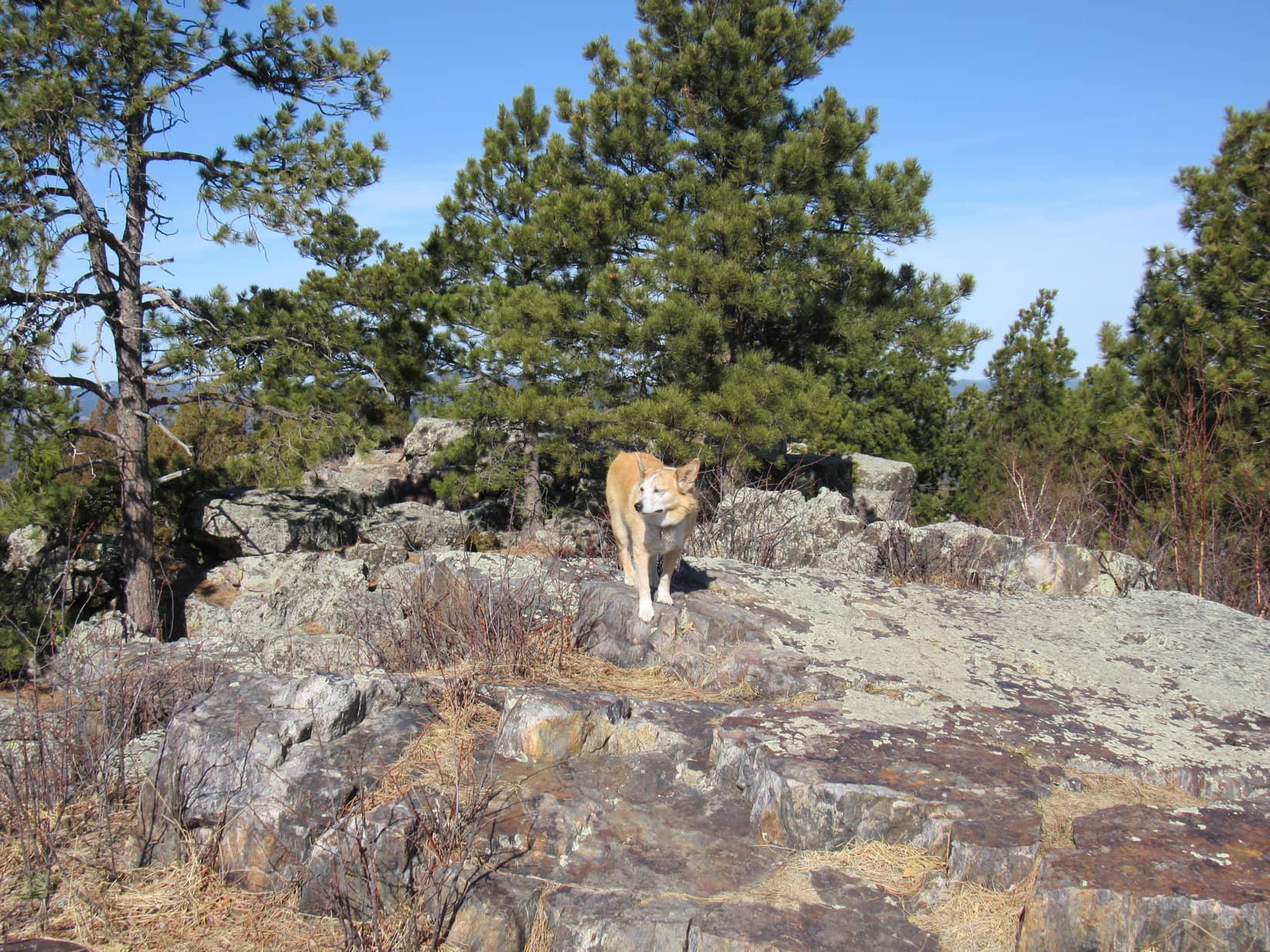
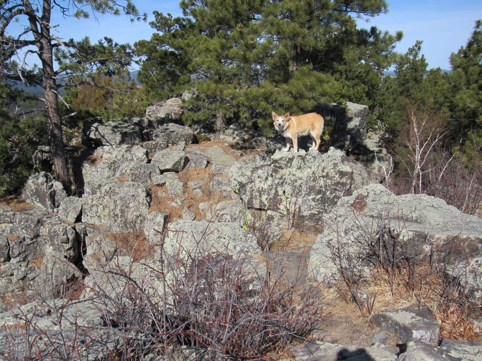
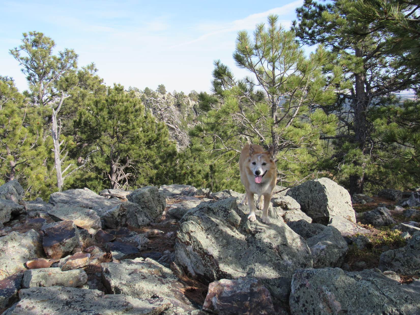
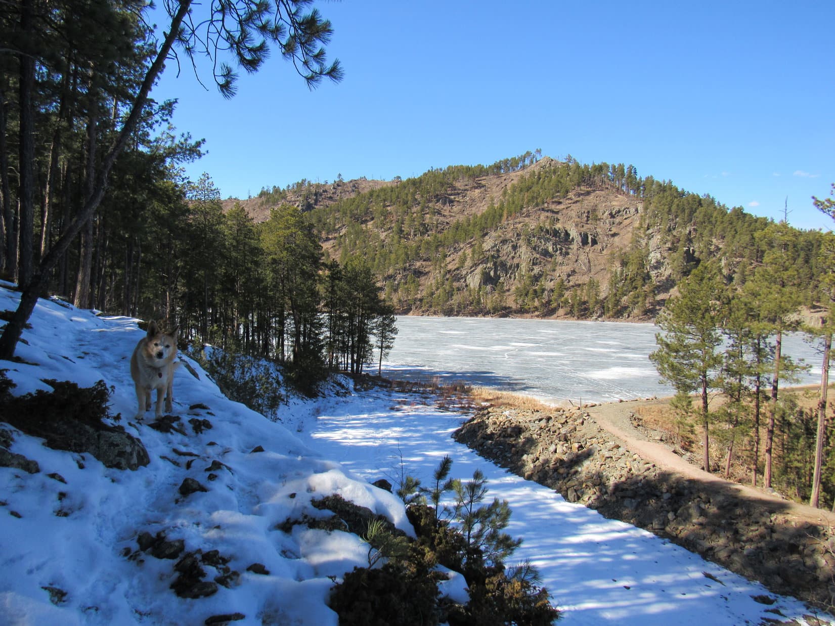
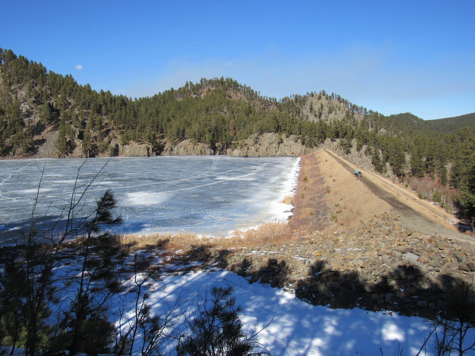
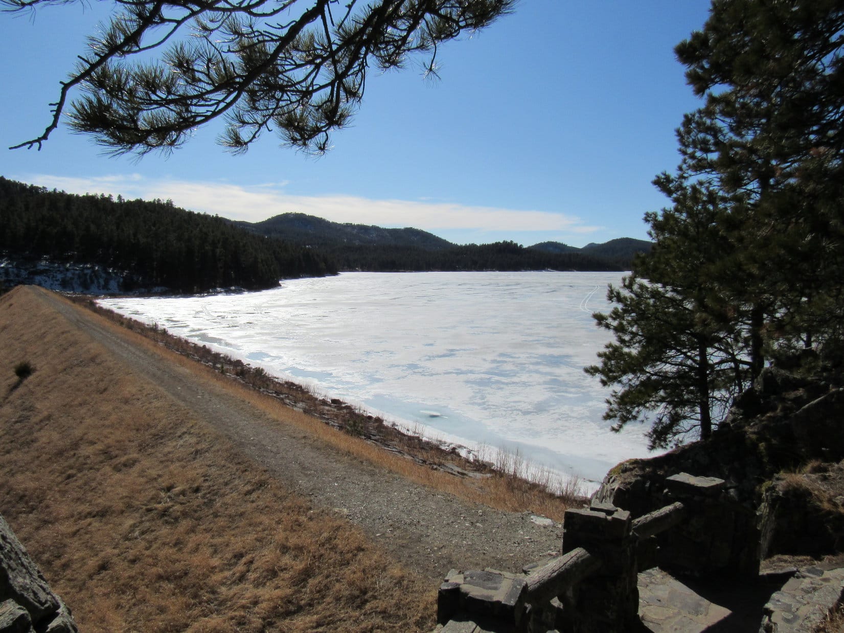
Since the Centennial Trail’s Badger Hole trailhead was a 0.25 mile SE of Legion Lake down the Galena Creek valley, Lupe and Laddie started out following another trail circling the lake’s W and S shores to get to where the creek leaves the E end of the lake.  This was the long way around, but in the process, they got to cross the dam along the W shore, and had an opportunity to do a short quick scramble up to a viewpoint provided by a large rock formation overlooking the lake’s S shore.

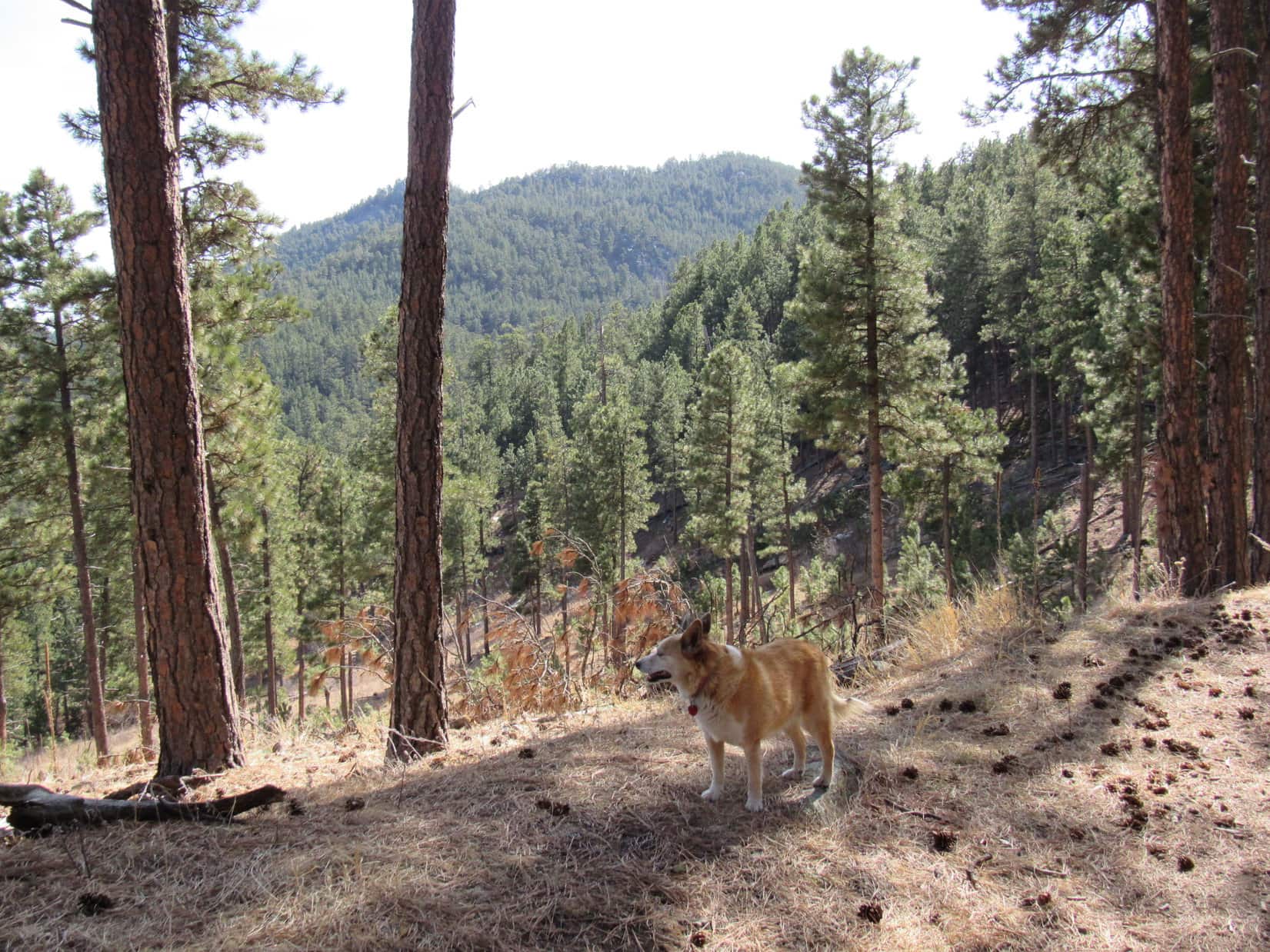
After yesterday’s Boulder Hill experience, Laddie had no problem with this scramble, although he wasn’t cooperative as far as posing for SPHP up at the viewpoint.  Loopster filled in for him, since she loves posing!

Crossing the Legion Lake dam. Photo looks SE.
Joe and Lupe up on the rocky viewpoint that was just N of the trail. Newly confident scrambler Laddie’s already somewhere up there, too. Photo looks NE.
Looking WNW back toward the dam.
A wider view of Legion Lake. Photo looks NW.

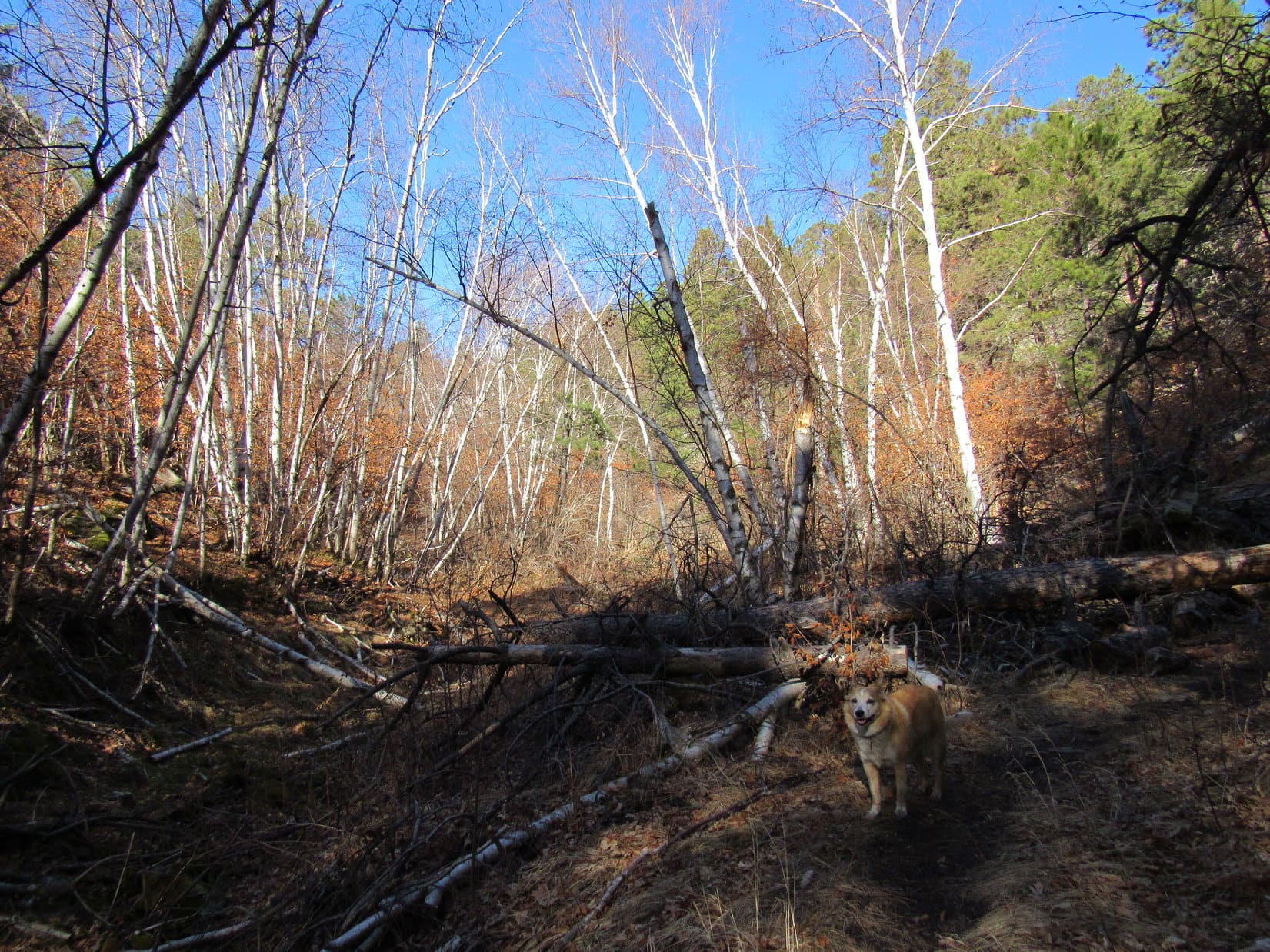
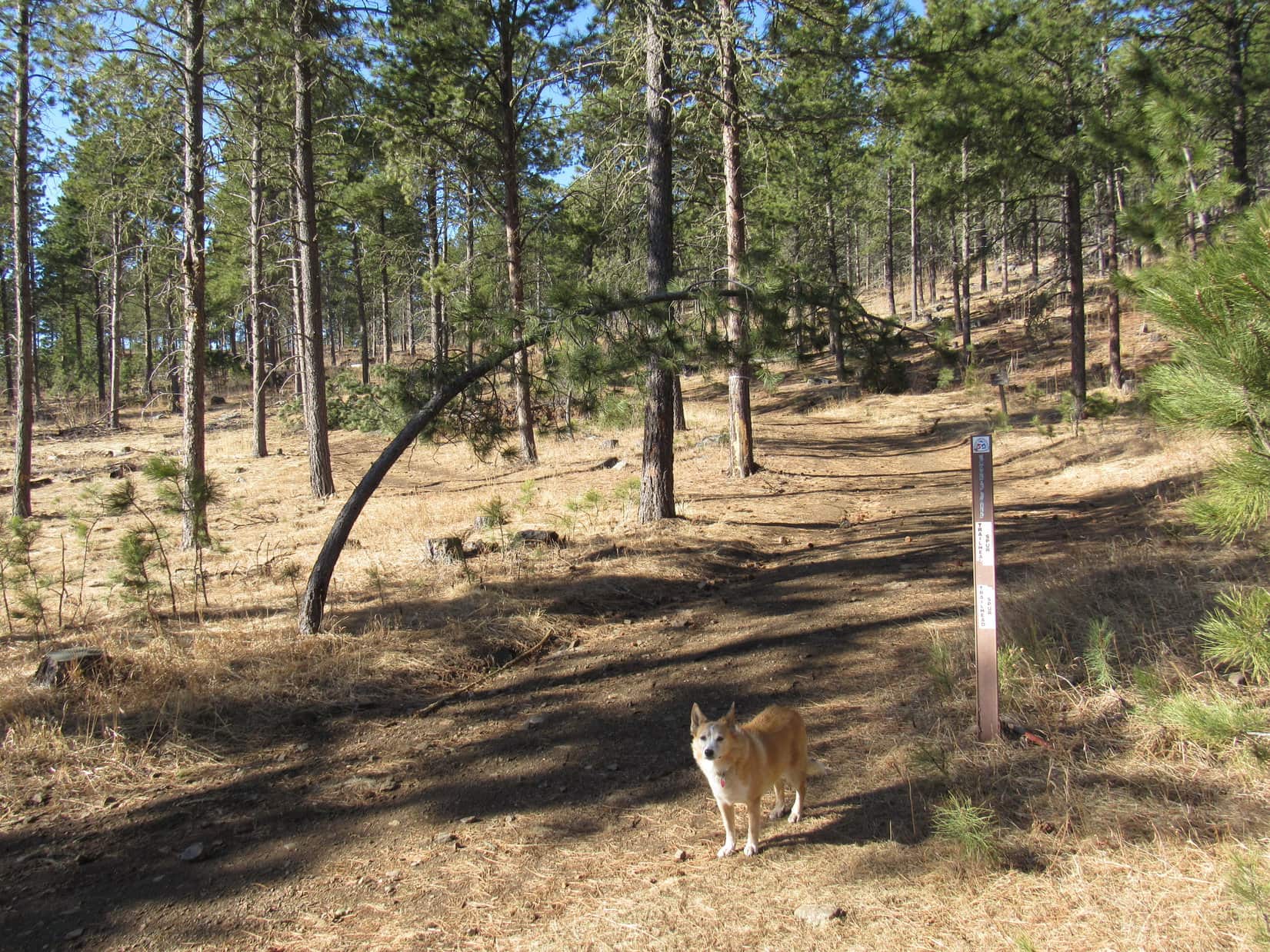
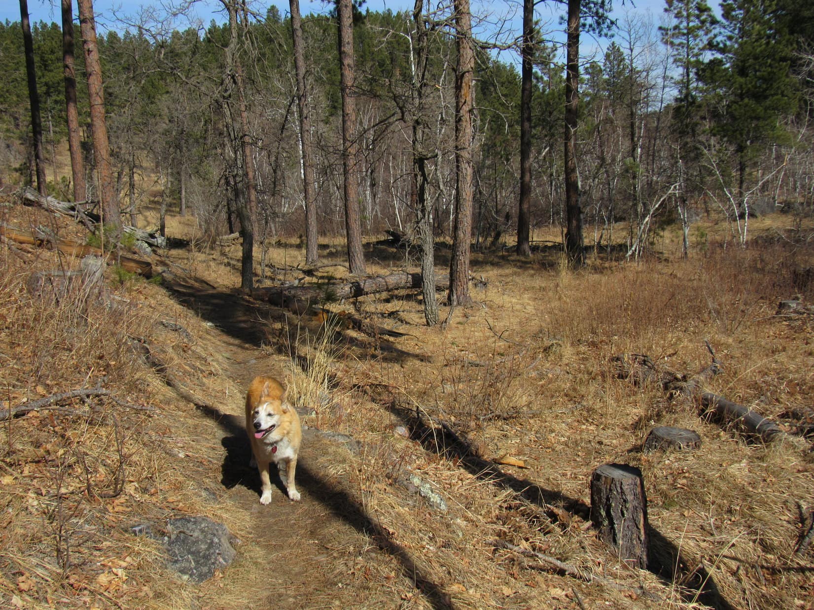
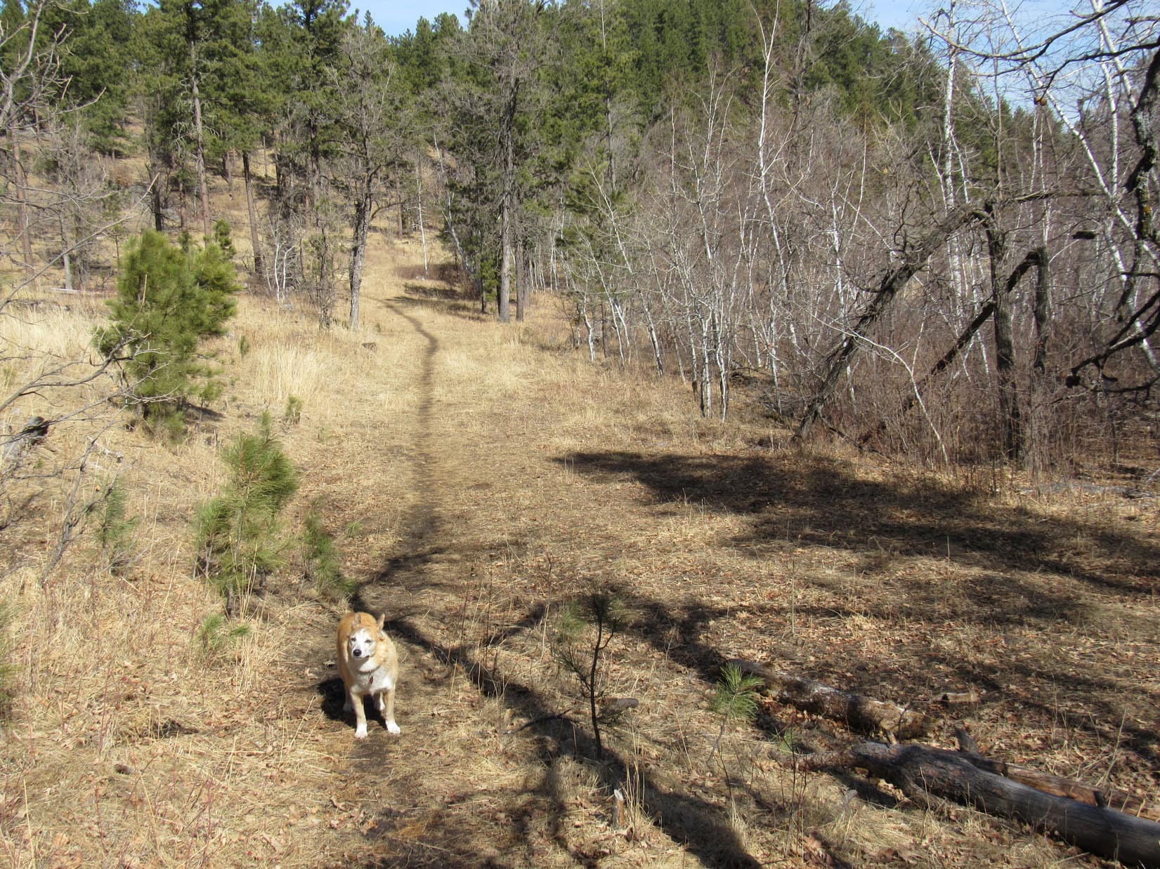
The trek down the Galena Creek valley was a mere road hike.  Upon reaching the Badger Hole trailhead, a single track spur went SW up a shallow, forested valley to the main Centennial Trail No. 89 N/S route.

About to leave the Badger Hole trailhead. Photo looks SSW.

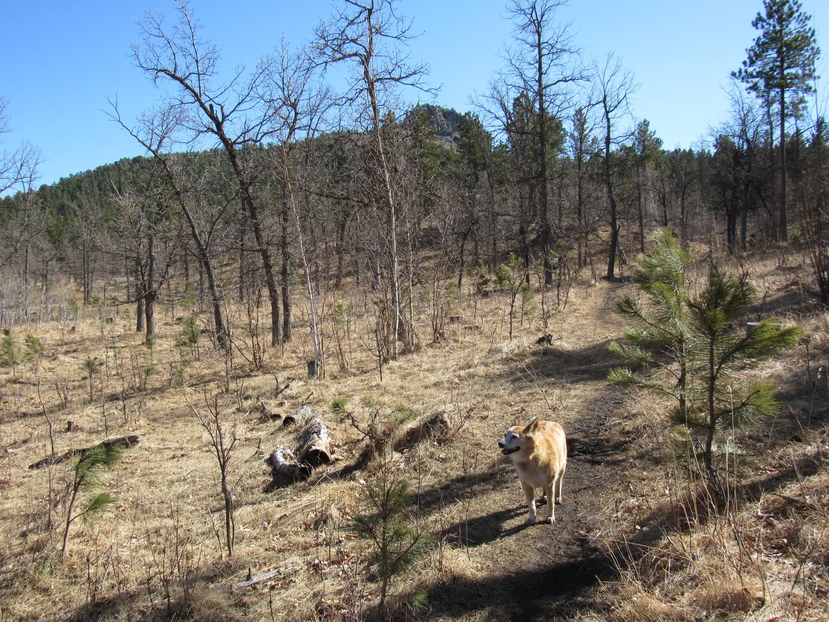
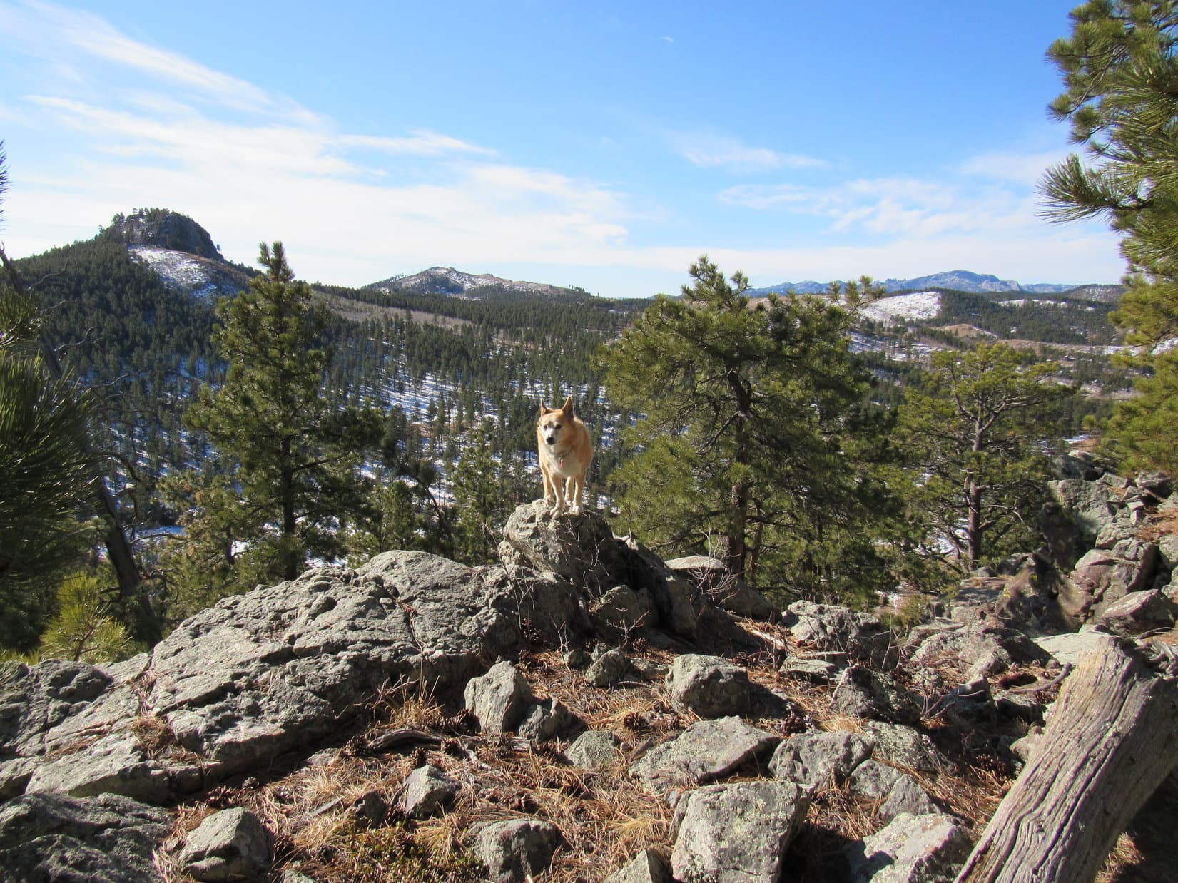
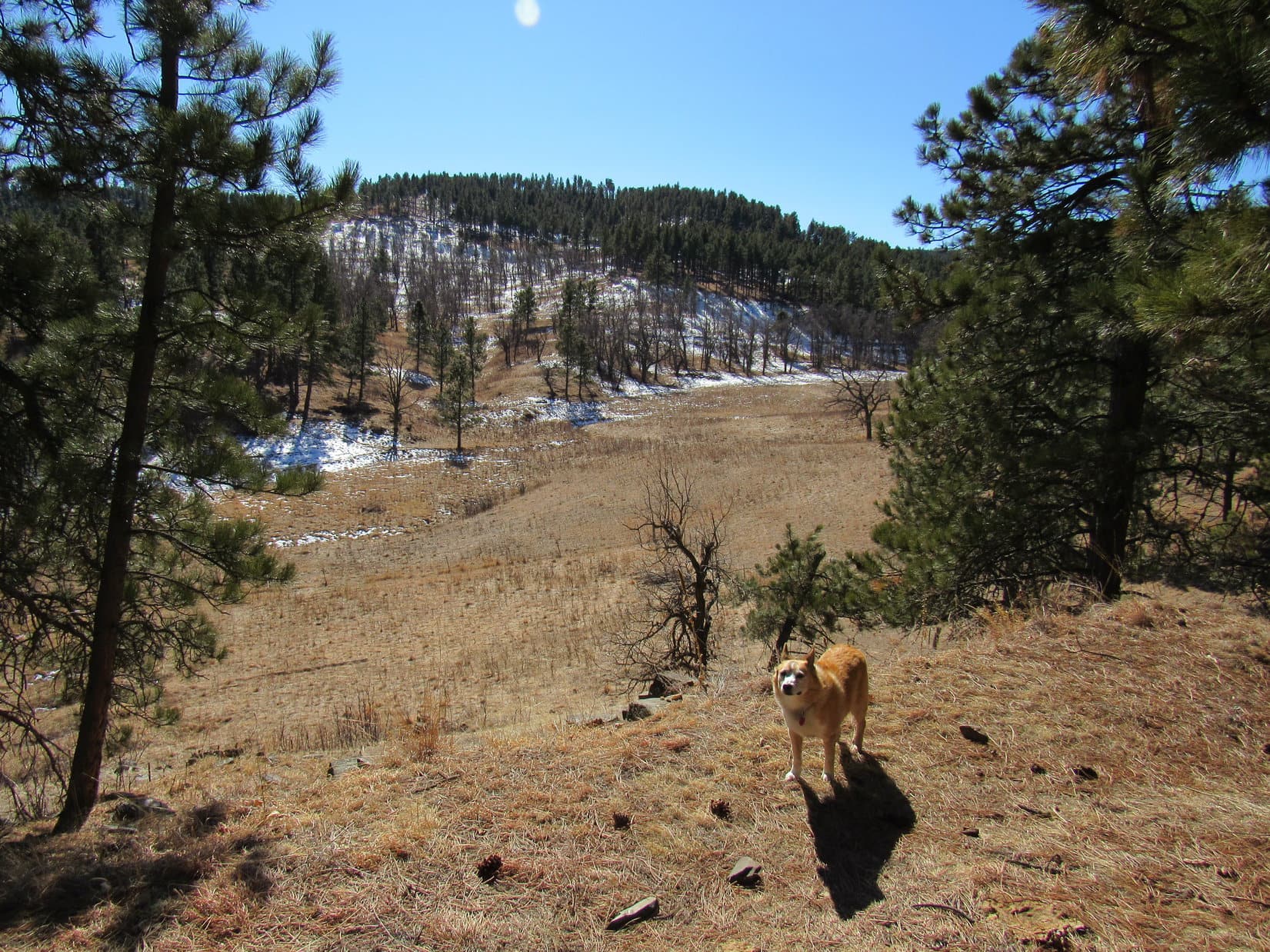
At the intersection, Lupe and Laddie turned L, taking the route S.  The trail steepened somewhat as it continued SW up the valley.  Still forested at first, a more open region of tall grass was soon reached.  The lower NE slopes of Mount Coolidge (6,023 ft.) were now in sight directly ahead.

Centennial Trail No. 89. Lower NE slopes of Mount Coolidge ahead. Photo looks SW.

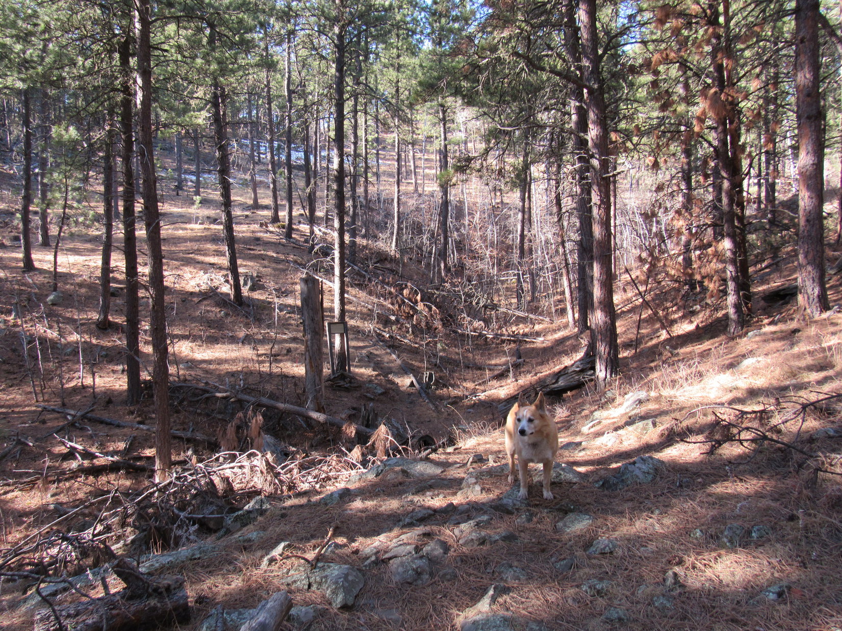
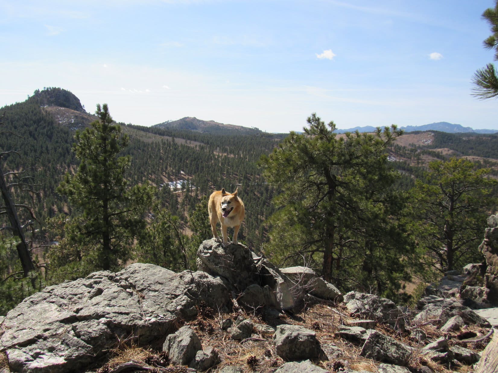
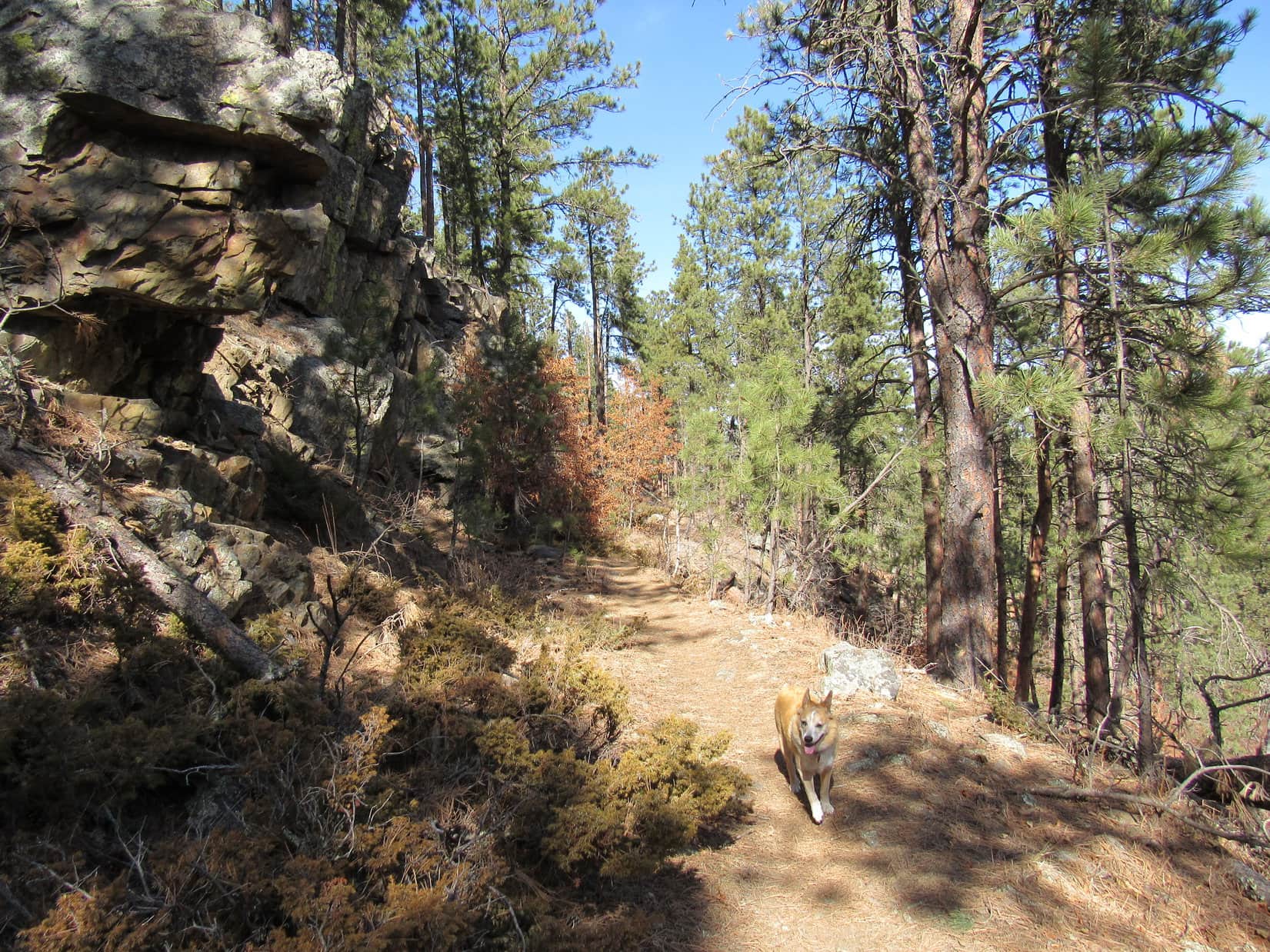
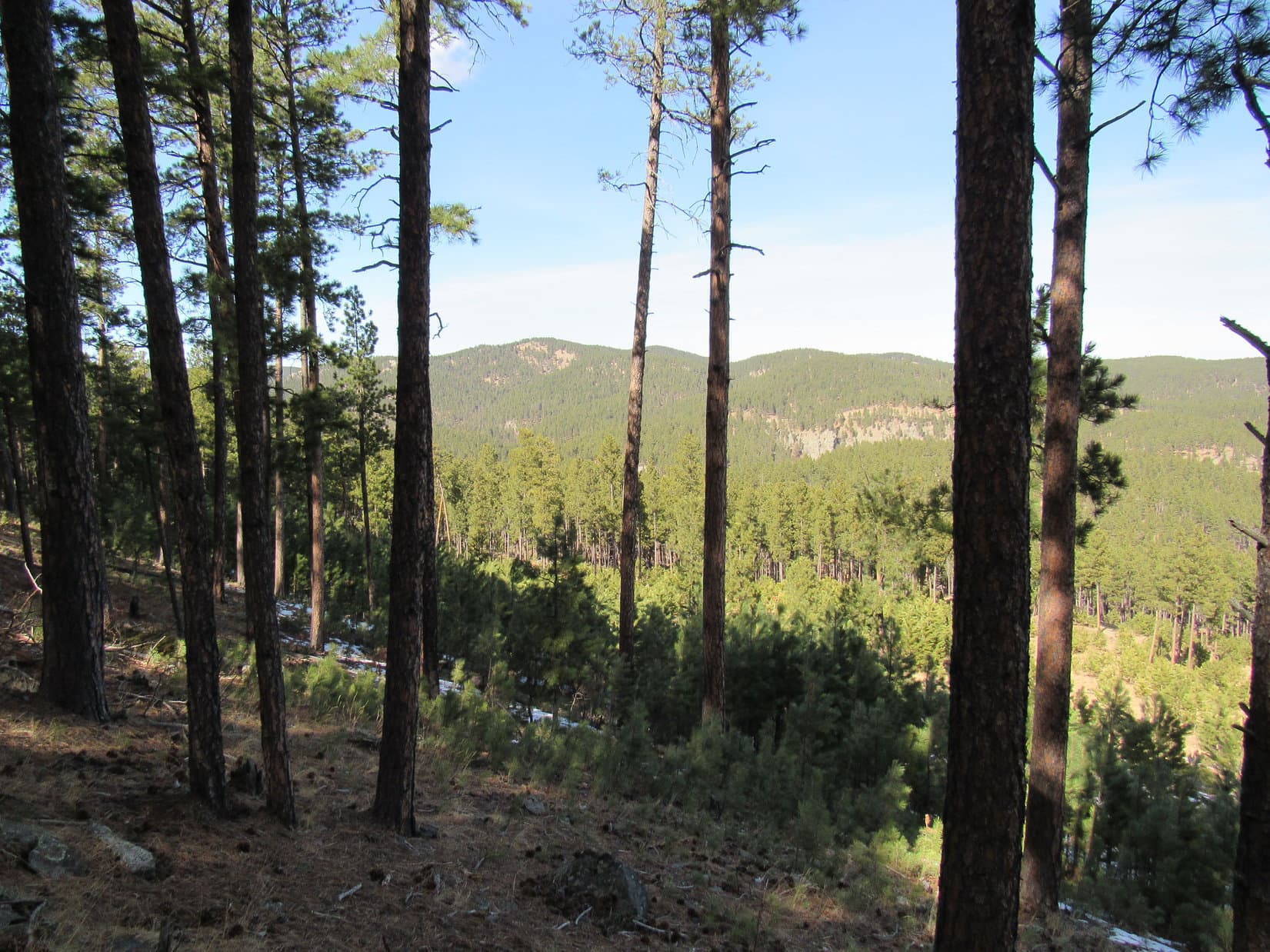
Continuing toward Mount Coolidge, the trail began curving S, becoming rocky and quite a bit steeper before leveling out at Pass 5180.  Heading ESE from here, the trail was flat for a little way.  This elevated stretch was more scenic, offering views of nearby rock formations, plus a great look at Peak 5440 off to the NE.

At Pass 5180. Peak 5440 (Center). Photo looks NE.

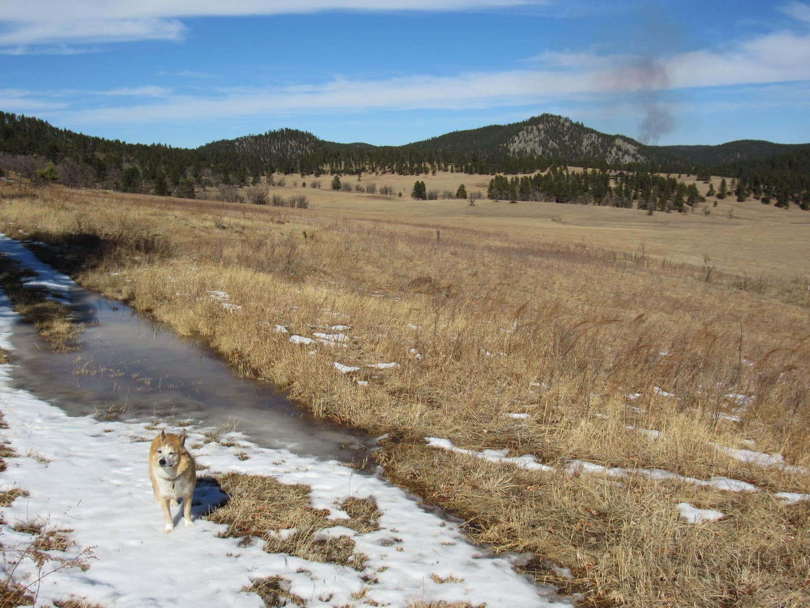
After passing some smaller rock formations offering viewpoints, the trail turned S, heading steeply down into the next valley.  This descent was eroded and quite rocky.  When reached, the broad valley floor was a mix of meadow and open forest.  The trail turned E here, paralleling a tiny tributary of Galena Creek that was completely dry.

In the next valley to the S. Photo looks W.

The valley was flat, a nearly effortless trek on a pleasantly warm, sunny day.  After going E for a while, Centennial Trail No. 89 curved SW prior to looping most of the way around a small hill.  Uncle Joe was starting to think this was about far enough.

Before turning back, a break was taken on the little hill.  Joe shared some beef jerky, a treat eagerly accepted by one and all.  Apples, water, and a chocolate coconut bar SPHP offered to Lupe and Laddie were also a hit.

Break time up on the little hill before turning back.

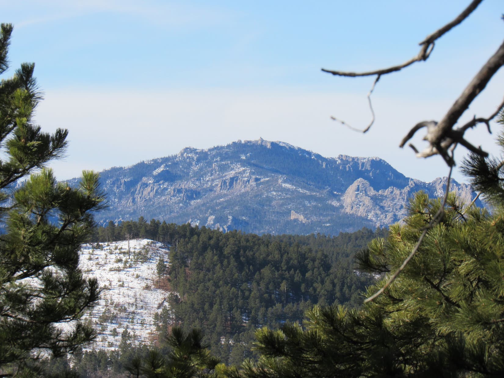
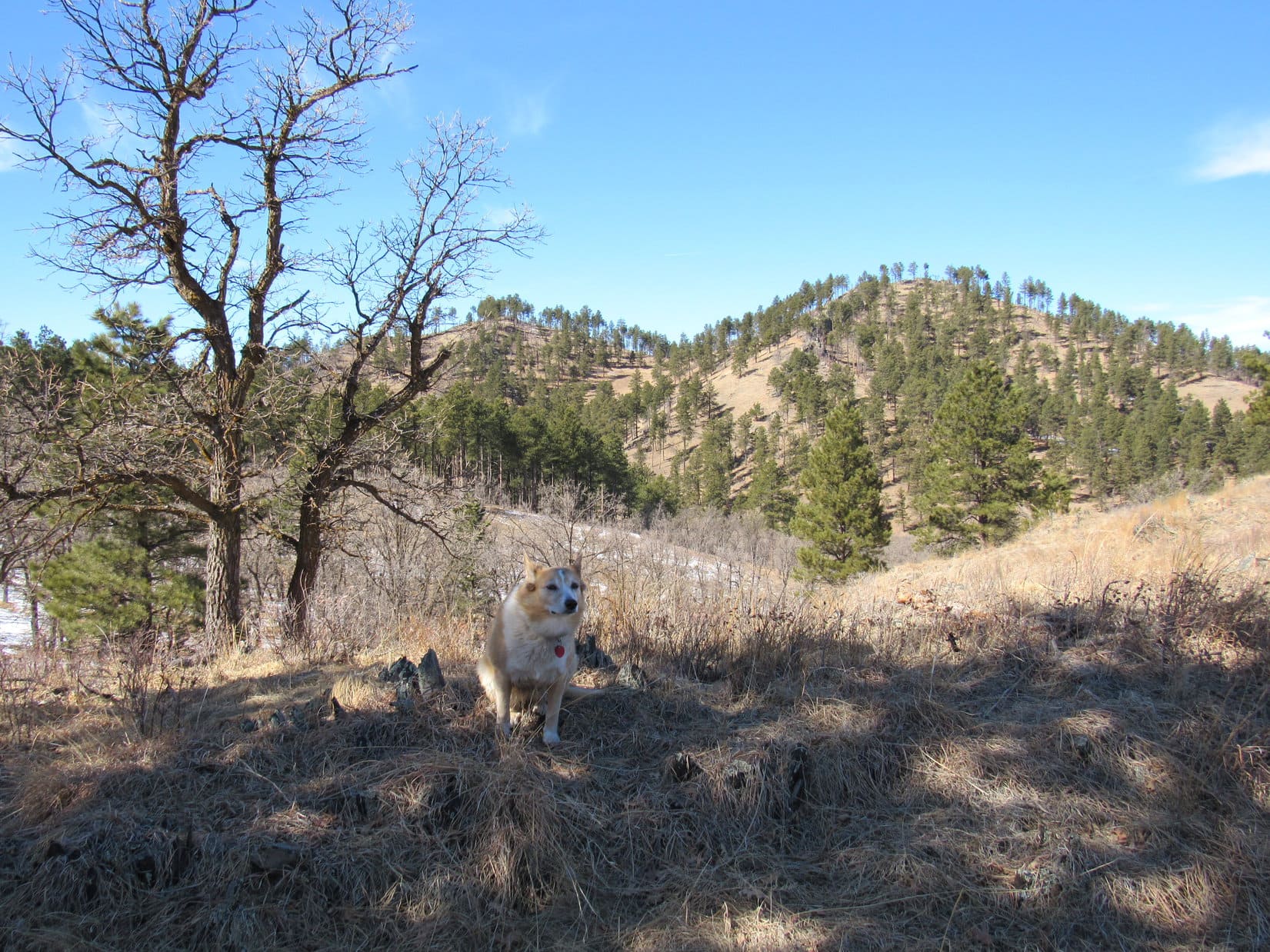
During the return, a few minutes were spent exploring some of the smaller rock formations in the Pass 5180 region.  Several towers on Mount Coolidge were visible from here.

Mount Coolidge (Center) from Pass 5180. Photo looks WSW.

In all the times Joe and Dusty had been to the Black Hills, they’d never been to Mount Coolidge (6,023 ft.).  A newcomer in just the past year, Cousin Laddie had never been there, either.  Once back at Legion Lake, SPHP suggested making the drive to the fire lookout tower.  Joe agreed.

The winding gravel road to the summit was much busier than SPHP ever dreamed it would be.  Arriving at the parking lot on top, a small crowd was streaming to and from the lookout’s viewing deck.  Although it had been a nice, sunny day down at Legion Lake and along Centennial Trail No. 89, a 40 mph wind was roaring out of NW up here.

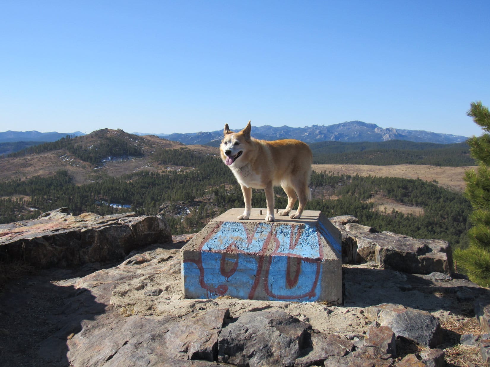
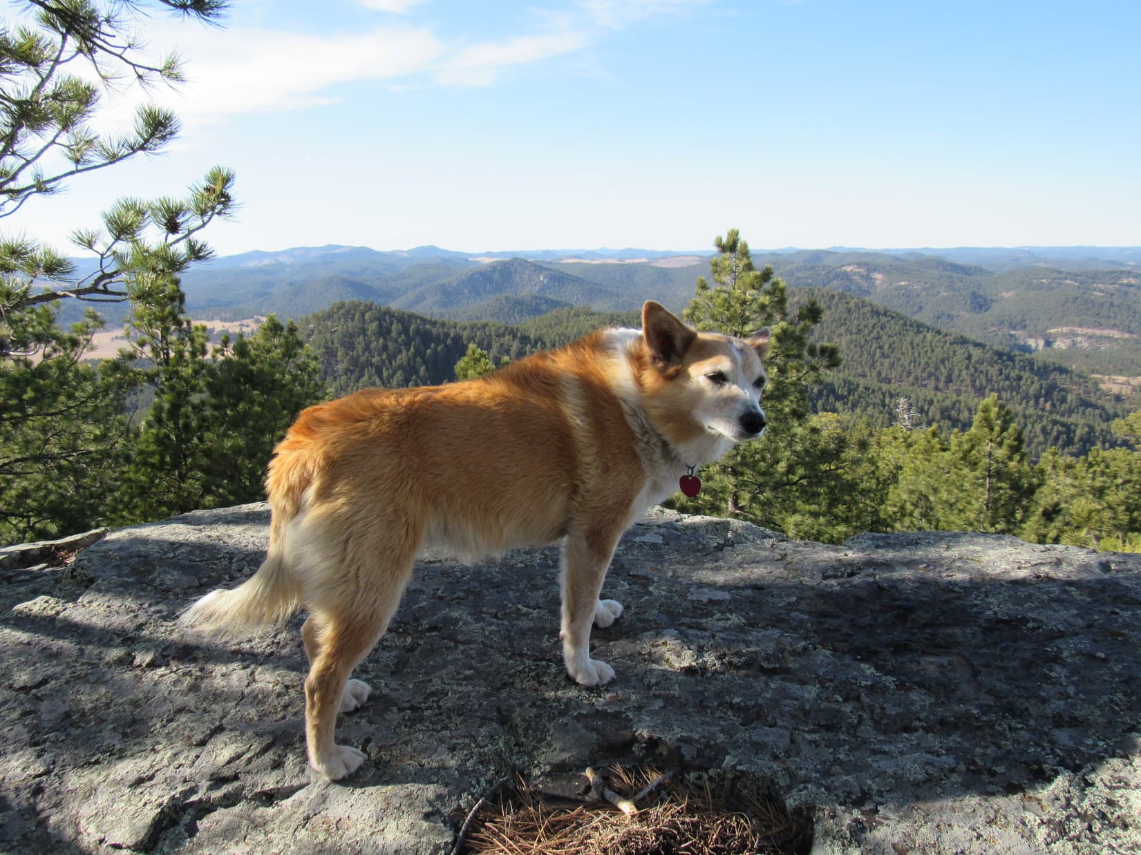
By Black Hills standards, Mount Coolidge offers some pretty impressive panoramic views.  With the unexpected gale creating such an ominous, eerie moan among the various towers, Mount Coolidge seemed like a much more formidable and higher peak than it really was.  Joe decided Cousin Laddie ought to stay in the RAV4 rather than risk being blown right off the mountain.

Lupe wasn’t worried by the wind.  She didn’t want to miss out!  Crazy Horse, Sylvan Peak (7,000 ft.), Black Elk Peak (7,231 ft.), and many other notable high points were in sight, along with a vast expanse of western South Dakota plains beyond the Black Hills.

Mount Coolidge lookout tower. Photo looks SSW.
Joe up on the viewing deck. Black Elk Peak (L) on the horizon. Photo looks N.
Sylvan Peak (Center) and Little Devils Tower (far R) in the distance. Photo looks NW.

Up in the roaring wind, Mount Coolidge made quite an impression on Joe.  He’d never really experienced the Black Hills quite like this.  Even SPHP was surprised.  Cousin Laddie had completely missed out on the highlight of the day!

Laddie begged to differ, though, after SPHP later offered him a big bowl of sloppy joe meat for dinner.  Unsure of it at first, after just a couple of bites, Laddie was a believer, requesting and receiving a second helping!

9-24-22, 10:42 AM – Joe parked the RAV4 at the Lakota Lake picnic ground, then sauntered over to the little lake for a look.  A light breeze rippled the surface of this glorified pond beneath a thinly overcast sky.  Big rock formations were visible over on the far shore near the dam.

The Lakota Lake picnic ground off Iron Mountain Road. Photo looks NW.
Lakota Lake. Photo looks E.

Like Legion Lake yesterday, Lakota Lake was merely a starting point, not the focus of today’s outing.  The main event was going to be a trek up Iron Creek Trail No. 15.  To get to the trailhead, everyone set off heading SW along the picnic ground access road, which overlooked a skinny arm of Lakota Lake that extended nearly all the way back to Iron Mountain Road.  Crossing the highway, the trailhead was found on the other side.

Loop at the start of Iron Creek Trail No. 15. Photo looks SW.

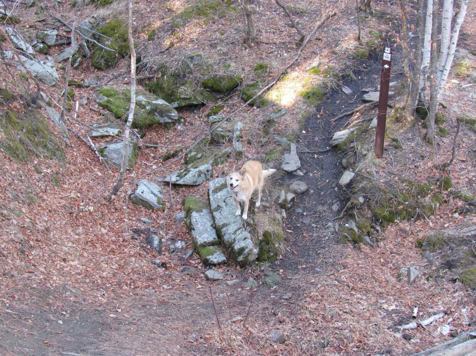
Although Iron Creek Trail No. 15 was only going to wind gradually up the Iron Creek valley, a bit of Black Hills adventure dog training was in store for Cousin Laddie.  The trail would cross Iron Creek 11 times over just a couple of miles.

Reaching the first crossing immediately beyond the trailhead, Laddie was uncertain what to do.  Iron Creek had some flow, but was running low this time of year.  With encouragement from Joe, Laddie managed to ford the stream, while Joe rock-hopped it with ease.  Having been here before, Lupe and SPHP crossed on a narrow plank bridge.

Past the equinox, it was officially early autumn now.  The leaves on the trees were just beginning to turn.  As the trail wound its way W up the Iron Creek valley, there were some pretty spots.  Laddie forded a couple more creek crossings before attempting to use the plank bridges.  Soon he was crossing them with confidence.

Early autumn along Iron Creek Trail No. 15.
Taking advantage of one of the plank bridges over Iron Creek.

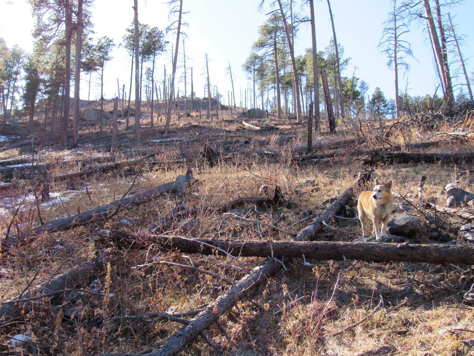
Towering rock formations were soon visible way up on the S side of the valley.  They were part of the E end of Woodpecker Ridge (5,680 ft.).  Lupe had been up there once upon a time.  Horrid deadfall was what SPHP remembered, but there had been some worthwhile views, too.

Part of Woodpecker Ridge (Center). Photo looks SE.

All seemed to be going perfectly well, when Joe suddenly announced deep concern over the amount of poison ivy along the trail.  He was soon pronouncing the poison ivy collection along Iron Creek Trail No. 15 the most extensive he’d ever seen.  Knowing he was quite susceptible to it, having suffered through poison ivy infections before, Joe seemed on the verge of wanting to beat a hasty retreat.

Fortunately, Joe stuck with it.  Continuing on, the worst of the poison ivy was left behind.

On a late September weekend, Iron Creek Trail No. 15 was surprisingly busy.  Quite a few other canines were out exploring with their humans.  Two in particular had some rather Old West names.  Lupe and Laddie got to meet an Australian Shepherd named One-Eyed Jack, and a Husky named Outlaw.  Jack actually had 2 eyes.

Farther upstream, the bridges got better.  Instead of mere planks, several were regular footbridges with railings.  The upper end of the Iron Creek trail wasn’t much farther.  Rather than a complete dead end, the trail led to a gravel road.  Continuing a little farther, this road went past the Iron Creek Summer Home Group, a collection of classic, rustic cabins.

One with a sign saying “Minnelusa” looked particularly sweet.

The Minnelusa cabin. Iron Creek flows right behind it.

0.75 mile from Iron Creek Trail No. 15, Iron Mountain Trail No. 16 would leave this same road, eventually intersecting a spur of Centennial Trail No. 89 leading to the Iron Mountain picnic ground.  A bushwhack clear to the top of Iron Mountain (5,445 ft.) itself is possible from there.

Eh.  More than Uncle Joe wanted to take on.  Shortly before reaching Trail No. 16, it was time to turn back to rerun the poison ivy gauntlet.

Heading back to Lakota Lake. Part of Woodpecker Ridge (R). Photo looks SE.

Cousin Laddie got to visit Iron Mountain, anyway.  On the way back to Hotel Lupe, Iron Mountain Road went practically right over the top of it.  A quick stop to enjoy a terrific view of both Black Elk Peak (7,231 ft.) and Mount Rushmore (5,725 ft.) was the highlight of the day.

Black Elk Peak (L) and Mount Rushmore (R) from Iron Mountain. Photo looks WNW.

Well, except for Cousin Laddie, who was anxiously looking forward to a heaping helping of SPHP’s spaghetti or sloppy joes this evening.  SPHP didn’t disappoint.  Laddie got 2 big bowls of spaghetti.

9-25-22 – Cousin Laddie had one more day in the Black Hills, but Uncle Joe wasn’t going to be available.  He and Andrea were taking Grandma down to Mush and David’s 40 acre ranch in the southern hills for a visit.  Mush and David’s dog, Chewy, was easily bigger than both Lupe and Laddie put together, much stronger, younger, and very territorial.

To prevent any possible tragic outcomes, SPHP stayed home with Laddie and Lupe.  After 3 days running of adventures in the hills, that was fine with both of them.  So, a leisurely day was spent at Hotel Lupe.  Sloppy joes were once again served for dinner, much to Laddie’s delight.

9-26-22 – Sadly, it was time.  Bright and early, Uncle Joe, Aunt Andrea, and Cousin Laddie hit the road home to Colorado.  Laddie’s Black Hills adventure training had gone just fine, and the cuisine at Hotel Lupe had apparently been among the best he’d ever experienced.  His Black Hills visit had been a big success.

Sure was fun, SPHP!  Hope they’ll be back again sometime soon!

Indeed it was, Looper!  Realistically, though, I doubt they’ll be back until sometime next spring.

Oh, that’s too bad!  Makes me wonder, though.

Wonder about what, Loop?

Any spaghetti or sloppy joes left?

Hah!  Fat chance!  Not when Cousin Fuzzy Caterpillar has been around.  About time you got back on your Taste of the Wild diet, anyway.

Well, shucks!  Now I really am sad that they’ve left.

I thought you liked Taste of the Wild, Loop?

Oh, I do!  But it isn’t spaghetti or sloppy joes!

On Iron Mountain with Black Hills adventure Sheltie Laddie, and Uncle Joe, 9-24-22

Links:

Next Black Hills Expedition               Prior Black Hills Expedition

Want more Lupe adventures?  Check out Lupe’s Black Hills, SD & WY Expeditions Adventure Index, Master Adventure Index, or subscribe free to new Lupe adventures!

Black Hills, SD Expedition No. 268 – Flume Trail No. 50: Coon Hollow to Boulder Hill & Loop B (3-7-21)

7:14 AM, 42ºF, Coon Hollow trailhead off Silver Mountain Road

Flume Trail No. 50 again, SPHP?

Yes, indeedy, Looper!  We’ll finish it up today!

With a little peakbagging on the side, I suppose?

You know it!  After all, you’ve got your reputation to think of.

At the Coon Hollow trailhead near Rockerville.

This plan met with instant approval.  And why not?  Carolina Dogs aren’t picky about outdoor adventures, as long as there are some.  Flume Trail No. 50 would be easy, and climbing a mountain or two along the way would provide a Dingo’s-eye view of the scenery.

Ready when you are! C’mon, let’s go!

Flume Trail No. 50 set out heading NW along the side of a pine-forested slope, but soon curved NE down into Rockerville Gulch.  A little stream at the bottom was covered with ice so thick it even supported SPHP.  Crossing the stream, the trail went N to a steep, rocky slope.

Entering Rockerville Gulch. Photo looks NNE.
Already, a rare steep spot along Flume Trail No. 50! Photo looks NNW.

Not much of a climb at all!  Steep, but short.  The trail didn’t even go to the top of the ridge.  Instead, halfway up, it turned E and leveled out.

Lupe could have save a bunch of distance by simply continuing N up and over the ridge, which wouldn’t have been hard at all.  Flume Trail No. 50 was going to wind around the entire E end of the ridge before turning W, but the American Dingo was here to enjoy the trail, so she stuck with it.  Didn’t take too long to get about as far E as the trail was going to go.

At the E end where the trail starts winding N. Photo looks NW.

The E end of the ridge was broad and gently sloping.  The trail curved N, and wound along it in that general direction.  Before long, Lupe reached a cut where the trail made a sharp turn W.  The cut was a sure sign she had reached part of the original 1880 Spring Creek to Rockerville flume bed that the trail was named after.

At the cut. Photo looks W.

After going through the cut, Flume Trail No. 50 wound a little farther N, before finally making a decisive turn W.  For the first time, Lupe had a distant view only partially blocked by the pines.  Mostly just forested hills no higher than where she was now, but it was something.

Beyond the cut. Photo looks NW.
First distant view. Photo looks NNE.

Storm Hill’s E ridge, a more impressive sight, came into view only a few minutes later.

Storm Hill’s E ridge. Photo looks WNW.

Heading W, Flume Trail No. 50 led to a dirt road, which apparently also served as a mountain bike trail.  On the far side of the road, some of the rock work of the old flume bed was on display.  After crossing the road, Lupe came to a particularly rocky stretch that was pretty much intact.

On the edge of the flume bed after crossing the dirt road.
An impressive rocky stretch of the 1880 flume bed. Photo looks NW.

Before long, the Flume Trail turned SW traversing fairly steep SE slopes of the Coon Hollow valley.  Still following the 1880 flume route, the trail itself remained almost perfectly level the entire time.  Soon another road could be seen down in the valley.  Just before the trail met up with it, the pine forest gave way to a grove of aspens.

Heading into Coon Hollow. Photo looks SW.
Doesn’t get much easier than this, does it? Photo looks SSW.
We’ve reached the aspens in Coon Hollow! Photo looks SW.

USFS Road No. 676 was a much better road than the first one Flume Trail No. 50 had crossed.  40 feet downhill, a brown wand and a “50” diamond on an aspen tree showed where the trail continued on the other side.

After crossing USFS Road No. 676 (R), the trail goes off to the L here. Photo looks N.

Now on the NW side of Coon Hollow, Flume Trail No. 50 headed NE.  The trail remained flat, but the hillside it was traversing was much rockier and even steeper than on the other side of the valley, almost a cliff.  In some places, parts of the old flume bed had collapsed.

On the NW side of Coon Hollow. Photo looks N.
Scenic, but don’t step off the edge! Photo looks NE.

The flume bed suddenly ended at a knob of rock.  The trail climbed 20 feet up to Air Force Vista.  An old trail system map, yellow with age, but still legible, was posted here.

Air Force Vista display.
Closer look at the relevant part of the map.

Air Force Vista wasn’t much of a viewpoint.  No doubt the trees had grown up over the years.  However, a narrow opening between the pines still provided a distant view to the NE.

So, this is it! The big view from Air Force Vista! Photo looks NE.

From Air Force Vista, the trail bent sharply SW along the side of a small, rocky ridge, and soon turned NW going over it.  Dropping back down to the old flume bed, which reappeared on the other side, the trail headed W into a side canyon off Coon Hollow.  An enormous, nearly vertical rock formation on the N side of this canyon was hard to miss.

Back to the flume bed in the canyon W of Air Force Vista. Photo looks WNW.
Impressive rock formation on the N side of the canyon.

Before long, the flume bed once again came to an abrupt end at a point overlooking a 15 foot dip into a little drainage.  The flume bed actually continued over on the N side of the canyon, but wasn’t in sight from here, and wasn’t where Flume Trail No. 50 was headed anyway.

In the drainage where the Flume Trail left the flume bed.

After crossing the dip, the Flume Trail continued W up the canyon.  Lupe passed through a woods still sporting autumn’s dead brown leaves, and came to a tiny stream where she got a cold drink.

In the autumn brown woods.

Crossing the stream, Lupe followed the trail higher.  The canyon became a gentler valley, gradually widening out as the American Dingo gained elevation.  Loop came to a sign of the style found at Air Force Vista that spoke of an old log bridge, but virtually nothing was left of it.

Heading up the valley. Photo looks W.
Approaching the “Log Bridge” sign (L of Center) in the upper valley. Photo looks SW.

In the broad upper end of the valley, the Flume Trail reached a dirt road which led almost immediately to an intersection.  The main trail headed NW from here, still climbing as a single track.  The other choice was to follow the dirt road SW up to a gently sloping saddle.

At the intersection, looking up the dirt road. Photo looks WSW.

I presume we’re climbing Boulder Hill this time, aren’t we, SPHP?

Spot on, Looper!  Take the road.

Heading for Boulder Hill! Photo looks SW.

This intersection was only 0.25 mile E of Boulder Hill (5,331 ft.), but the Flume Trail spur to the summit wrapped 0.9 mile clear around the S side of the mountain to approach it from the SW.  The first part of the spur followed the dirt road over the saddle that was already in sight.  150 yards down the other side, Lupe reached a wand and a 50 diamond marking the point where the spur left the road as a single track.

Turn R here! Photo looks SW.

The spur trail was easy going until Lupe got clear around to the SW side of the mountain.  It then turned NE directly up a grassy slope passing through open forest.  Moderately steep, but no worse than that.

Shortly before reaching another dirt road, Loop discovered an enormous squirrel tree.  An absolute giant for a ponderosa pine!  The squirrel was so high that the Carolina Dog quickly gave up barking at it as an exercise in futility.

The massive squirrel tree.

Upon reaching the road, Lupe followed it around a bend.  It promptly ended at the base of Boulder Hill’s rocky summit.  The spur trail angled off toward the S end of the summit ridge, turning N almost as soon as Loop started climbing.

At the base of Boulder Hill’s rocky summit. Photo looks NNE.

The ascent was fun!  A nice route wound among big rocks with views at every turn.

“Dingo Gap”. Photo looks E.
A rocky ramp. Photo looks N.
Close to the top. Photo looks NW.

The Boulder Hill (5,331 ft.) summit region consists of 2 separate rock platforms almost equally high separated by a minor dip 30 or 40 feet wide.  Lupe checked out the sunny S platform first, where the views were unobstructed except to the N.

Silver Mountain (5,405 ft.) and more distant Black Elk Peak (7,231 ft.) were the big attractions, but Storm Hill’s E ridge with the prairies of western South Dakota miles beyond it was interesting, too.

Silver Mountain (L) and Black Elk Peak (R). Photo looks SW.
Silver Mountain. Photo looks SSW with help from the telephoto lens.
Black Elk Peak. Photo looks SW with help from the telephoto lens.
Storm Hill’s E Ridge (L of Center). Photo looks ENE.

Break time!  Before checking out the N platform, SPHP decided an apple had to go bye-bye.  Lupe wasn’t interested in that, but made certain she got her fair share when SPHP brought out a chocolate coconut bar.

Once the chocolate coconut bar was gone, Loopster was ready to move on, too.  She posed briefly atop the otherwise unremarkable rock that SPHP considered Boulder Hill’s true summit and another one at the N end of the S platform, then ventured over to the N platform.

At Boulder Hill’s scintillating true summit. Photo looks NNW.
On the N rock of the S platform. Photo looks NW.

The N platform had more trees, but fewer distant views.  With lots more of the Flume Trail to explore, Lupe didn’t stay long.  She did have a look around, though, before saying sayonara to Boulder Hill.

On Boulder Hill’s N platform. Photo looks NW.
“Boulder” survey benchmark.
The survey benchmark is visible toward the R. Photo looks SE.
A glimpse of the S platform (Center) from the N one. Photo looks SE.

Retracing her entire route along the Boulder Hill spur, Lupe returned to the intersection with the main Flume Trail.  A relatively short uphill trek got Loop to the crest of a pass to the NW.  Downhill all the way from then on for nearly 0.5 mile to the Boulder Hill trailhead.

Gotta admit that’s a mighty nice view of Black Elk Peak! Descending Boulder Hill. Photo looks SW.
Back on Flume Trail No. 50.
Heading down to the Boulder Hill trailhead. Photo looks NNW.
Arriving at the Boulder Hill trailhead.

Lupe had been here only 4 days ago.  On Expedition No. 267, she’d started her exploration of the W half of Flume Trail No. 50 from this trailhead.  First, though, she’d climbed Peak 5048 just 0.2 mile NW.

So, do I get another chocolate coconut bar, if I climb Peak 5048 again, SPHP?

I’ll split one with you, Looper!  That enticing enough?

It was.  Lupe was soon back up at Peak 5048’s best viewpoint, just a bit below the summit region’s SE high point.  After a good look at Boulder Hill, Silver Mountain, and Black Elk Peak, she continued on to the true summit to collect her share of the promised chocolate coconut bar.

Boulder Hill (far L), Silver Mountain (L of Center) and Black Elk Peak (far R) from Peak 5048. Photo looks SSW.
Alright, I’m here! Now about that chocolate coconut bar! True summit of Peak 5048. Photo looks N.
Oh, yes! It was delicious! Peak 5048 summit region. Photo looks SE.

After a brief stay on Peak 5048, Lupe went back down.  Picking up Loop B of Flume Trail No. 50 a short distance NE of the Boulder Hill trailhead, she began following it N.

On Flume Trail No. 50 again, this time on Loop B. Photo looks NNE.

Loop B (aka the Spring Creek Loop), along with Section 2 of the Flume Trail, together comprise a 4.4 mile long loop circumnavigating Peak 5048 and a hilly region to the N.  Going counter-clockwise, the first part of this loop was all super easy, mostly a stroll through ponderosa pine forests.  (Flume Trail map)

A sunny clearing NE of Peak 5048. Photo looks NNE.
Passing a rock formation. Photo looks NNW.
Typical stretch among the tall pines. Photo looks W.

For a while, the scenery didn’t change much.  20 minutes went by before the first partial semi-distant view appeared, a cliff along a hill to the E.

On a relatively sunny stretch. Photo looks NE.
Back in the shade. Photo looks W.
At last, a bit of a view! Photo looks NE.

The trail turned NW, and Storm Hill (5,192 ft.) briefly came into sight back to the SE.  Tree-broken views of other hills were soon seen ahead.  At the N end of Loop B, Lupe came to a lingering patch of snow and ice.

Storm Hill (Center). Photo looks SE.
More hills appear ahead. Photo looks NW.
About the only icy spot Lupe encountered all day. Photo looks W.

Most of Loop B followed the old Spring Creek to Rockerville flume route.  Nearly perfectly flat, the trail wound along the mountainsides for miles.  Lupe was already clear around to the NW side of the loop when a break in the trail’s continuity appeared at a rocky spot.

Looks like the flume bed might have partially collapsed here! Photo looks S.

Beyond the rocky section, Loop B made a foray SE, skirting the edges of a shallow valley W of Peak 4972.

Oh, isn’t this nice! In the valley W of Peak 4972. Photo looks WSW.

Leaving the lovely valley behind, the trail curved S.  Baker Park could be glimpsed to the W between the trees.  Lupe soon reached a fence where Boulder Hill (5,331 ft.) was in sight again.

N end of Baker Park. Photo looks WNW.
Boulder Hill reappears. Photo looks SSE.
S end of Baker Park. Peak 5040 (R). Photo looks W.

Seeing Boulder Hill again meant Lupe was close to completing Loop B.  10 more minutes, and the trail suddenly went down an embankment.

An abrupt end to the level part of Loop B. Photo looks N.

USFS Road No. 358 was at the bottom of the slope.  Loop B continued across the road, descending slightly as it headed into a small valley.  A short level stretch led to a little creek issuing from an algae-filled pond behind an earthen dam.  The tiny pond was only slightly above Loop B’s low point.  Despite the slimy algae, it was sort of a scenic spot.

Crossing USFS Road No. 358. Photo looks SSE.
Loopster arrives at the tiny pond. Photo looks S.
Actually quite pretty here, isn’t it? Photo looks SW.

After crossing the dam, Loop B made a short climb up a forested hill.  Lupe reached a junction.  This was the end of Loop B.  The Carolina Dog could now take either Section 1 of the Flume Trail W to Sheridan Lake, or Section 2 back to the Boulder Hill trailhead.

Intersection of Loop B, and Section 1 (R) or Section 2 (L). Photo looks SW.

To complete her circumnavigation of Peak 5048, Loop took Section 2.  She’d been through this area 4 days ago.  The trail went gently uphill nearly all the way.  Both Boulder Hill and Peak 5048 were in sight.

Boulder Hill (Center) from Section 2 of the Flume Trail. Photo looks SE.
A clearer view. Boulder Hill (L). Photo looks SE.
Peak 5048. Photo looks NNE.

Upon reaching the Boulder Hill trailhead again, Looper had completed her explorations of Flume Trail No. 50 for the day, but still had to go all the way back to Coon Hollow.

The Carolina Dog’s return route retraced all she’d done earlier, except that this time she didn’t take the side trip to Boulder Hill.  Instead, when she reached the pass between Boulder Hill and Storm Hill, she left the trail heading NE into the forest.

After climbing the S end of Storm Hill’s long N/S ridge, Lupe headed N for the summit.

Storm Hill summit. Photo looks E.

Chocolate coconut bar time again!  Fortunately, SPHP had one left.  The views from Storm Hill (5,192 ft.) were somewhat limited due to all the trees, but a nice level platform provided a good view to the NW.  SPHP sat facing this view with Lupe curled up on SPHP’s lap.  Expectations were high!  SPHP didn’t disappoint.

The last chocolate coconut bar appeared, only to vanish.  Taste of the Wild for Lupe, and an apple for SPHP.  Plenty of water for all, too.

For a while, Lupe and SPHP gazed down on Peak 5048 and Baker Park.  Toward the horizon, plenty of other recognizable peaks out there, too.

Baker Park (far L), Peak 5048 (L) above Lupe’s rump, Peak 5171 (Center) above her shoulder. Photo looks NW.

The increasing slant of the sunlight eventually broke the mutual trance.  A quick tour of the other views available, and the American Dingo was on her way back to the pass.

Looking NE toward Rapid City with help from the telephoto lens.
Storm Hill’s E ridge (R). Photo looks E.
Storm Hill’s summit region. Lupe at the true summit. Photo looks NNW.
Traveling Storm Hill’s S ridge. Photo looks S.

Rejoining Flume Trail No. 50 at the pass leading to Boulder Hill, it was down to Air Force Vista and back to Coon Hollow.

A perfect evening!  End of a perfect day.

Well, I guess this is about it for Flume Trail No. 50, Loop!  2 consecutive Black Hills expeditions, and you’ve got it done.

Fun times, SPHP!  Nice to do something easy, for once.  Got any more trails like this for us in the future?

The Flume Trail is sort of special, Loop.  Plenty of nice long flat stretches because so much of it follows the old flume route.  The Mickelson Trail is flat, too, since it follows an old railroad grade, but perhaps we should try to finish up the parts of Deerfield Trail No. 40 and Centennial Trail No. 89 that you don’t have posts on yet?

Sounds good to me, SPHP!  You know I’m up for just about anything, as long as you don’t forget the chocolate coconut bars!  (End 5:10 PM, 52ºF)

Flume Trail No. 50, Black Hills of South Dakota, 3-7-21

Links:

Next Black Hills Expedition                      Prior Black Hills Expedition

Black Hills Expedition No. 267 – Flume Trail No. 50: Boulder Hill to Sheridan Lake (3-3-21)

Flume Trail No. 50 – Map & Brochure

Want more Lupe adventures?  Check out Lupe’s Black Hills, SD & WY Expeditions Adventure Index, Master Adventure Index, or subscribe free to new Lupe adventures!

Black Hills, SD Expedition No. 267 – Flume Trail No. 50: Boulder Hill to Sheridan Lake (3-3-21)

8:26 AM, 32ºF, Boulder Hill trailhead along USFS Road No. 358 – A bit of a chill in the air when Lupe leapt out of the G6, but not a cloud in the sky.  Supposed to warm up nicely.  In fact, it had already been unseasonably warm the last couple of days.  Not much snow left at all, although some lingered on N slopes and in shady spots.

Raring to go at the Boulder Hill trailhead.

The Boulder Hill trailhead!  Been a while since we’ve been here, SPHP.  Are we going to climb Boulder Hill again?

Nope, not today, Loop!  How about a romp along Flume Trail No. 50 all the way to Sheridan Lake?

Sounds good, SPHP!  The Flume Trail is a snap!

Oh, we’re gonna toughen it up a bit, though.  Climb 2 or 3 peaks with more than 300 feet of prominence that I dug up from Lists of John.

I knew there would be a catch!

Hah!  Wouldn’t want it to be too easy now, would we?  One of those peaks is right here, just NW of the trailhead.  Let’s tag it first, then hit the trail.

Peak 5048 wasn’t going to be all that much of a climb.  350 feet ought to about do it.  The E slope looked easier than the S slope did, so Loopster worked her way around that way.  Partway up, she caught a glimpse of Boulder Hill (5,331 ft.) less than a mile away.

Boulder Hill from Peak 5048’s SE slope. Photo looks S.

Most of the ascent was on pine needles with some deadfall in the mix.  A short scrambly stretch appeared just before Lupe reached the top.  Peak 5048’s summit proved to be kind of unusual, 120 to 150 feet across with 3 separate rock formations forming distinct high points.  Lupe climbed the SE one first.

A little scrambly just before reaching the summit. Photo looks NW.
On Peak 5048’s SE high point. Photo looks S.
Rest of the summit region from the SE high point. Photo looks N.

Peak 5048 was too heavily forested to permit much in the way of views, although it was possible to catch glimpses of Black Elk Peak (7,231 ft.) and Five Points (6,221 ft.) by moving around a bit.

Five Points (R of Center). Photo looks W with help from the telephoto lens.
Black Elk Peak (Center). Photo looks SW with help from the telephoto lens.

The Carolina Dog visited all 3 of Peak 5048’s high points.  The NW one proved to be the true summit.  SPHP shared a chocolate coconut bar with her there.

On the NE high point. Photo looks NNE.
On a rock near the NW high point. NE high point (L). Photo looks S.
At the NW high point, Peak 5048’s true summit! Photo looks NNE.

Loop completed her tour of Peak 5048 by checking out a crude shelter tucked in the low spot between the 3 high points.  Roomy enough for an American Dingo, but it sure looked like the roof would leak.  On such a beautiful day, Lupe had no need for a shelter, anyway.

Not exactly a marvel of engineering, but I suppose it would be better than nothing!

Lupe was already starting back down the mountain when she stumbled onto the best view of all from just below the SE high point.  An open spot provided a nice panorama of Boulder Hill, Silver Mountain (5,405 ft.), and Black Elk Peak.

Boulder Hill (L), Silver Mountain (L of Center) & Black Elk Peak (R). Photo looks SSW.
Black Elk Peak (R). Photo looks SW with help from the telephoto lens.

With her exploration of Peak 5048 complete, Lupe returned to Flume Trail No. 50 at the Boulder Hill trailhead and headed W.

After a short stretch in pine forest, the trail crossed USFS Road No. 358, entering more open territory.  This was all part of Section 2 as shown on the Flume Trail map.  Passing through a field of scrub oak, the trail went slowly downhill.  Lupe got a nice look at Peak 5048 from below.

Entering the open region right after crossing USFS Road No. 358. Boulder Hill (L). Photo looks S.
Approaching the scrub oaks. USFS Road No. 358 (R). Photo looks W.
Peak 5048. Photo looks NE.
Gradually losing elevation. Photo looks N.

Near the end of Section 2, the trail gained roughly 40 feet before starting gradually down again.  0.6 mile from the trailhead, Looper reached an intersection.  Loop B, which took the long way (3.8 miles!) back to the Boulder Hill trailhead, was to the R.  Section 1 of the Flume Trail, which went to Sheridan Lake, was to the L.

The intersection, as seen from Loop B. Section 1 starts right behind Lupe, which is the way she needed to go. Photo looks SW.

Section 1 started out winding NW along mostly pine-forested hillsides.  The trail was very flat along in here, apparently following the original route of the old Spring Creek to Rockerville flume bed.

On a snowy stretch near the E end of Section 1. Photo looks NW.
Passing through some dog hair pines. Photo looks W.

15 minutes brought Lupe to a road.  Where to?  No sign of where the trail went from here.  SPHP initially thought the trail must cross the road, but could see no indication of it on the other side.  However, a more careful search revealed a couple of 1 inch tall stubs of a broken wand right along the edge of the opposite side of the road.

Arriving at the road. Photo looks ESE.

Aha!  Must be the way!  Continuing WNW, the direction the trail had been going where it reached the road, Lupe plunged ahead.  While she sniffed through snowy open forest, SPHP kept an eye out for some clear indication of the trail, because there was no real sign of it yet.

After 400 or 500 feet, the American Dingo came to a barbed wire fence.  Still nothing.  Suspicious.  The trail had been really easy to follow until it reached the road.  Following the fence line S, Lupe was soon at the road again.  Maybe she ought to follow it?

The road was muddy, full of slush and big puddles.  0.2 mile S brought Lupe to a green gate.  A “50” diamond on the L post confirmed that she was going the right way.

At the green gate. Photo looks SW.

Beyond the gate, the road kept winding S or SW.  Lupe finally came to a cut where the road started turning W.  Just past the cut was a junction with another road that went S.  Fortunately, another “50” diamond was on a tree to the W.  Helpful!  Ignoring the road to the S, Lupe went W.

Coming to the “cut”. Photo looks SW.
“50” diamond on the tree to the R. Photo looks WSW.

Soon turning SW again, the road remained quite level as Lupe followed it along the SE side of a shallow valley.  (Johnson Gulch about a mile NW of Boulder Hill on the topo map.)

On the SE side of Johnson Gulch (R). Photo looks SSW.

The valley narrowed, and Loop reached another junction.  75 feet S of this intersection, a leaning brown wand showed where Flume Trail No. 50 finally left the road.  After crossing a tiny frozen creek, the trail went N on the W side of Johnson Gulch, eventually turning NE as the valley widened out.  Boulder Hill (5,331 ft.) came back into sight.

On the W side of Johnson Gulch (R) now, shortly after the Flume Trail left the road. Photo looks NE.
Boulder Hill (L of Center) beyond Johnson Gulch. Photo looks SW.

Flume Trail No. 50 kept coming to various intersections with old jeep trails or USFS Roads, but seldom followed them.  Johnson Gulch fed into a huge open field to the N known as Baker Park.  Before getting all the way to it, the trail curved W again, but for a while Lupe enjoyed mostly tree-broken views of Baker Park.

The Flume Trail crosses another old jeep trail. Peak 5040 (R). Photo looks WNW.
Peak 5171 (R) beyond Baker Park. Photo looks NNW.

Somewhere along in here, it became clear that the Flume Trail was no longer following the old flume bed.  The trail headed W up onto a grassy ridge.  Peak 5006 and Peak 5040 were both in view only 0.5 mile WNW.

Lupe had been going for quite a while now, and this seemed like a good spot to take a break.  Stopping in the shade of a large, lone pine tree, SPHP had an apple, and split another chocolate coconut bar with Loop.

At the break spot. Peak 5006 (Center) and Peak 5040 (R). Photo looks WNW.

After a nice rest, Lupe continued on her way.  The trail headed NW along the ridge, which soon ended.  Flume Trail No. 50 switchbacked down a NE slope, turned NW at the bottom close to Baker Park, then looped SW up the Bittersweet Creek valley.  Bittersweet Creek was non-existent, no surface water at all.  The grassy terrain was quite gentle, and before long the American Dingo was across the valley, heading N again.

Near Baker Park (L) after leaving the ridge. Peak 5048 (L), Storm Hill (Center) and Boulder Hill (R). Photo looks ESE.
Bittersweet Creek valley. Photo looks S.

The single track trail came to yet another road, and this time followed it NW for a while, as evidenced by occasional “50” diamonds on the trees and other markers.  Steadily gaining elevation, it soon became apparent that any views of Boulder Hill were about to be left behind for good.

Last glance back at Boulder Hill. Photo looks SE.

As the road headed farther into the trees, Lupe came to a second green gate.  No “50” diamonds or any other markers here.  Didn’t seem right.

At the second green gate. Photo looks NNW.

Glancing around, SPHP could sort of make out what might be a diamond 150 feet away at the top of a slope to the SW.  Looper went to investigate.  Sure enough!  The Flume Trail must have left the road a little way back.  It was up here.

Back on track! Photo looks W.

The whole mood of Flume Trail No. 50 changed as Lupe continued over the rise.  Losing some elevation on the other side, she entered a denser pine forest.  Gone were all the relatively open views and gentle terrain, although the trail itself was super easy.  Reaching the old flume bed, the trail leveled out again, but the mountain slopes on each side were much steeper than before.

Back on the old flume bed. Photo looks W.

Flume Trail No. 50 again made another long foray SW along the SE side of a deeper valley.  A tiny creek crossed at the far end was frozen solid.

Crossing the frozen creek where the valley floor finally rose enough to meet the trail.

Now on the NW side of the valley, the trail narrowed as it headed NNE.  After a bit, a wall of rock appeared ahead.  The trail went straight for a wood-framed black opening.  Lupe had reached the first of 2 tunnels.

Approaching the short tunnel. Photo looks NE.

This was the short tunnel.  Hardly anything to it, except for a trail system map posted inside on the R as Lupe entered.  SPHP paused briefly for a quick look, before the Carolina Dog went out the other end of the tunnel.

Map in the short tunnel.
A closer look at the relevant portion.
Loopster waiting at the far end. Just about the entire tunnel is in view here.

Even though it was short, the tunnel was still pretty cool.  Definitely an unmistakable landmark along the way.  After going through the tunnel, the trail continued N, but it wasn’t long before it bent sharply W.

The stretch ahead was flat, but icy and narrow, with exceptionally steep banks on both sides.  Sheridan Lake Road was visible down in the Spring Creek valley on the R (N).

Icy and narrow as the trail heads W shortly after going through the short tunnel.

The icy, narrow, steep situation persisted as Flume Trail No. 50 curved NW.  However, it soon curved W again, then SW.  As the Spring Creek valley got left behind, the surrounding terrain was no longer as steep.  Just a pleasant stroll through sunlit forest again!

Beyond the narrow, icy stretch. Photo looks WSW.

Everything proceeded along smoothly enough for another 10 minutes.  Then Lupe came to a cut.  A few minutes beyond the cut, another dark opening appeared.

At the cut. Photo looks W.
The long tunnel entrance.

Peering into the long tunnel, Lupe saw a path of 3 planks laid side by side leading into the darkness.  No light could be detected indicating any opening at the far end.  Spooky!

Spooky! You sure about this SPHP?

The Carolina Dog ventured in.  She didn’t have to go very far before light could be seen quite some distance ahead.  Reassuring!  Confident now that there actually was another end to this tunnel, Lupe kept going.

There’s light ahead, SPHP! I think this is going to be OK. Follow me!

Some of the plank flooring was loose and sagged under SPHP’s weight.  Lupe had no problem, but the ceiling was low enough in spots to make SPHP stoop.  The light at the far end of the tunnel kept growing, though.  Gonna be fine!

Keep coming! Not much farther now!

The short tunnel was only what, 20 or 30 feet long?  The long tunnel was 10 times that.  All went well until the end when SPHP’s head bashed into the very last timber overhead.

Smooth move, SPHP!

Thanks, Loop!  Just call me Grace!

You, OK?

Yeah, mostly.  Only whacked my head.  Can’t be too serious!

Past the long tunnel, the world seemed incredibly bright.  Spring Creek, many times larger than the little trickles Lupe had come to so far, could now be heard way down in the canyon ahead.  Traversing another steep slope, Flume Trail No. 50 headed S past a big wall of rock.

Past the long tunnel now, in a much rockier region. Photo looks S.

Looper was soon past the wall, the trail remaining quite level the entire way.  Rocky portions of the flume bed were still ahead as Flume Trail No. 50 curved WSW.

The trail became quite rocky as it wound along the old flume bed. Photo looks SW.
A particularly impressive display of the work that must have gone into building the flume route way back in 1880. Photo looks WSW.

The rushing sound Spring Creek was making down in the canyon meant one thing.  Looper was getting close to Sheridan Lake!  Before long, the dam appeared ahead.

Sheridan Lake dam (Center). Peak 5200 (R). Photo looks WNW.

Taking it’s sweet time getting there, the trail made one last foray to the S.  Near the end, the trail was sort of messed up.  Hard to tell exactly where it went.  Lupe wound up overlooking the spillway from a spot that couldn’t have been part of the official trail.

Continuing along the snowy path.
Almost there, but off the official trail. Sheridan Lake spillway (R). Photo looks NW.

A short steep scramble, tricky for SPHP with the slippery snow, got Lupe back on track.  The frozen surface of Sheridan Lake came into sight.  A few minutes later, Loopster reached Flume Trail No. 50’s junction with Centennial Trail No. 89.

Back on Flume Trail No. 50 approaching frozen Sheridan Lake. Peak 5200 (Center) on the opposite shore. Photo looks NW.
Even with the dam now. Photo looks NNE.
Looper where Flume Trail No. 50 meets Centennial Trail No. 89. Photo looks SE.

Heading down to the lake, SPHP spotted another trail system map like the one back at the short tunnel.

Flume Trail No. 50 went on to a choice of 2 different trailheads from here.  One route went SW paralleling the lakeshore for nearly a mile, all the way to the Calumet trailhead at Blue Wing.  Another spur of similar length left the Sheridan Lake dam, winding NE down along Spring Creek to the Upper Spring Creek trailhead.

Flume Trail system map posted near Sheridan Lake.
Once again, a closer look at the relevant portion.

Which way, SPHP?  Or are we heading back now?

Oh, no!  We’re not done yet, Loop.  You’ve still got a mountain to climb!  Remember I said we would climb 2 or 3 peaks today?  That big hill right across the lake is Peak 5200.  We’re going over there next.

So, cross the dam?  Is that how we get there?

Righto, Dingo!

About to cross the spillway to get to the dam. Photo looks ESE.
Up on the dam, which is part of Centennial Trail No. 89. Photo looks N.
Sheridan Lake is 3 times as big as what we can see from here! Loop near the N end of the dam. Photo looks WSW.

The Sheridan Lake dam was as far as Lupe was taking the Flume Trail today.  Crossing the dam, she came to a stone stairway at the N end that wound up onto a small hill.  On the other side of the hill, an excellent footbridge spanned a narrow, vertical-sided gorge where Spring Creek left Sheridan Lake.

Sheridan Lake and the dam from the stone stairway. Photo looks SW.
At the footbridge over Spring Creek. Photo looks NW.

The intention was to follow a road going up the valley N of the bridge all the way to a pass before turning toward Peak 5200, but the road turned out to be muddy and soft.  Lupe didn’t get far before SPHP was ready to abandon it.  Turning W, the American Dingo started up a steep slope.

The shattered remains of a forest created a deadfall mess.  Lupe leapt over it all, as SPHP tried to pick the easiest winding route higher.  The more elevation Loop gained, the worse the deadfall seemed to be, but at last she arrived at a high spot at the end of Peak 5200’s SE ridge.

Heading up to Peak 5200’s SE ridge. Photo looks WSW.

The true summit was still another 0.2 mile NW and 140 feet higher, but since this high spot was fairly open and closer to Sheridan Lake, the views might actually be better from here.  Time for a break, in any case.  The high point was small and rocky.  Lupe found SPHP’s lap by far the most comfortable spot to enjoy the view.

Boulder Hill (5,331 ft.) and Silver Mountain (5,405 ft.) were in sight more than 3 miles SE.  Lupe had actually traveled a lot farther than that to get here.  The Flume Trail had done an enormous amount of winding around.  The N end of Calumet Ridge (5,601 ft.) was less than 1.5 miles S.  Bluelead Mountain (5,170 ft.), where Lupe had seen a mountain lion in 2016, was even closer, but was so small by comparison that it didn’t appear significant at all.

Most of the E third of Sheridan Lake was in view, including half of the dam.  Mount Warner (5,889 ft.) stood well beyond the lake, 3 miles SSW.

Boulder Hill (L) and Silver Mountain (L of Center) in the distance. Calumet Ridge (far R). The mid-level hill below Calumet is Bluelead Mountain. Photo looks SE.
Calumet Ridge (far L) and Mount Warner (Center) beyond Sheridan Lake. Photo looks SSW.

An apple and some Taste of the Wild vanished.  Loopster and SPHP split a chocolate coconut bar.  This was a cool spot, but the sun’s angle was beginning to impart a certain degree of urgency.

Time to get to the top!  Heading NW, Lupe pushed for the summit.

The SE ridge high point with Peak 5200’s summit (Center) in the background. Photo looks NW.
About to head for the top. Photo looks NW.

Some deadfall to deal with, and that was about it.  Lupe arrived at the top of Peak 5200 to find it more open than SPHP expected.  Two small collections of stones separated by 15 or 20 feet vied for absolute high point.  Much roomier up here than on the SE ridge, and not very rocky.

Only a small piece of Sheridan Lake was visible to the S.  More could be seen to the W, but just a tree-broken view.

Peak 5200 summit. Calumet Ridge (L), Sheridan Lake (Center), and a glimpse of Black Elk Peak (R). Photo looks S.
Tree-broken view to the WSW with help from the telephoto lens.

Long ago a fire had wiped out the entire forest on Peak 5200’s N slope.  In fact, smoke from a controlled burn was visible right now some miles away, drifting W toward Twin Sisters (5,244 ft.) and the grasslands of the Bald Hills.

Twin Sisters (L) and the Bald Hills (Center). Photo looks N.

Peak 5171, also on today’s list of possible climbs, was in sight to the NE.  SPHP dithered.  Yes or no?  The Carolina Dog was completely in favor of pondering the question over the last chocolate coconut bar.  The Taste of the Wild supply took another hit, too.

We going for it, or not, SPHP? Peak 5171 (L of Center). Photo looks ENE.

Nope.  Too late in the day.  Might be dark before Lupe could even get there.  Peak 5171 was out.  Another time.

45 minutes went by up on Peak 5200.  Toward the end, Lupe ventured far enough down the S slope to get a better view of Sheridan Lake.

Sheridan Lake from Peak 5200. Calumet Ridge (L), Mount Warner (R) and Black Elk Peak (far R). Photo looks S.

Her last act was to perch on Peak 5200’s N high point.  Familiar territory was off to the NW.  New Year’s Eve Peak (6,046 ft.), Peak 5917, and Peak 5800 were all in sight.

R to L: Peak 5800 (L of Center), Peak 5917, New Year’s Eve Peak. Photo looks NW.

Onward!  Puppy, ho!

The trek back commenced.  Heading E, SPHP contemplated going down the N slope.  Rejecting that notion due to the amount of deadfall, a clear view of Peak 5200’s S slope all the way down to Sheridan Lake appeared steep, but not all that bad.

Deceptive!  Not the way to go!  Not only steep, but choked with deadfall practically the entire way.  A use trail ran near the lakeshore when Lupe finally got down there, but despite some decent stretches, it was up and down over rocks and deadfall trying to get past pinch points.

Happily, it all worked in the end.  Loop made it back to Centennial Trail No. 89 and the footbridge over Spring Creek.  The sun hung low in the W as she headed S across the dam.  An hour until sunset max.

It was a long, winding march back on Flume Trail No. 50, but Lupe made good time.  Even so, Orion was brilliant in the night sky long before all was said and done.  (End 7:52 PM, 33ºF)

Flume Trail No. 50, Black Hills of South Dakota, 3-3-21

Links:

Next Black Hills Expedition                    Prior Black Hills Expedition

Black Hills, SD Expedition No. 268 – Flume Trail No. 50: Coon Hollow to Boulder Hill & Loop B (3-7-21)

Flume Trail No. 50 – Map & Brochure

Want more Lupe adventures?  Check out Lupe’s Black Hills, SD & WY Expeditions Adventure Index, Master Adventure Index, or subscribe free to new Lupe adventures!